Spring
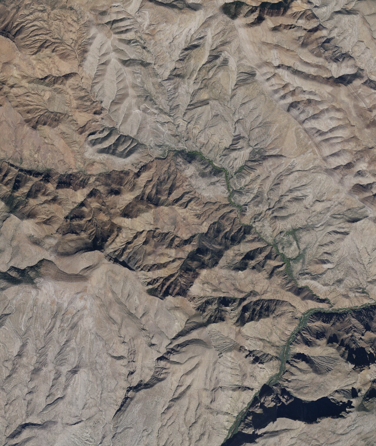
Listed under the plain name Spring, this one sits on San Carlos Reservation ground about fifteen miles from Peridot. Tepid water, warm enough to feel it. Road 600 is the nearest road, with the spring roughly 2,000 feet off it. Access is listed as unknown because the land is tribal.
A bit over three thousand feet. Rainfall runs to fourteen inches a year, and snow is light. The approach is a walk from Road 600, across tribal land with no public designation. Kellner Group Campground is about fifteen miles away, which is a fair drive for a tepid spring.
Permission from the reservation comes first. Best months are December through February. Camping is at Kellner Group, fifteen miles or so. No water chemistry and no USGS site are on file, so the temperature is the only measurement, and it is a warm one, no more. There is a photo on file, which helps with knowing what you are looking for.
USGS hasn't flown a detailed laser scan here yet, so this view comes from aerial photos and older elevation data.
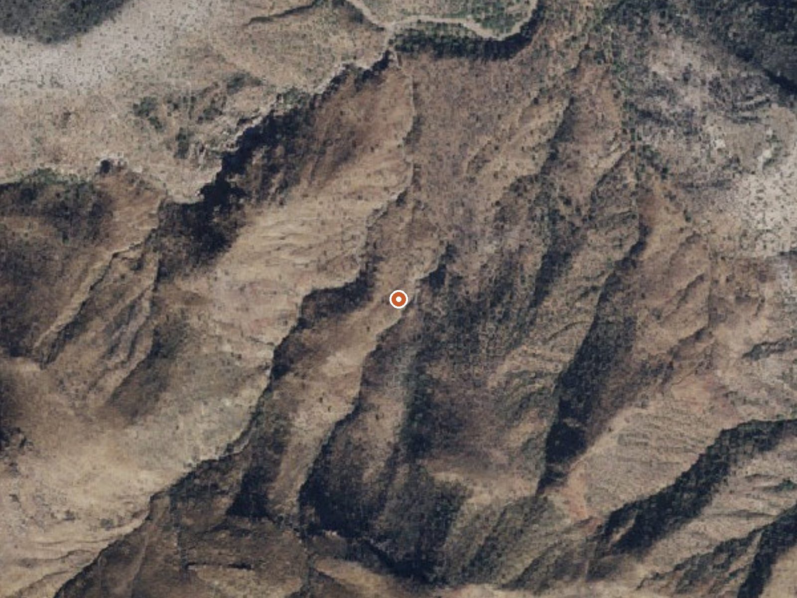
The orange dot marks the spring, in a frame about three quarters of a mile wide.
- Setting
- Hillside
- The spring sits on a steep slope that climbs to the south.
- Highest ground nearby
- 593 ft above the spring
- Within a quarter mile, to the south
A slice through the ground from south to north, about 0.6 miles end to end.
Elevation data: USGS 3D Elevation Program. Aerial imagery: USGS The National Map. Public domain.
That's about 1½ times the US average of 65. It's higher than at 27% of the springs on this site.
Heat flow measures the warmth working its way up through the ground from deep inside the earth. Where it runs high, rain and snowmelt that seep down through cracks in the rock come back up hot.
See every spring on the geothermal heat map →
Heat flow estimate: Stanford Thermal Earth Model (Aljubran & Horne, 2024), CC BY 4.0.
Some links are affiliate links. We may earn a commission at no extra cost to you.
Overview Kellner Group Site is nestled at the base of the beautiful Pinal Mountains south of Globe, Arizona. Several picnic areas are separeted from the larger group area creating a semi-secluded setting. This site's interesting rock walls and steps were built by the Civilian Conservation Corps. It sits in the riparian area of Kellner Canyon, which frequently has a small stream running through it following winter runoff.Recreation Kellner Group Site recreation opportunities include hiking,...
Spring is road-accessible, so you can bring more gear. Bring sun protection for exposed soaking.




As an Amazon Associate, we earn from qualifying purchases.
Springs Near Spring
More Springs Around 82°F
Hike 1 waterfall near Spring
Looking for more outdoor adventures? Explore waterfall hikes near Spring, Arizona.