Tonto Natural Bridge Spring

Tonto Natural Bridge Spring comes up warm, low seventies, a couple hundred yards from a road in Gila County, about four miles from Pine. The name is the most interesting thing on the record. Owner and access are two empty fields, so the page cannot tell you who controls the ground or the terms for getting to the water. It appears in the USGS thermal inventory.
A short walk, under two hundred yards, off a road the record leaves nameless. The spring sits at about forty-six hundred feet in Gila County, where a typical winter drops sixteen inches of snow and rainfall is middling. Nothing in the record describes the land unit, and the elevation is high enough that the short walk can be a snowy one for part of the year.
The climate averages favor winter, though with that much snow up here the real window will depend on the year. Houston Mesa is the campground the record gives, nine miles or so. Owner and access go unrecorded, so confirm before you go. The water is warm to the hand, short of a real soak.
Aircraft with laser scanners measured this ground to within inches. The scan strips out trees and buildings, leaving the bare shape of the land around Tonto Natural Bridge Spring.
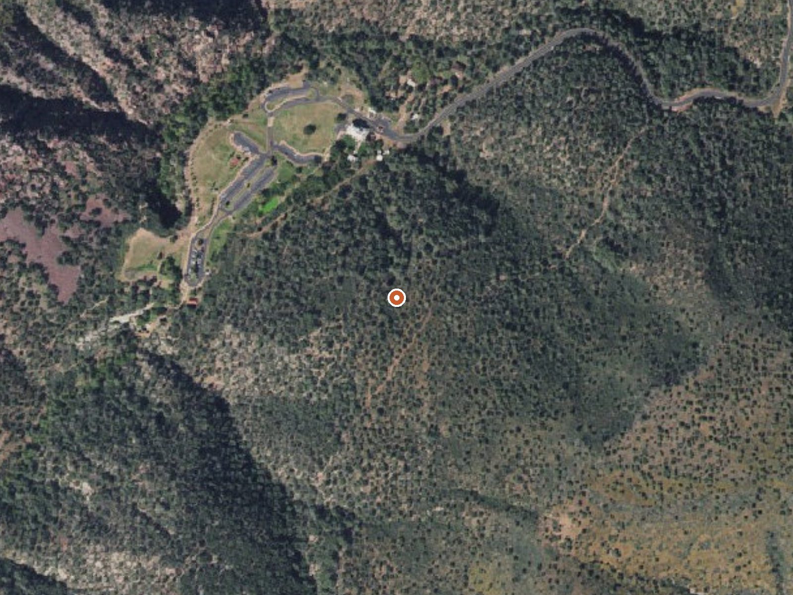
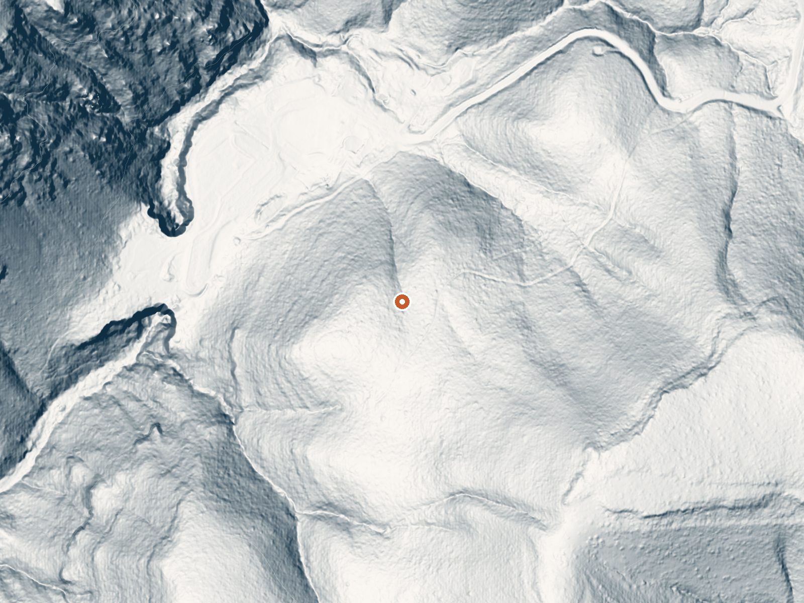
Drag the handle to compare the two views. The orange dot marks the spring, in a frame about three quarters of a mile wide.
- Setting
- Hillside
- The spring sits on a steep slope that climbs to the southeast.
- Highest ground nearby
- 441 ft above the spring
- Within a quarter mile, to the southeast
A slice through the ground from northwest to southeast, about 0.6 miles end to end.
Elevation data: USGS 3D Elevation Program. Aerial imagery: USGS The National Map. Public domain.
That's about 1½ times the US average of 65. It's higher than at 27% of the springs on this site.
Heat flow measures the warmth working its way up through the ground from deep inside the earth. Where it runs high, rain and snowmelt that seep down through cracks in the rock come back up hot.
See every spring on the geothermal heat map →
Heat flow estimate: Stanford Thermal Earth Model (Aljubran & Horne, 2024), CC BY 4.0.
Some links are affiliate links. We may earn a commission at no extra cost to you.
Overview Houston Mesa Campground is located in the forested northern section of Tonto National Forest, just one mile north of Payson, Arizona and less than two hours from Phoenix. With family, equestrian and tent-only campsites, this campground can accommodate a range of visitors and offers plenty of ways to enjoy the outdoors, including several miles of hiking and horseback riding trails nearby. As the fifth largest forest in the United States, the Tonto National Forest is one of the most...
Tonto Natural Bridge Spring is road-accessible, so you can bring more gear.






As an Amazon Associate, we earn from qualifying purchases.
Springs Near Tonto Natural Bridge Spring
More Springs Around 72°F
Hike 2 waterfalls near Tonto Natural Bridge Spring
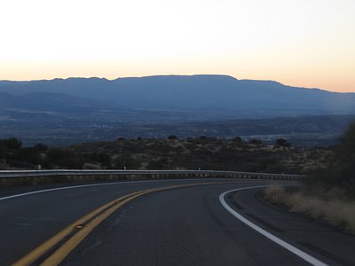
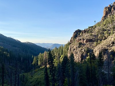
Looking for more outdoor adventures? Explore waterfall hikes near Tonto Natural Bridge Spring, Arizona.