Soda Spring

Soda Spring is a tepid mineral spring in Yavapai County, three miles from Lake Montezuma, close enough to Soda Springs Ranch Road that you could almost reach it from the car. The water runs in the mid-seventies. Slightly acidic by the one sample on record. The Wikipedia entry tied to this listing describes a town in Idaho and has no bearing here, and nobody has written down who owns the land or what the public is allowed to do there.
Soda Springs Ranch Road is as much as the record says about the ground. Elevation is a little above thirty-five hundred feet, with fifteen inches of snow in an average winter and a moderately dry year. The road name points at a ranch, and private land is a live possibility until someone confirms otherwise. Roadside access, a hundred feet give or take, means no physical barrier stands between the road and the water.
December through February rate highest. Clear Creek Campground is around nine miles away if you want to stay over. The water chemistry comes from a 1959 sample, old enough that it says more about the spring's past than its present, and the access status is blank, so check ownership before you walk in.
Aircraft with laser scanners measured this ground to within inches. The scan strips out trees and buildings, leaving the bare shape of the land around Soda Spring.
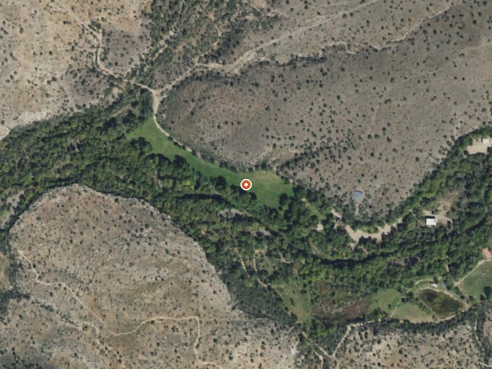
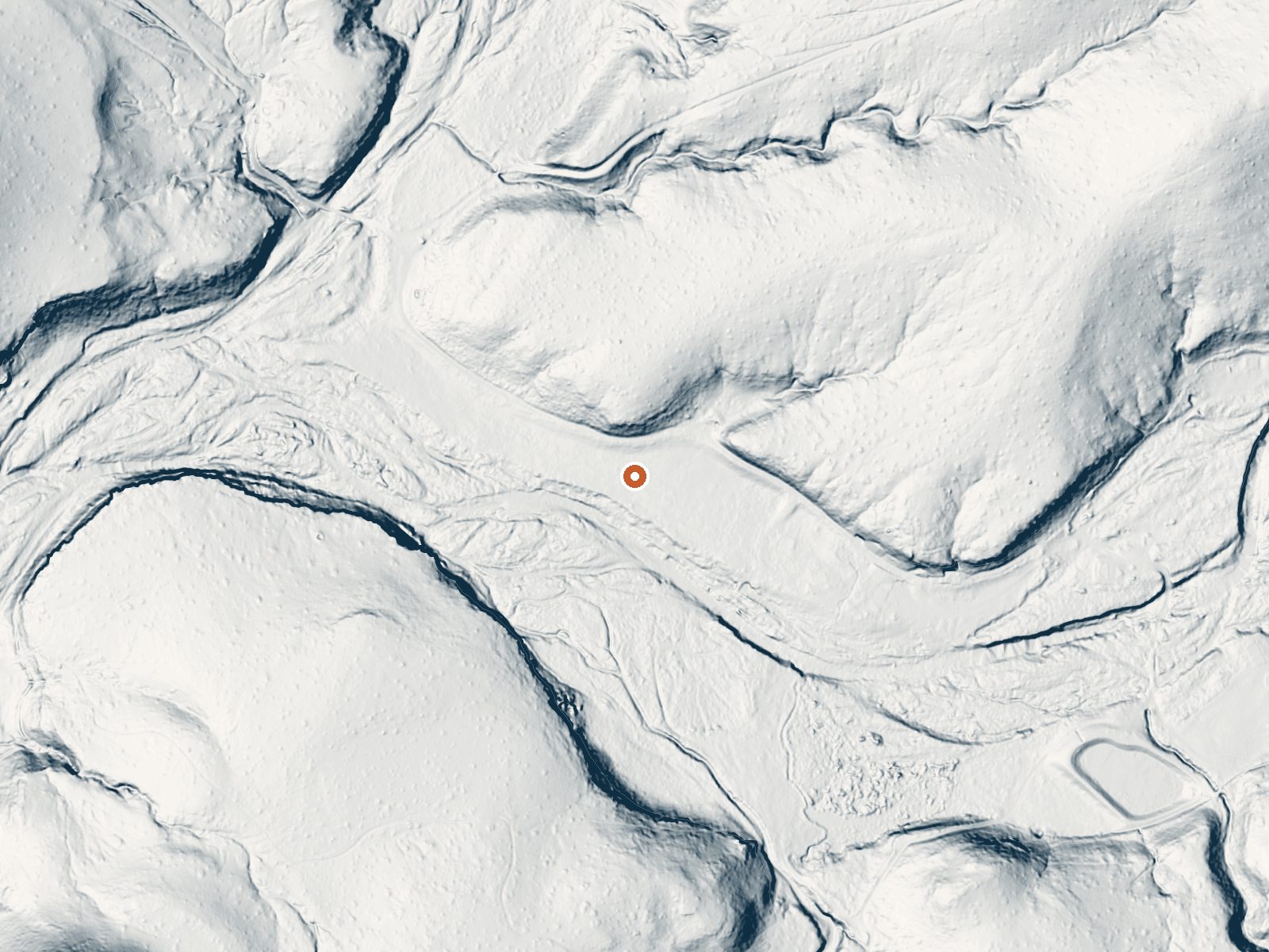
Drag the handle to compare the two views. The orange dot marks the spring, in a frame about three quarters of a mile wide.
- Setting
- Valley floor
- Gentle slopes rise on both sides.
- Highest ground nearby
- 98 ft above the spring
- Within a quarter mile, to the east
A slice through the ground from north to south, about 0.6 miles end to end.
Elevation data: USGS 3D Elevation Program. Aerial imagery: USGS The National Map. Public domain.
That's about 1½ times the US average of 65. It's higher than at 55% of the springs on this site.
Heat flow measures the warmth working its way up through the ground from deep inside the earth. Where it runs high, rain and snowmelt that seep down through cracks in the rock come back up hot.
See every spring on the geothermal heat map →
Heat flow estimate: Stanford Thermal Earth Model (Aljubran & Horne, 2024), CC BY 4.0.
The water at Soda Spring is slightly acidic (pH 6.7). It is notably rich in magnesium (known for muscle relaxation and stress relief).
Some links are affiliate links. We may earn a commission at no extra cost to you.
Overview This cozy group campground is tucked in the Lower Sonoran Desert along the banks of the fresh, chilly Clear Creek. Campers can wade in the creek, fish, or curl up with a book under the umbrella of cottonwood trees. Another popular pastime here is birdwatching, where you might just spot a hawk or bald eagle in flight. Clear Creek Campground is seven miles southeast of the small ranching town of Camp Verde. It's part of the Coconino National Forest, one of the most diverse forests in...
Soda Spring is road-accessible, so you can bring more gear.






As an Amazon Associate, we earn from qualifying purchases.
Springs Near Soda Spring
More Springs Around 75°F
Slightly Acidic Springs (pH ~6.7)
Hike 2 waterfalls near Soda Spring
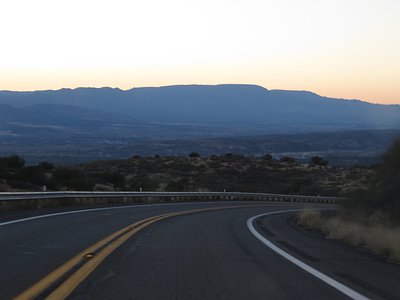
Looking for more outdoor adventures? Explore waterfall hikes near Soda Spring, Arizona.