Byron Hot Springs
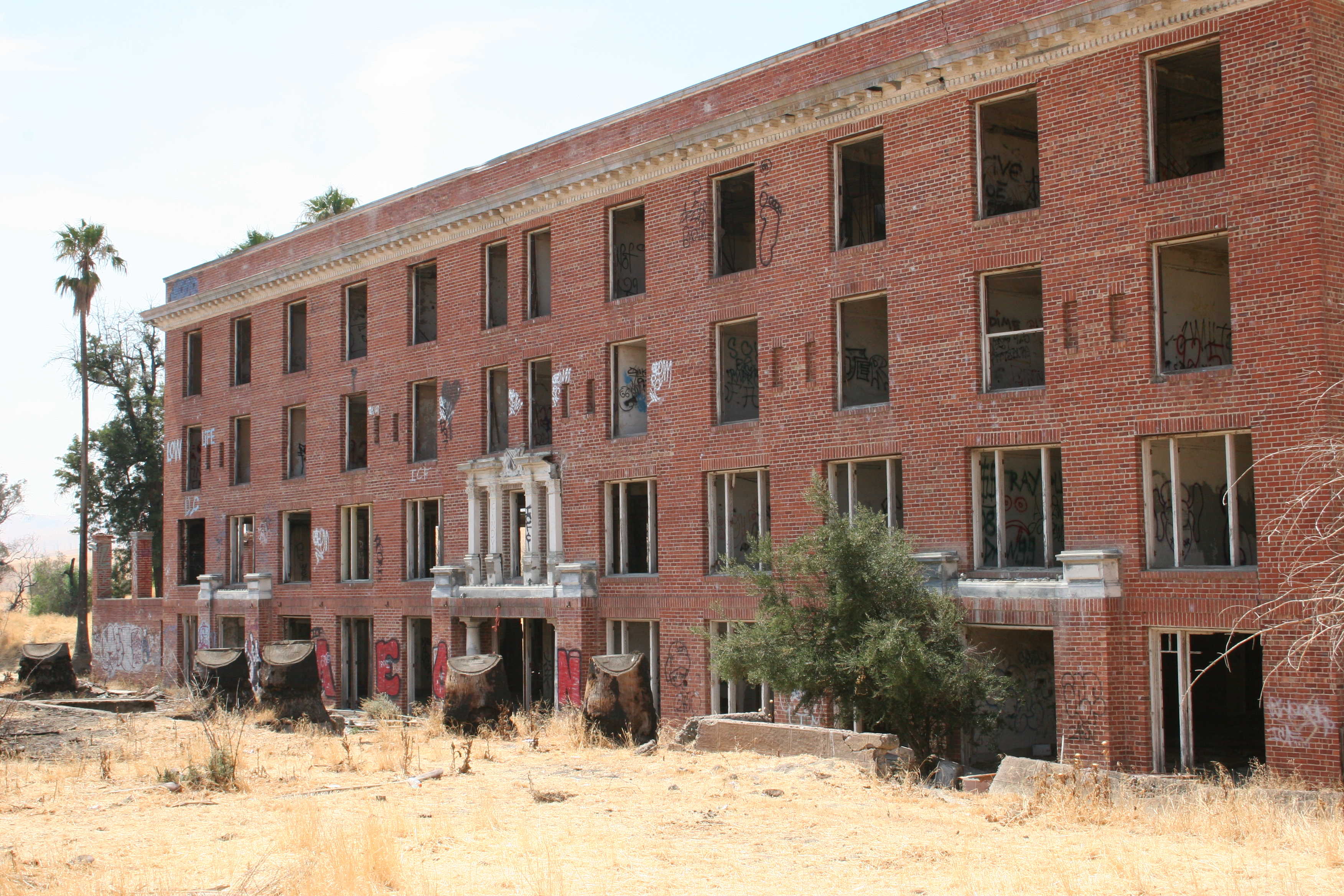
Byron Hot Springs earned its name a century ago as a resort built over dozens of spring sources in eastern Contra Costa County, a couple of miles from the town of Byron. The recorded temperature is close to blood heat, a warm bath and no more. Whether anyone can get in today is something our records leave open, and so is who owns the ground.
Low ground, barely above sea level, in the dry flat country east of the Bay. Winters bring rain and never snow. The closest road stops about half a mile short of the springs, so count on a walk across flat land to reach them. The landowner is blank in our records, and no campground shows up for this entry at all.
Winter is the pleasant stretch here, roughly December into February, when cool air makes warm water appealing. The walk from the road is short. No campground, no fee information. Before you go, learn whether the old resort property admits visitors. That answer is not in anything we hold.
Wikipedia counts 57 separate spring sources in the Byron system. The site was developed into a resort, and in its early 1900s heyday it drew movie stars and well known athletes.
Aircraft with laser scanners measured this ground to within inches. The scan strips out trees and buildings, leaving the bare shape of the land around Byron Hot Springs.
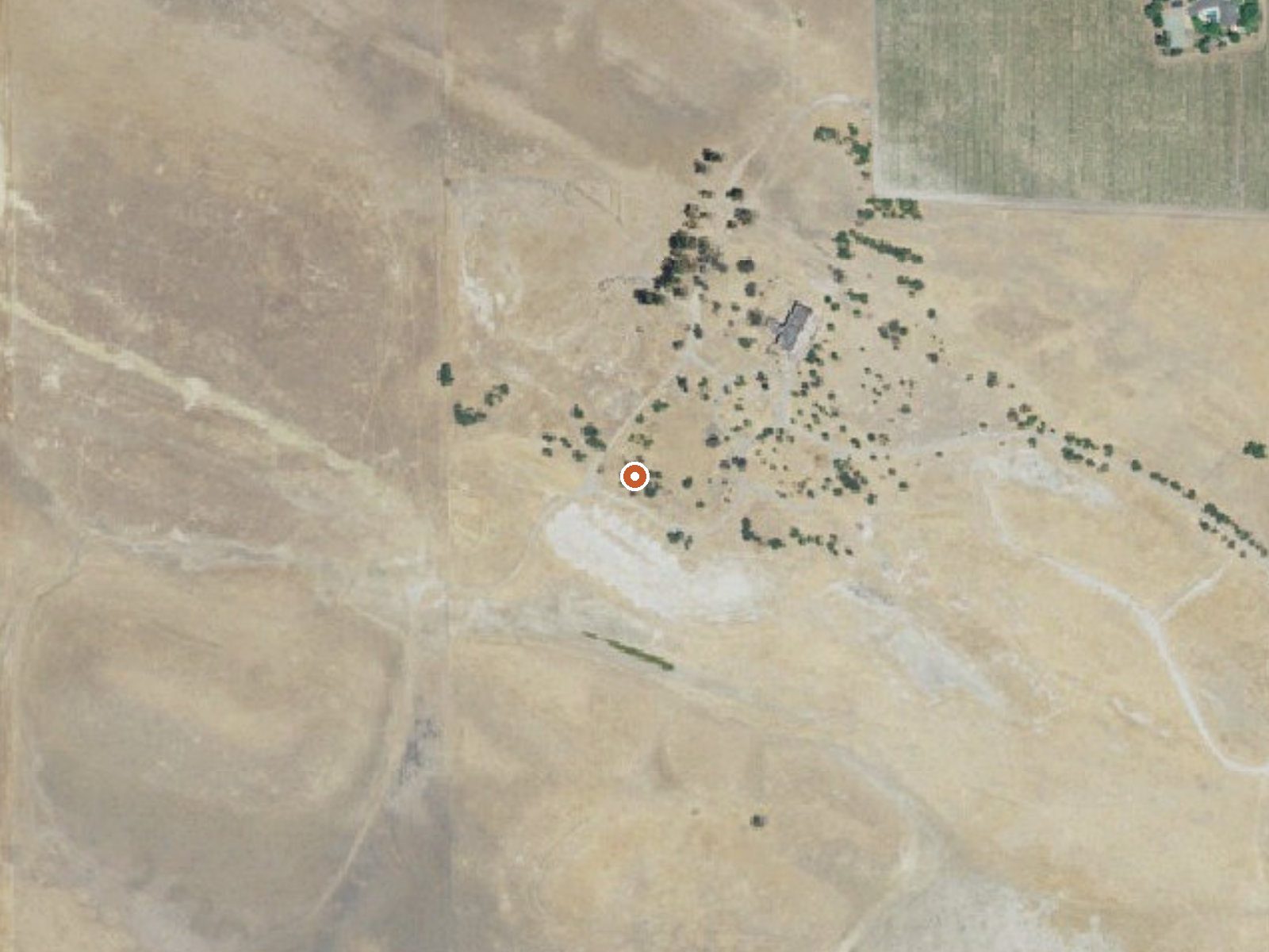
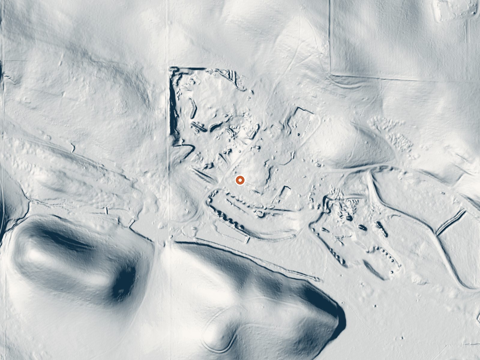
Drag the handle to compare the two views. The orange dot marks the spring, in a frame about three quarters of a mile wide.
- Setting
- Gentle slope
- The ground tilts gently up to the northeast.
- Highest ground nearby
- 85 ft above the spring
- Within a quarter mile, to the northeast
A slice through the ground from southwest to northeast, about 0.6 miles end to end.
Elevation data: USGS 3D Elevation Program. Aerial imagery: USGS The National Map. Public domain.
That's close to the US average of 65. It's higher than at 16% of the springs on this site.
Heat flow measures the warmth working its way up through the ground from deep inside the earth. Where it runs high, rain and snowmelt that seep down through cracks in the rock come back up hot.
See every spring on the geothermal heat map →
Heat flow estimate: Stanford Thermal Earth Model (Aljubran & Horne, 2024), CC BY 4.0.
Some links are affiliate links. We may earn a commission at no extra cost to you.
Byron Hot Springs is road-accessible, so you can bring more gear.




As an Amazon Associate, we earn from qualifying purchases.
Springs Near Byron Hot Springs
More Springs Around 96°F
Hike 5 waterfalls near Byron Hot Springs
Looking for more outdoor adventures? Explore waterfall hikes near Byron Hot Springs, California.