Mccoy Spring
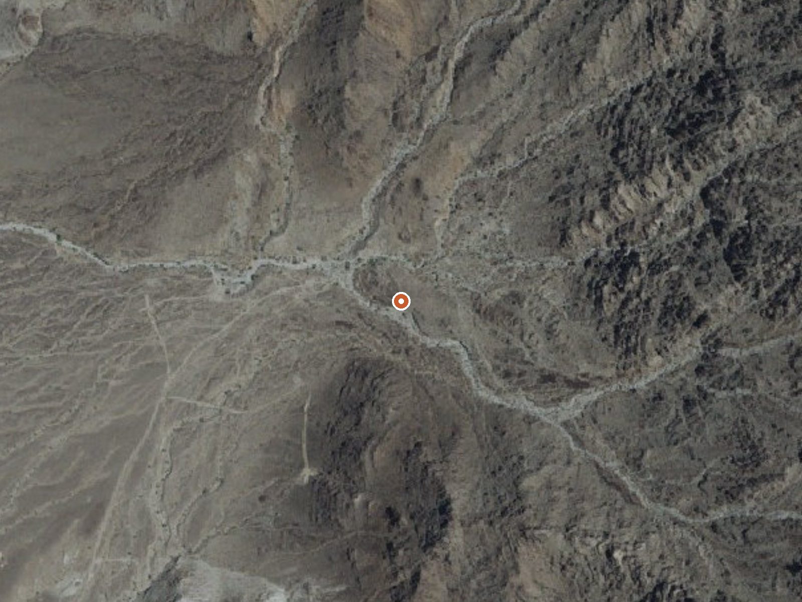
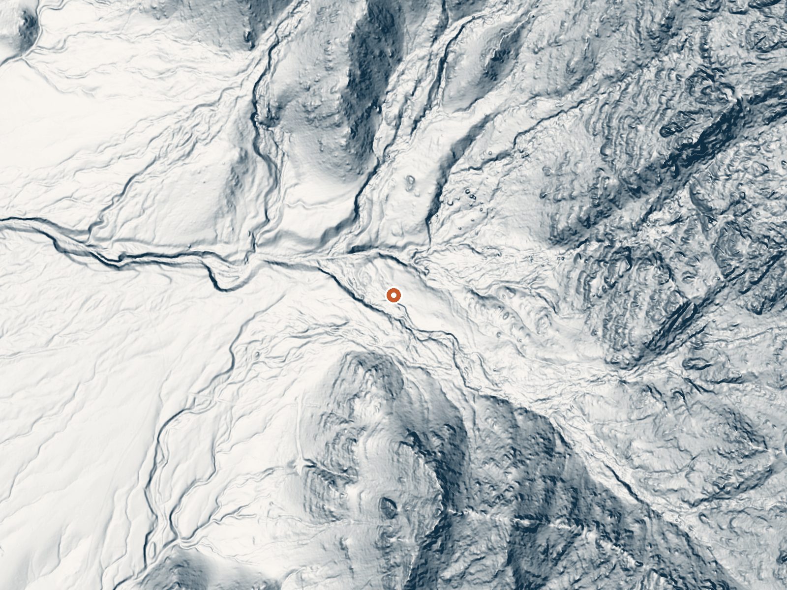
Drag the handle to compare the two views. The orange dot marks the spring, in a frame about three quarters of a mile wide.
McCoy Spring is a warm seep on BLM ground in the desert of eastern Riverside County, well out from the settlement of Mesa Verde. The water is tepid, cooler than a bath. The draw, if any, is the desert itself. The public may enter, per the record, and the Palm Springs and South Coast office of the BLM manages the land.
Getting in is a backcountry proposition. The nearest road is close to six miles away and goes unnamed on file, so route-finding is on you. Low desert, under a thousand feet, with a hot annual average and almost no rain. Snow does not happen. There is no wilderness or other special status listed, only general public land under the BLM.
December through February are the months given as best, which in this part of California means walkable daytime temperatures. Summer heat is a hazard on a six-mile desert approach. Wiley's Well is the nearest campground, roughly seventeen miles off. Access is open.
Aircraft with laser scanners measured this ground to within inches. The scan strips out trees and buildings, leaving the bare shape of the land around Mccoy Spring.
- Setting
- Canyon floor
- Steep ground climbs away on both sides of the spring.
- Highest ground nearby
- 487 ft above the spring
- Within a quarter mile, to the east
A slice through the ground from south to north, about 0.6 miles end to end.
Elevation data: USGS 3D Elevation Program. Aerial imagery: USGS The National Map. Public domain.
That's about 1½ times the US average of 65. It's higher than at 29% of the springs on this site.
Heat flow measures the warmth working its way up through the ground from deep inside the earth. Where it runs high, rain and snowmelt that seep down through cracks in the rock come back up hot.
See every spring on the geothermal heat map →
Heat flow estimate: Stanford Thermal Earth Model (Aljubran & Horne, 2024), CC BY 4.0.
Located in the lower Colorado Desert in eastern Riverside County, Wiley's Well campground is located adjacent to a desert riparian wash populated by palo verde, smoke tree, mesquite and ironwood trees. There is easy 4-wheel drive access to nearby rock-hounding sites: Hauser Geode Beds and Opal Hill Fire Agate Mine. The historic Bradshaw Trail National Scenic Byway provides access to numerous trails, gem and mineral collection sites, and an historic stage route/mining area. Long term perm...