Spring
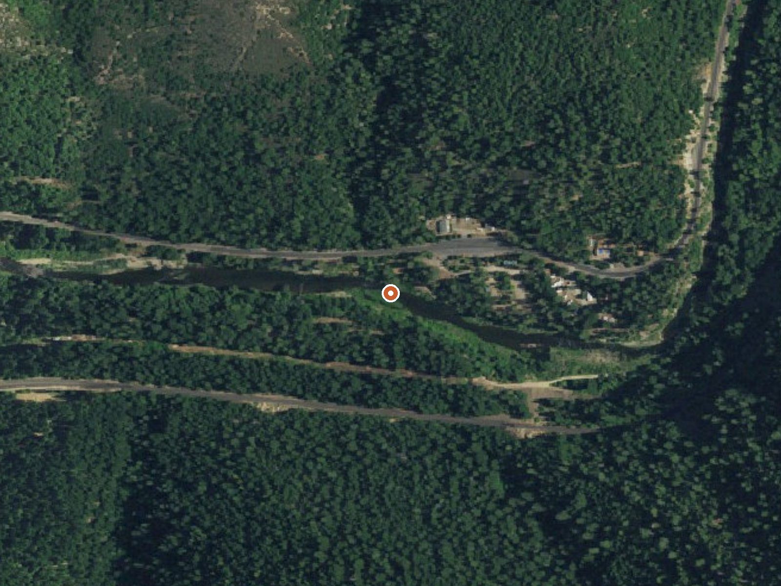
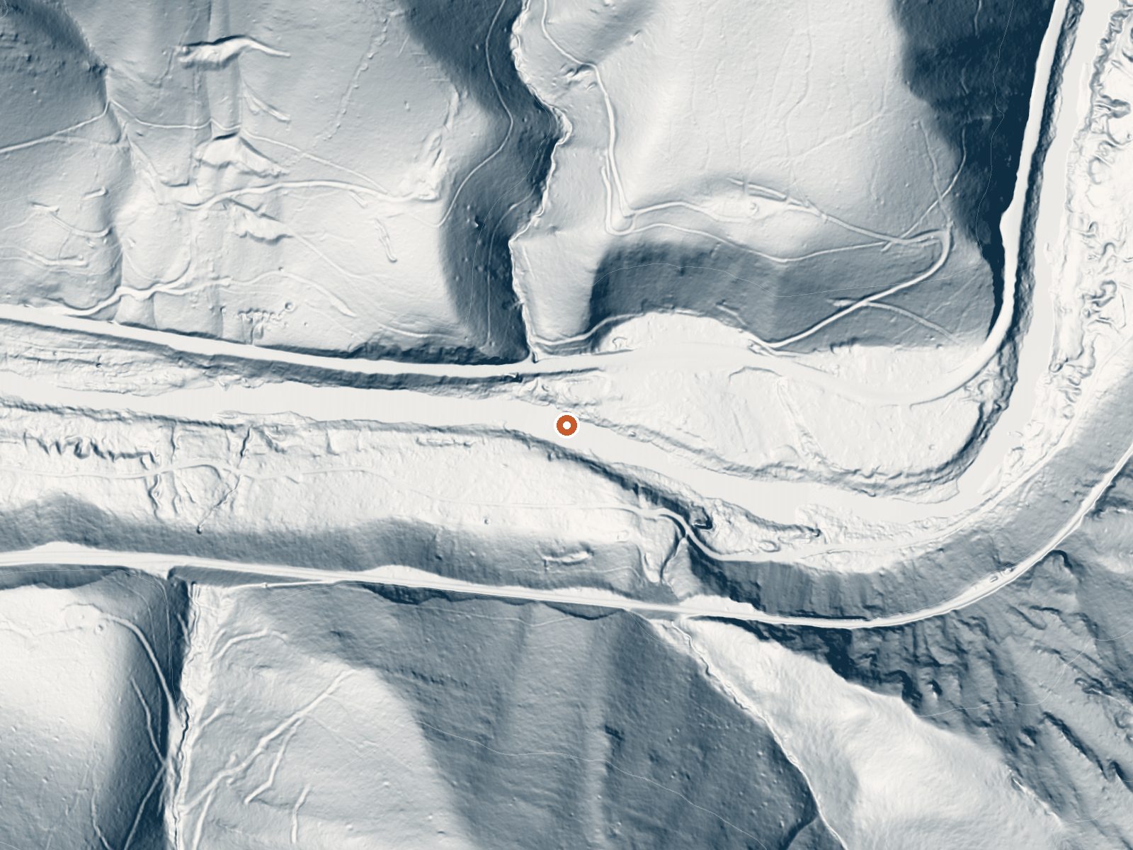
Drag the handle to compare the two views. The orange dot marks the spring, in a frame about three quarters of a mile wide.
Seven or so miles from Quincy, off the Feather River Highway in Plumas County, an unnamed spring comes up at soaking temperature, right around body heat. It sits a stone's throw from the highway. Who holds the ground around it is not recorded, and no access status is on file.
The Feather River Highway passes within a couple hundred feet. Call it roadside. Under three thousand feet but wet: forty inches of precipitation annually and winters that stack over nine feet of snow. Averaged across the year, the temperature is mid fifties.
January, December and February top the record for a visit, snow and all. Hallsted campground is about two miles off. At ninety-nine degrees the water is comfortable with no burn risk. There is no landowner named and no access note, so a private-property check is worth doing before you get in.
Aircraft with laser scanners measured this ground to within inches. The scan strips out trees and buildings, leaving the bare shape of the land around Spring.
- Setting
- Canyon floor
- Steep ground climbs away on both sides of the spring.
- Highest ground nearby
- 600 ft above the spring
- Within a quarter mile, to the south
A slice through the ground from southwest to northeast, about 0.6 miles end to end.
Elevation data: USGS 3D Elevation Program. Aerial imagery: USGS The National Map. Public domain.
That's about twice the US average of 65. It's higher than at 83% of the springs on this site.
Heat flow measures the warmth working its way up through the ground from deep inside the earth. Where it runs high, rain and snowmelt that seep down through cracks in the rock come back up hot.
See every spring on the geothermal heat map →
Heat flow estimate: Stanford Thermal Earth Model (Aljubran & Horne, 2024), CC BY 4.0.
Some links are affiliate links. We may earn a commission at no extra cost to you.
Overview Hallsted campground is conveniently situated in the Feather River Canyon, just off the main road in the northern Sierra Nevada Mountains. At an elevation of 2,300 feet, it offers a cool getaway from the summer heat, as well as a variety of outdoor activities The route on the nearby Feather River National Scenic Byway traverses a steeply carved river gorge that encapsulates the historic railroad system from Oroville to Quincy and impressive powerhouses built to provide hydroelectric...
Spring is road-accessible, so you can bring more gear.






As an Amazon Associate, we earn from qualifying purchases.
Springs Near Spring
More Springs Around 99°F
Hike 6 waterfalls near Spring
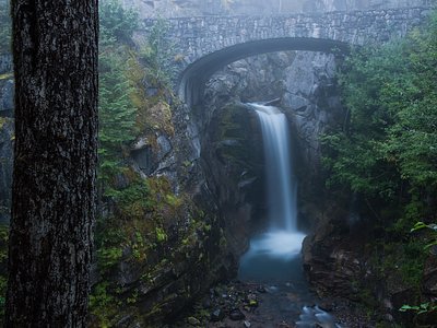
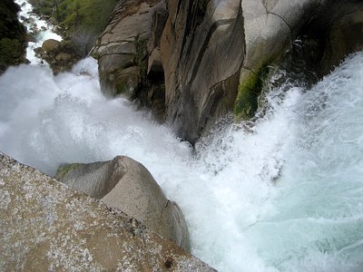
Looking for more outdoor adventures? Explore waterfall hikes near Spring, California.