Temecula Hot Springs

Temecula Hot Springs is a hot USGS thermal site in Riverside County, under a mile from Murrieta Hot Springs. The water comes out hotter than comfortable soaking, hot enough to need caution. It sits a few hundred feet off Shady Brook Circle. Ownership is blank, public access too, and with a town under a mile away, that matters.
Low inland valley at around 1,200 feet, dry and warm, with no snow. Shady Brook Circle is the closest road, a few hundred feet away. No land unit or designation appears. A USGS water sample taken in 1964 showed a strongly alkaline water; sodium and sulfate were among the minerals measured. Wildomar Campground is about ten miles away.
The listed window is winter and the climate is mild enough to go any time. Roadside. The temperature is high enough to scald if you are careless, so test the water before stepping in. The chemistry on file is over sixty years old. Access and ownership are unrecorded. Wildomar Campground, ten miles out, is the only camping option in our data.
The USGS has this on record as a thermal site and sampled its water in December 1964, the most recent chemistry available for it.
Aircraft with laser scanners measured this ground to within inches. The scan strips out trees and buildings, leaving the bare shape of the land around Temecula Hot Springs.
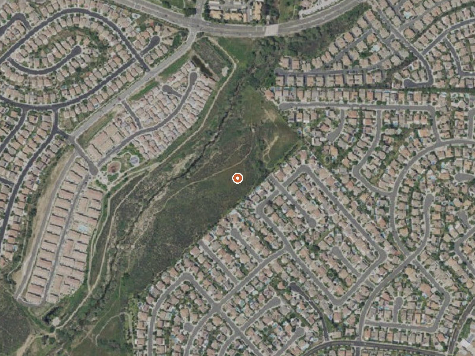
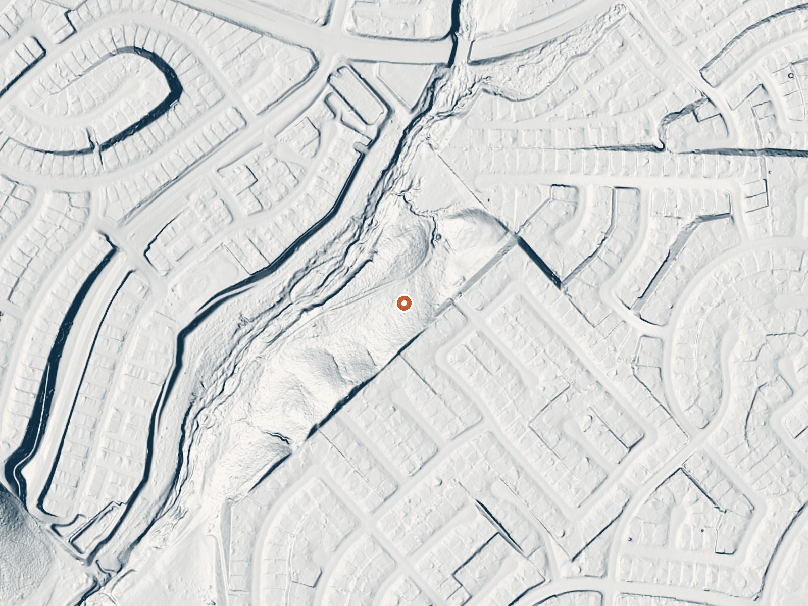
Drag the handle to compare the two views. The orange dot marks the spring, in a frame about three quarters of a mile wide.
- Setting
- Gentle slope
- The ground tilts gently up to the east.
- Highest ground nearby
- 43 ft above the spring
- Within a quarter mile, to the east
A slice through the ground from north to south, about 0.6 miles end to end.
Elevation data: USGS 3D Elevation Program. Aerial imagery: USGS The National Map. Public domain.
That's about 1½ times the US average of 65. It's higher than at 28% of the springs on this site.
Heat flow measures the warmth working its way up through the ground from deep inside the earth. Where it runs high, rain and snowmelt that seep down through cracks in the rock come back up hot.
See every spring on the geothermal heat map →
Heat flow estimate: Stanford Thermal Earth Model (Aljubran & Horne, 2024), CC BY 4.0.
The water at Temecula Hot Springs is alkaline (pH 9.1) with 700 mg/L total dissolved solids. It is notably rich in chloride (natural antiseptic with skin health benefits).
Some links are affiliate links. We may earn a commission at no extra cost to you.
11 sites available. Wildomar Campground is currently closed due to the Wildomar Fire until further notice.
Temecula Hot Springs is road-accessible, so you can bring more gear. The water runs hot, so extra hydration is key.




As an Amazon Associate, we earn from qualifying purchases.
Springs Near Temecula Hot Springs
More Springs Around 116°F
Alkaline Springs (pH ~9.1)
Hike 6 waterfalls near Temecula Hot Springs
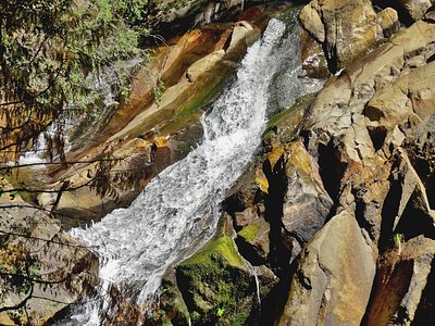
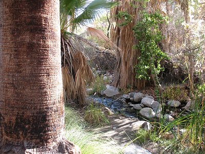
Looking for more outdoor adventures? Explore waterfall hikes near Temecula Hot Springs, California.