Unnamed Thermal Spring
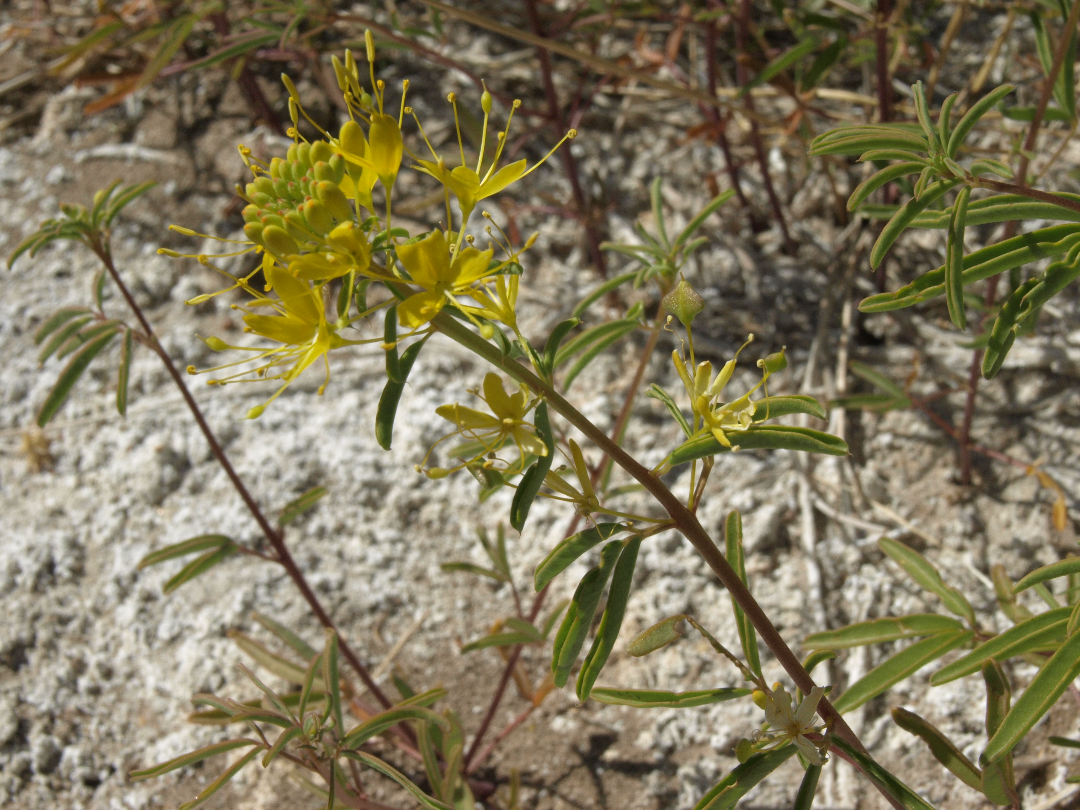
This is an unnamed warm spring on BLM land outside Big Pine, Inyo County, about seven miles from town. The water measures 84 degrees, which is tepid, bath water that has been sitting a while. Reaching it means a hike of a little over a mile from the nearest road. The Bishop Field Office manages the ground and lists it open.
There is no road name on file; the record gives a distance only, roughly 1.1 miles on foot from wherever the driving ends. At around four thousand feet, with ten inches of moisture a year and a couple feet of snow in winter, this is dry country. Public land under the BLM, designated as such.
Winter is the season on record, December into February. Cedar Flat Group Campground is the nearest camping on file, around seven miles away, and as the name says it is a group site. Nothing on file about a fee or water chemistry. Allow time for the mile-plus walk in.
Aircraft with laser scanners measured this ground to within inches. The scan strips out trees and buildings, leaving the bare shape of the land around this spring.
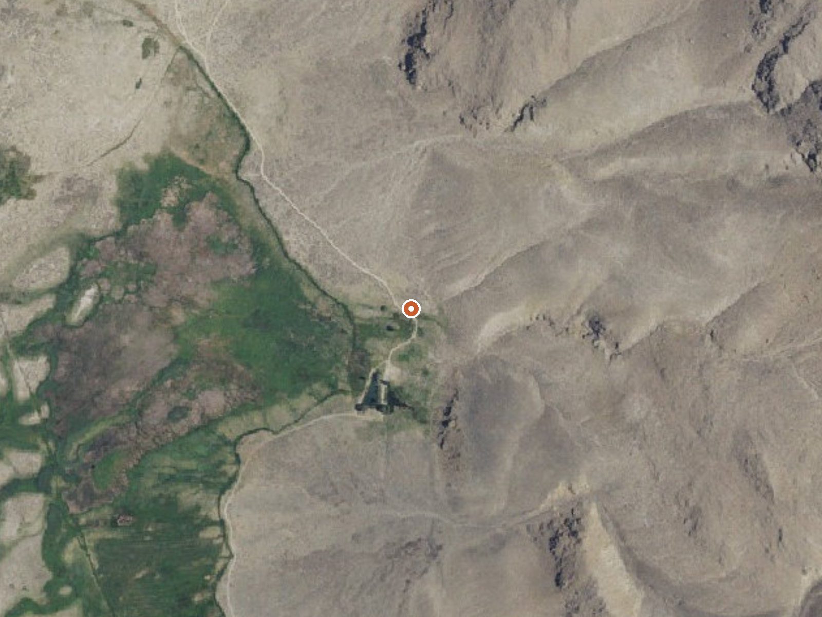
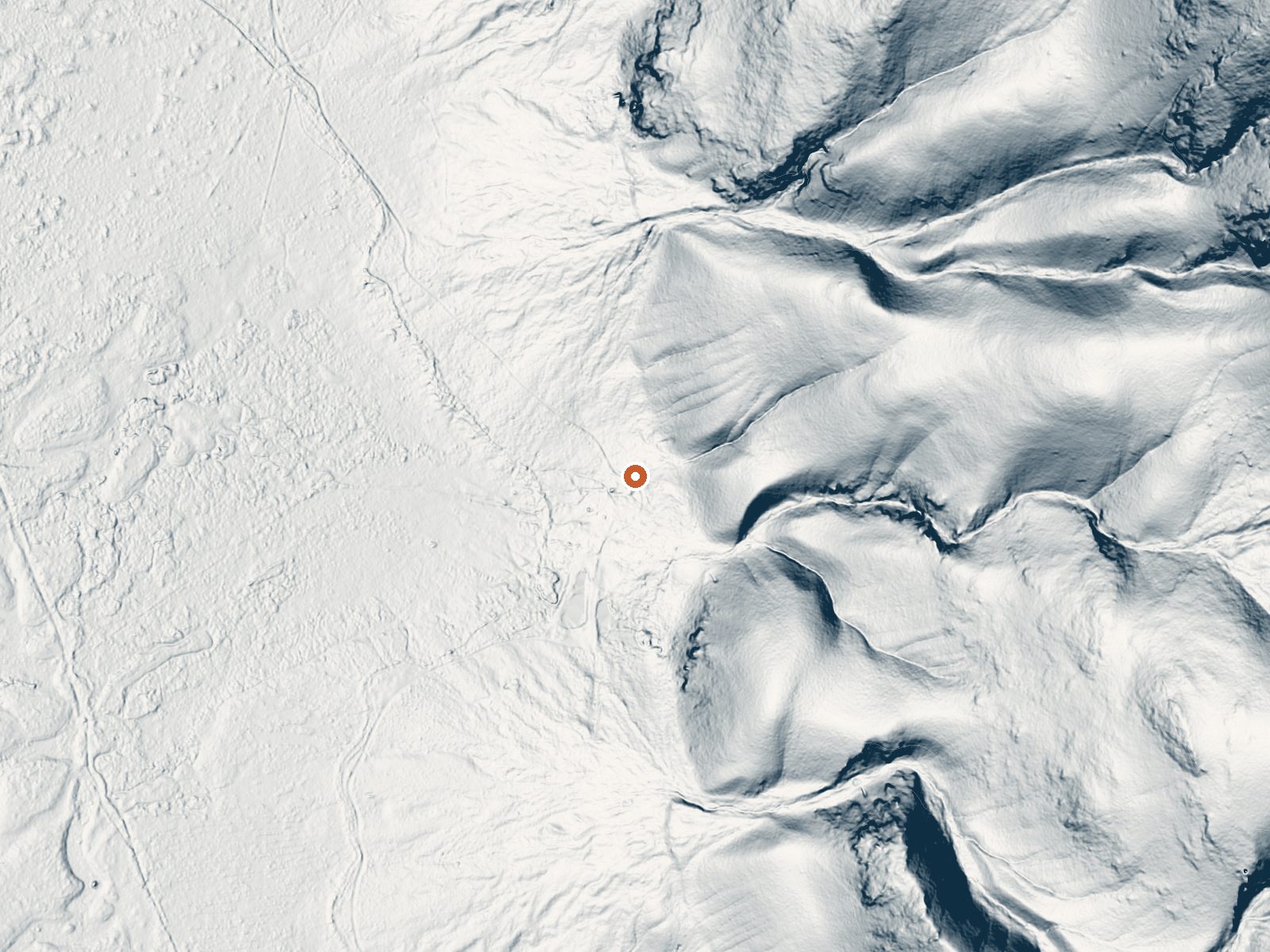
Drag the handle to compare the two views. The orange dot marks the spring, in a frame about three quarters of a mile wide.
- Setting
- Hillside
- The spring sits on a steep slope that climbs to the east.
- Highest ground nearby
- 416 ft above the spring
- Within a quarter mile, to the east
A slice through the ground from west to east, about 0.6 miles end to end.
Elevation data: USGS 3D Elevation Program. Aerial imagery: USGS The National Map. Public domain.
That's about twice the US average of 65. It's higher than at 89% of the springs on this site.
Heat flow measures the warmth working its way up through the ground from deep inside the earth. Where it runs high, rain and snowmelt that seep down through cracks in the rock come back up hot.
See every spring on the geothermal heat map →
Heat flow estimate: Stanford Thermal Earth Model (Aljubran & Horne, 2024), CC BY 4.0.
Some links are affiliate links. We may earn a commission at no extra cost to you.
Overview Cedar Flat Group sites are popular with academic institutions for geology field trips. With no nearby light sources, the night sky is brilliant for star gazing and night photography.Recreation A perfect location for star gazing, geology and hiking.Facilities Three large group camp sites can accommodate between 25 and 50 people. Each has a picnic shelter with table, campfire ring and vault toilet. There is no water at this location nor is there a natural water source. The nearest sour...
this spring is road-accessible, so you can bring more gear.






As an Amazon Associate, we earn from qualifying purchases.
Springs Near This Spring
More Springs Around 84°F
Hike 6 waterfalls near this spring
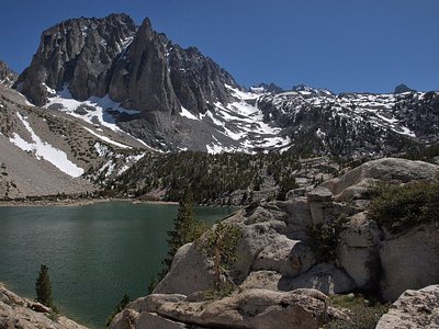
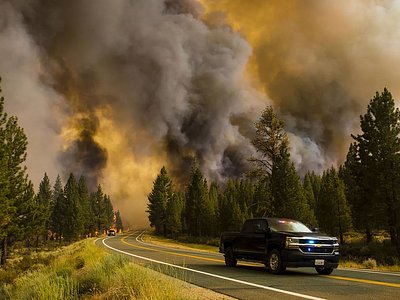
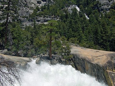
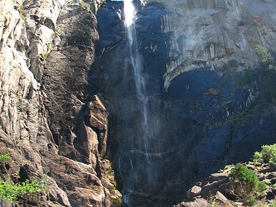
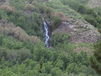
Looking for more outdoor adventures? Explore waterfall hikes near this spring, California.