Unnamed Thermal Spring
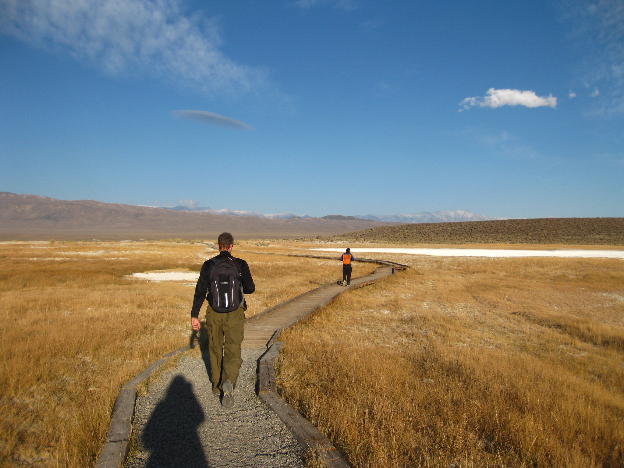
Ten miles from Mammoth Lakes, an unnamed BLM spring in Mono County managed out of the Bishop Field Office. Water on record is 73 degrees, which is tepid. Open access. Nothing about it is dramatic on file; it is a thermal point close to a road at high elevation, with no photograph and no second name.
The record lists it as roadside, about 250 feet from a road it leaves nameless. It lies a little over seven thousand feet up, and winters are serious: the snow figure is roughly eight feet a year, with eighteen inches of precipitation for the year. BLM land, designated public, no larger unit named.
Winter again, by the record. McGee Creek campground is about three miles away. BLM land, open, no fee on file. At 73 degrees, expect to cool off quickly once out of the sun. No chemistry sample recorded, and the reading could be an old one.
Aircraft with laser scanners measured this ground to within inches. The scan strips out trees and buildings, leaving the bare shape of the land around this spring.
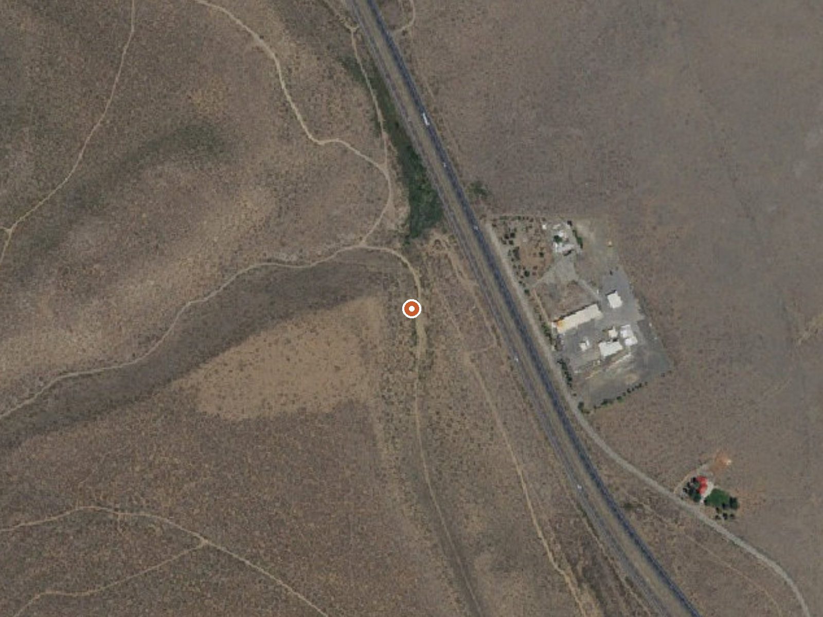
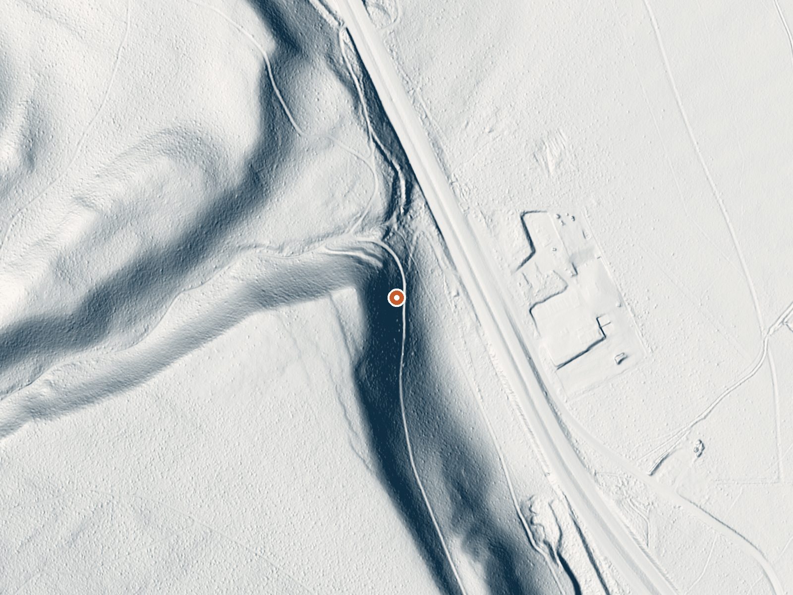
Drag the handle to compare the two views. The orange dot marks the spring, in a frame about three quarters of a mile wide.
- Setting
- Hillside
- The spring sits on a steep slope that climbs to the west.
- Highest ground nearby
- 197 ft above the spring
- Within a quarter mile, to the west
A slice through the ground from west to east, about 0.6 miles end to end.
Elevation data: USGS 3D Elevation Program. Aerial imagery: USGS The National Map. Public domain.
That's about twice the US average of 65. It's higher than at 90% of the springs on this site.
Heat flow measures the warmth working its way up through the ground from deep inside the earth. Where it runs high, rain and snowmelt that seep down through cracks in the rock come back up hot.
See every spring on the geothermal heat map →
Heat flow estimate: Stanford Thermal Earth Model (Aljubran & Horne, 2024), CC BY 4.0.
Some links are affiliate links. We may earn a commission at no extra cost to you.
Overview McGee Campground provides a pleasant, sunny location for family camping between Bishop and Mammoth Lakes in the eastern Sierra Nevada Mountains. The campground's proximity to U.S. Highway 395 and the adjacent John Muir Wilderness make it a hot spot for hiking, rock climbing, fishing, wildlife viewing, horseback riding, hunting, photography and geology study.Recreation Majestic scenery and challenging trails draw in hikers, mountain bikers and equestrian enthusiasts. The McGee Creek...
this spring sits at 7,040 feet above sea level, way above the mile-high mark. You may not feel the altitude strongly, but hot water still dehydrates you faster at elevation. UV is about 28% stronger than at sea level, so bring sunscreen and drink more water than you normally would.



As an Amazon Associate, we earn from qualifying purchases.
this spring is road-accessible, so you can bring more gear.






As an Amazon Associate, we earn from qualifying purchases.
Springs Near This Spring
More Springs Around 73°F
Hike 6 waterfalls near this spring
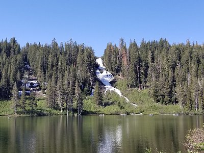
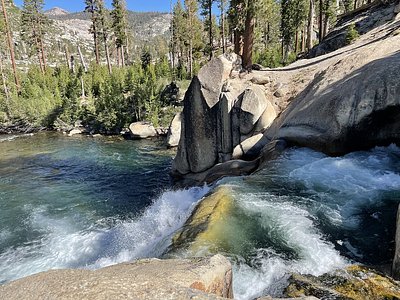
Looking for more outdoor adventures? Explore waterfall hikes near this spring, California.