Unnamed Thermal Spring
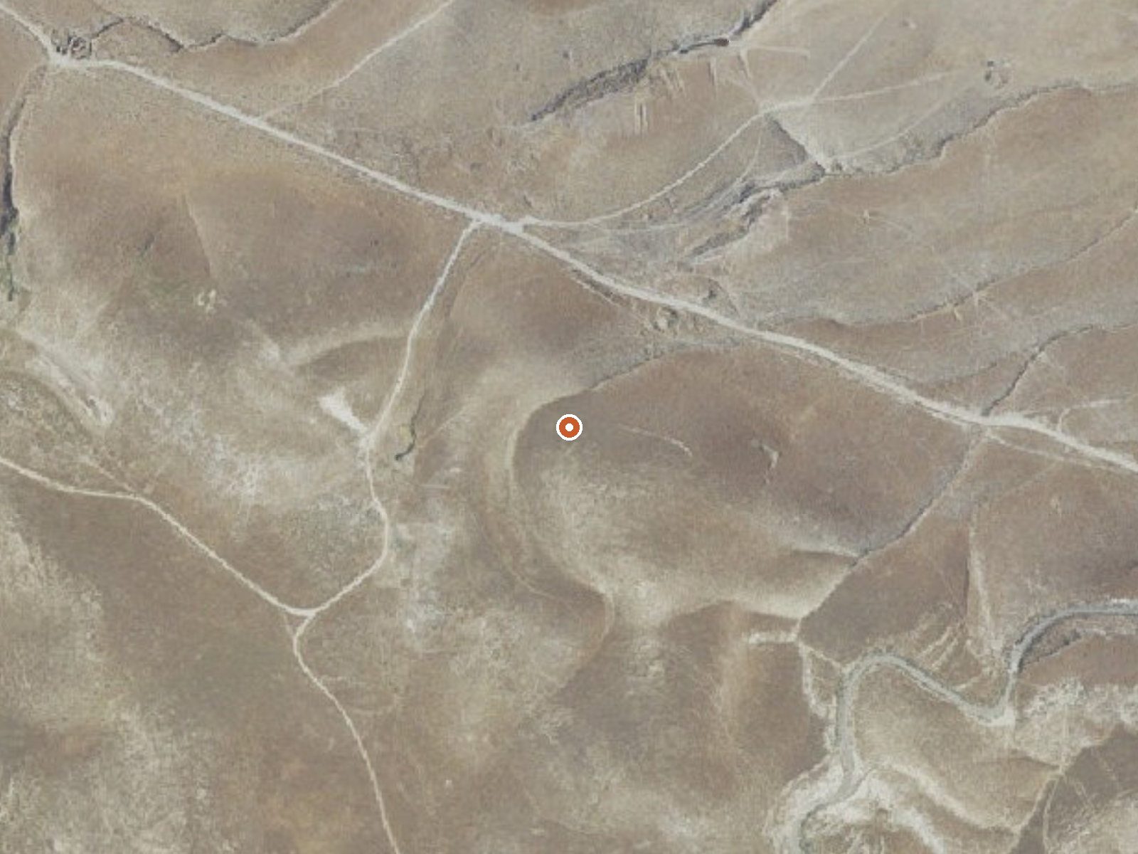
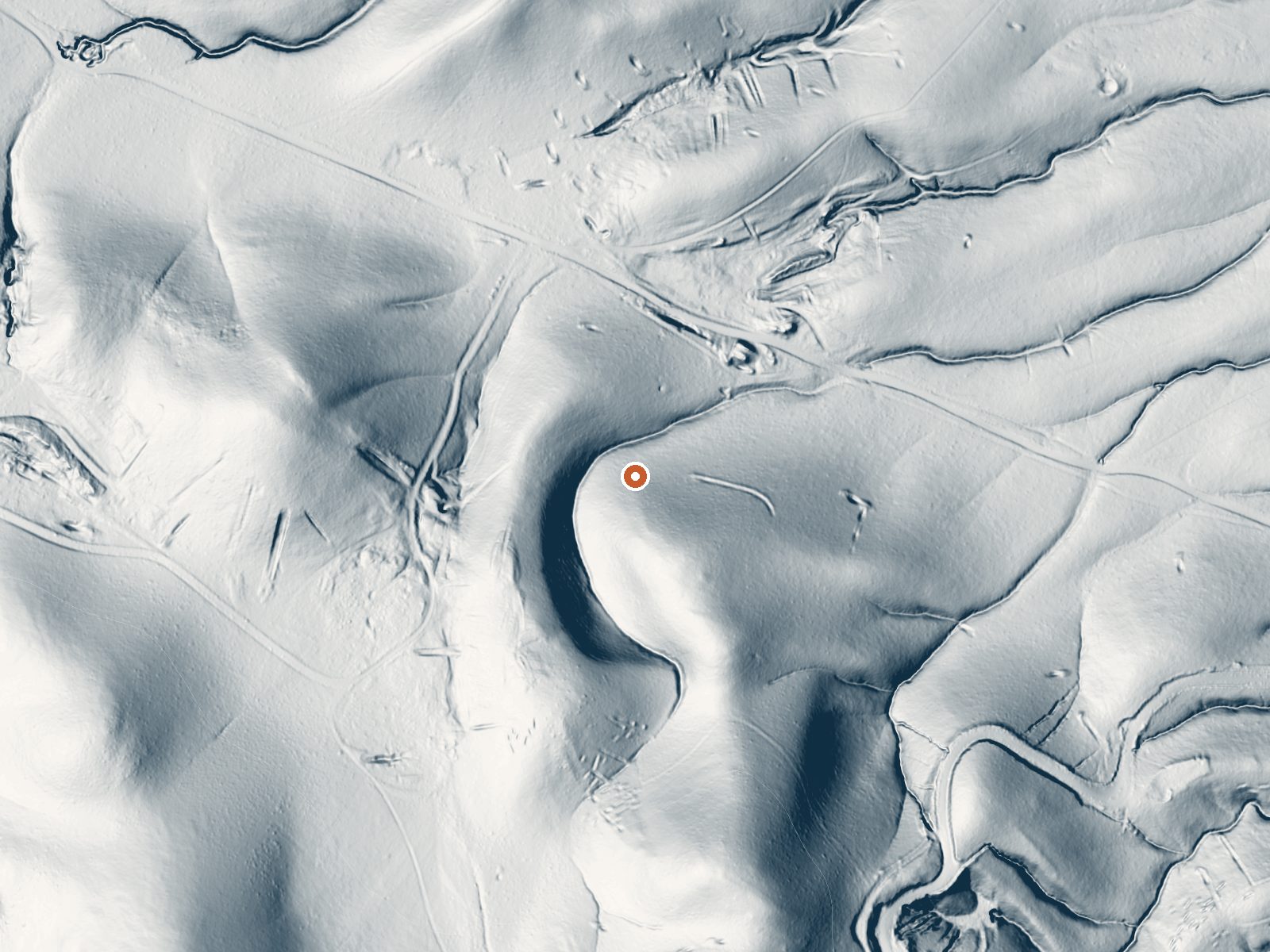
Drag the handle to compare the two views. The orange dot marks the spring, in a frame about three quarters of a mile wide.
An unnamed thermal point near Lost Hills in Kern County, roughly eighteen miles from town. The water reads 93 degrees, about what your own body runs, and that feels good on a cold day. Nobody has recorded who owns the ground or whether the public may visit, so treat this as a dot on a map until you confirm you are allowed there.
It sits low, around eleven hundred feet, where snow does not fall and rain comes to about seven inches a year. From the nearest road it is a short walk, five hundred feet or so. The record names no road and no land manager, and the yearly mean on record is in the high sixties, which says something about summer.
The cooler months are the record's suggestion. Selby Campground is the nearest on file, seventeen or so miles off. Before driving out, find out who owns the land; nothing on record says it is open. No fee noted, no water chemistry. Ninety-three degrees is the sort of water you can sit in for an hour.
Aircraft with laser scanners measured this ground to within inches. The scan strips out trees and buildings, leaving the bare shape of the land around this spring.
- Setting
- Hillside
- The spring sits on a steep slope that climbs to the south.
- Highest ground nearby
- 170 ft above the spring
- Within a quarter mile, to the south
A slice through the ground from south to north, about 0.6 miles end to end.
Elevation data: USGS 3D Elevation Program. Aerial imagery: USGS The National Map. Public domain.
That's close to the US average of 65. It's higher than at 12% of the springs on this site.
Heat flow measures the warmth working its way up through the ground from deep inside the earth. Where it runs high, rain and snowmelt that seep down through cracks in the rock come back up hot.
See every spring on the geothermal heat map →
Heat flow estimate: Stanford Thermal Earth Model (Aljubran & Horne, 2024), CC BY 4.0.
Camping is available on a first come-first serve basis. Thirteen campsites with picnic tables, fire pits, horse corrals and a wheelchair accessible vault toilet. Electricity and drinking water is not available. There is no garbage service, please act responsibly and pack out any refuse you have. This campground is more secluded and the camper is only steps away from unlimited hiking in the Wilderness Study Area that lies outside the campground.
Springs Near This Spring
More Springs Around 93°F
Hike 1 waterfall near this spring
Looking for more outdoor adventures? Explore waterfall hikes near this spring, California.