Collar And Elbow Spring
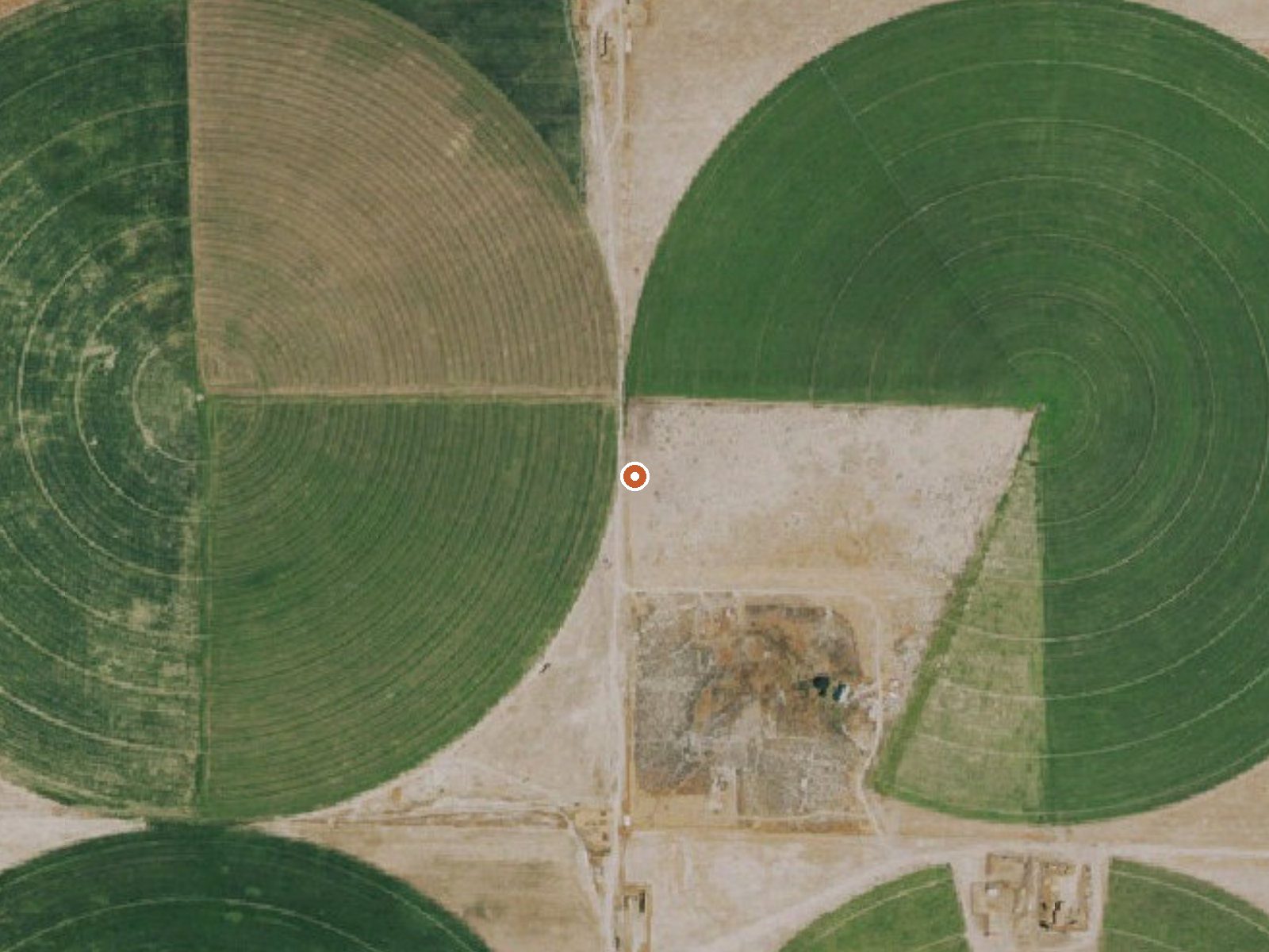
The orange dot marks the spring, in a frame about three quarters of a mile wide.
Collar And Elbow Spring, in White Pine County about forty-eight miles from McGill, comes up at the bottom edge of what counts as soaking warm. It shows up in USGS records as a thermal spring. The record has no landowner and no access status, which leaves its legal side open. The name is the most memorable thing on file and nothing explains it.
Roadside, with sixty-some feet between the spring and a road the record leaves nameless. Close to six thousand feet, high basin country on the eastern side of Nevada. Eleven inches of precipitation a year. Snow comes close to three feet, enough to matter on an unpaved approach. McGill is the town on record, a long drive off.
Winter scores highest of any season here, and with water this mild the cold air is what makes the soak. Ownership is unknown, as is access status, so check before you drive out. The temperature came from the USGS. Nothing on file about fees or camping.
USGS hasn't flown a detailed laser scan here yet, so this view comes from aerial photos and older elevation data.
- Setting
- Open ground
- Flat, open ground all around.
- Highest ground nearby
- 5 ft above the spring
- Within a quarter mile, to the east
A slice through the ground from west to east, about 0.6 miles end to end.
Elevation data: USGS 3D Elevation Program. Aerial imagery: USGS The National Map. Public domain.
That's about 1½ times the US average of 65. It's higher than at 28% of the springs on this site.
Heat flow measures the warmth working its way up through the ground from deep inside the earth. Where it runs high, rain and snowmelt that seep down through cracks in the rock come back up hot.
See every spring on the geothermal heat map →
Heat flow estimate: Stanford Thermal Earth Model (Aljubran & Horne, 2024), CC BY 4.0.
Collar And Elbow Spring sits at 5,900 feet above sea level, way above the mile-high mark. You may not feel the altitude strongly, but hot water still dehydrates you faster at elevation. UV is about 24% stronger than at sea level, so bring sunscreen and drink more water than you normally would.



As an Amazon Associate, we earn from qualifying purchases.