Spring
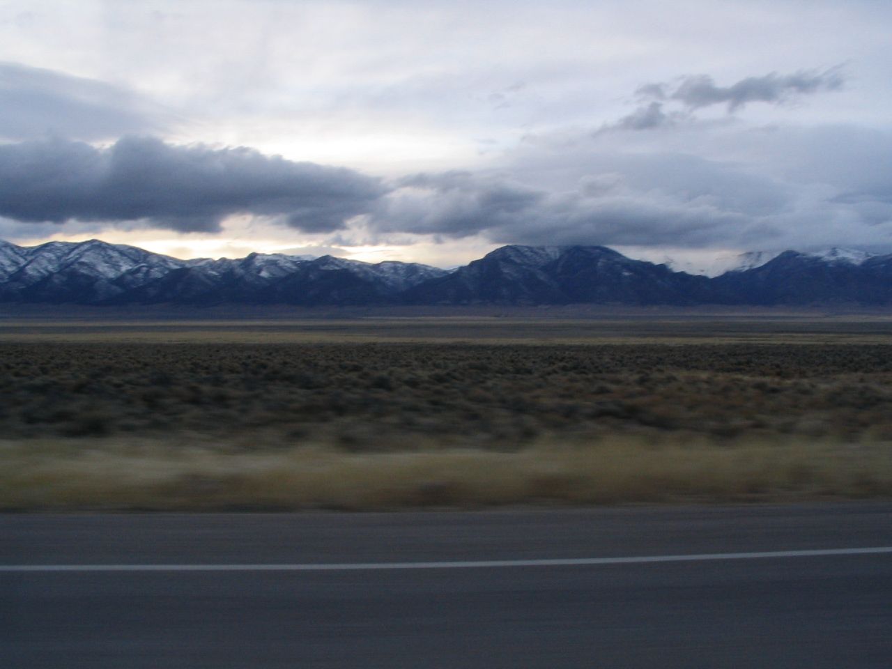
Out in White Pine County, about 36 miles from McGill, this roadside USGS thermal point sits on federal land, Bureau of Land Management, Bristlecone Field Office. Its water is warm the way a summer lake is warm. The public is free to visit. There is no photograph and no alternate name on file, so what you have is a warm source on open ground a long way from town.
This one sits higher than most Nevada springs and the winters show it: snowfall here runs a few feet a year. Open BLM land with no special designation beyond public. The spring is within a stone's throw of the road, about 150 feet, so reaching it takes no effort beyond parking. Yearly precipitation is moderate.
Winter ranks highest on the record even at this elevation, so expect snow on the ground when you come. Roadside access. There is no fee recorded and no campground on file nearby. The reading on file is warm and undated. No water chemistry has been logged, so you will be judging the water yourself.
USGS hasn't flown a detailed laser scan here yet, so this view comes from aerial photos and older elevation data.
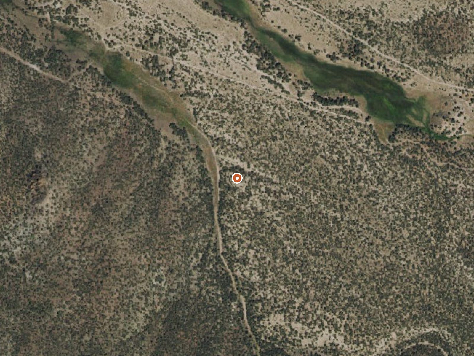
The orange dot marks the spring, in a frame about three quarters of a mile wide.
- Setting
- Valley floor
- Gentle slopes rise on both sides.
- Highest ground nearby
- 150 ft above the spring
- Within a quarter mile, to the southeast
A slice through the ground from northwest to southeast, about 0.6 miles end to end.
Elevation data: USGS 3D Elevation Program. Aerial imagery: USGS The National Map. Public domain.
That's close to the US average of 65. It's higher than at 17% of the springs on this site.
Heat flow measures the warmth working its way up through the ground from deep inside the earth. Where it runs high, rain and snowmelt that seep down through cracks in the rock come back up hot.
See every spring on the geothermal heat map →
Heat flow estimate: Stanford Thermal Earth Model (Aljubran & Horne, 2024), CC BY 4.0.
Some links are affiliate links. We may earn a commission at no extra cost to you.
Spring sits at 6,200 feet above sea level, way above the mile-high mark. You may not feel the altitude strongly, but hot water still dehydrates you faster at elevation. UV is about 25% stronger than at sea level, so bring sunscreen and drink more water than you normally would.



As an Amazon Associate, we earn from qualifying purchases.
Spring is road-accessible, so you can bring more gear.






As an Amazon Associate, we earn from qualifying purchases.