Lower Shellbourne Spring
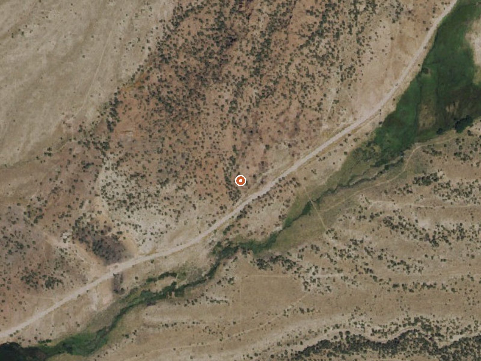
The orange dot marks the spring, in a frame about three quarters of a mile wide.
Lower Shellbourne Spring is a tepid spring at seven thousand feet in White Pine County, twenty-seven miles from McGill, on open BLM land run by the Bristlecone Field Office. Water temperature is high seventies. It is listed by the USGS. East Creek Campground is the nearest camping on record, about twenty miles away.
The nearest road, nameless on file, passes about two hundred feet away. At seven thousand feet the winters are long, with snow totals past three feet, and precipitation runs eleven inches a year. The parcel carries no designation past public land.
On file, the good months are the winter ones, but at this elevation and temperature the water will seem cool with the air below freezing. Access is open with no fee noted. East Creek Campground is twenty miles off. No chemistry is on file. The reading on file is a survey figure and nothing more recent exists.
USGS hasn't flown a detailed laser scan here yet, so this view comes from aerial photos and older elevation data.
- Setting
- Gentle slope
- The ground tilts gently up to the northeast.
- Highest ground nearby
- 151 ft above the spring
- Within a quarter mile, to the northeast
A slice through the ground from southwest to northeast, about 0.6 miles end to end.
Elevation data: USGS 3D Elevation Program. Aerial imagery: USGS The National Map. Public domain.
That's about 1½ times the US average of 65. It's higher than at 29% of the springs on this site.
Heat flow measures the warmth working its way up through the ground from deep inside the earth. Where it runs high, rain and snowmelt that seep down through cracks in the rock come back up hot.
See every spring on the geothermal heat map →
Heat flow estimate: Stanford Thermal Earth Model (Aljubran & Horne, 2024), CC BY 4.0.
Overview Located high on the slopes of the Schell Creek Range in the Duck Creek Basin, sitting in the middle of an alder, pinyon and juniper forest, East Creek Campground offers a wide range of recreation opportunities to the forest visitor. Hiking, mountain biking and off-road vehicle riding are just some of the popular activities enjoyed by visitors to the area. Elevation is 7,400 feet, located approximately 20 miles from Ely, Nevada. Recreation The Ranger Trail can be accessed from thi...
Lower Shellbourne Spring sits at 7,000 feet above sea level, way above the mile-high mark. You may not feel the altitude strongly, but hot water still dehydrates you faster at elevation. UV is about 28% stronger than at sea level, so bring sunscreen and drink more water than you normally would.



As an Amazon Associate, we earn from qualifying purchases.