Mize Spring
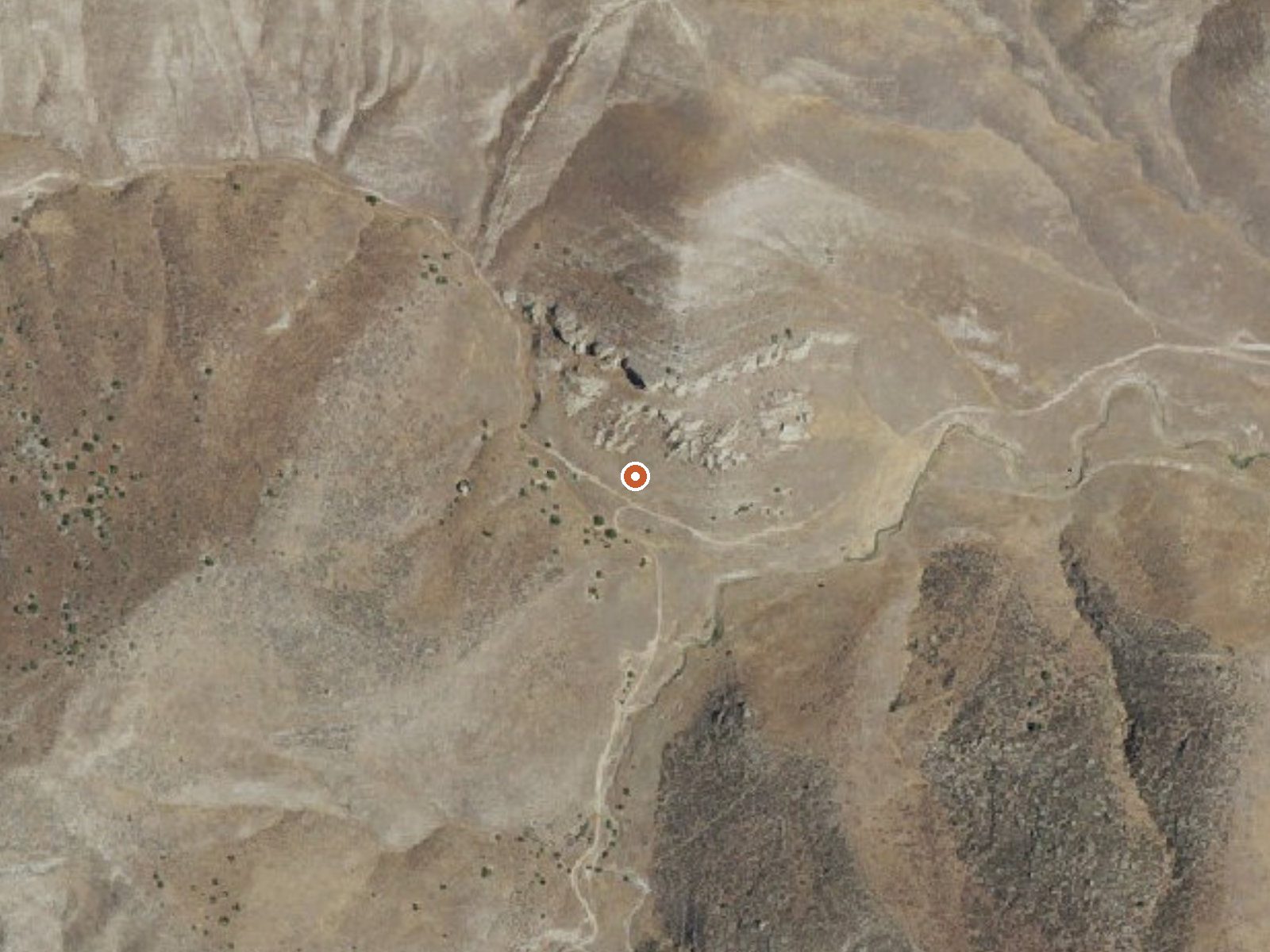
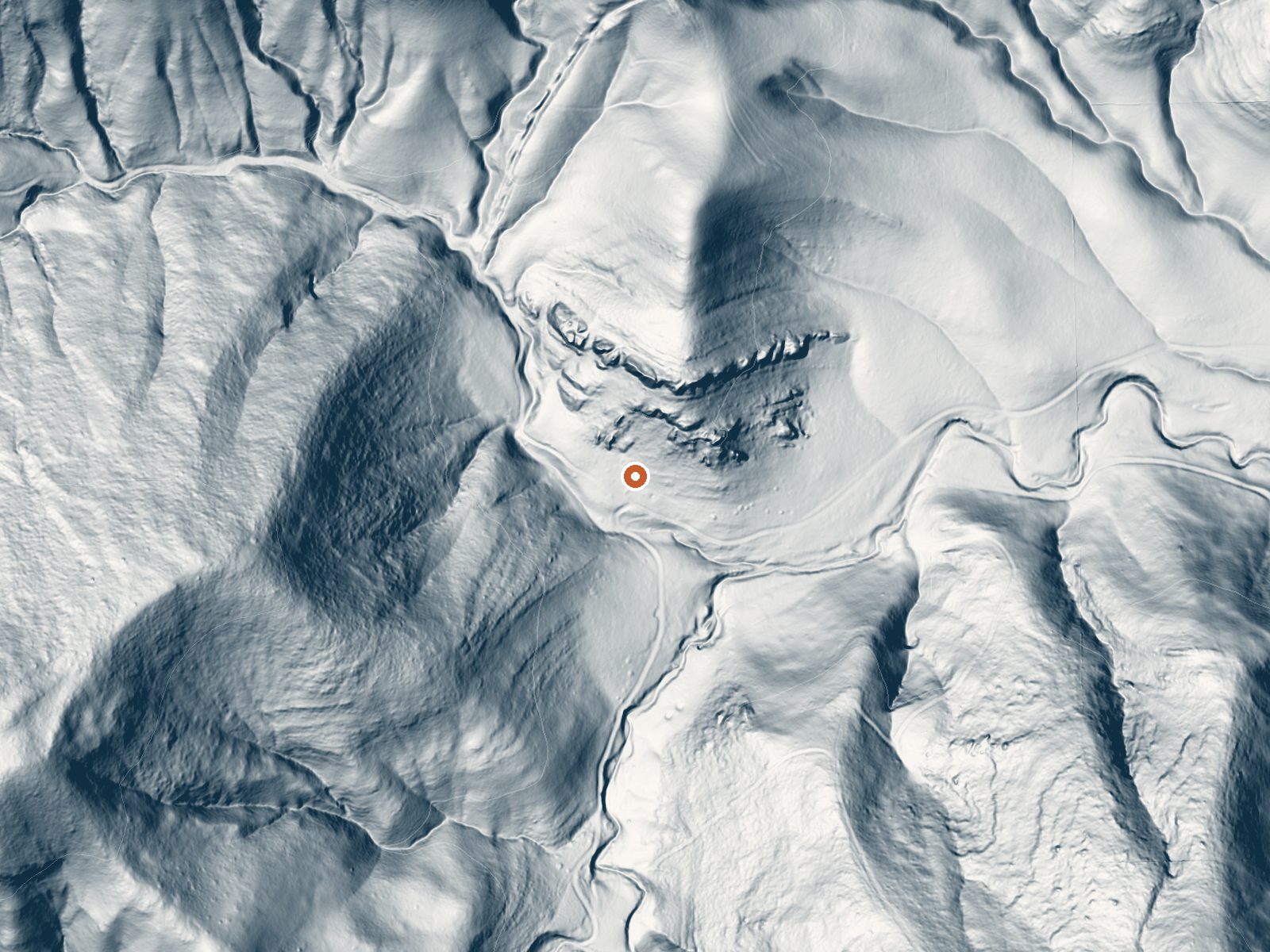
Drag the handle to compare the two views. The orange dot marks the spring, in a frame about three quarters of a mile wide.
Mize Spring is a barely warm seep in the dry hills of western Kern County, a long way from anywhere, with Lost Hills the nearest town at sixteen-odd miles. The reading on file lands in the low seventies, which is cooler than most people's idea of a soak. Nobody has recorded the landowner or the rules for visitors. Treat it as a point on a map until you learn more.
Reaching it means a hike, a bit over a mile from the closest road, and the road itself goes unnamed in the record. The terrain is low, around fifteen hundred feet, in country that gets a few inches of rain annually and no snow. There is no land unit attached. The year is dry throughout.
Best soaking months on record run December to February, the cool season on this side of the valley. La Panza is the closest campground listed and it is over twenty miles away. Ownership is unknown, so check before walking in. The water is tepid. Do not plan a soak around it.
Aircraft with laser scanners measured this ground to within inches. The scan strips out trees and buildings, leaving the bare shape of the land around Mize Spring.
- Setting
- Canyon floor
- Steep ground climbs away on both sides of the spring.
- Highest ground nearby
- 392 ft above the spring
- Within a quarter mile, to the west
A slice through the ground from west to east, about 0.6 miles end to end.
Elevation data: USGS 3D Elevation Program. Aerial imagery: USGS The National Map. Public domain.
That's about 1½ times the US average of 65. It's higher than at 32% of the springs on this site.
Heat flow measures the warmth working its way up through the ground from deep inside the earth. Where it runs high, rain and snowmelt that seep down through cracks in the rock come back up hot.
See every spring on the geothermal heat map →
Heat flow estimate: Stanford Thermal Earth Model (Aljubran & Horne, 2024), CC BY 4.0.
Overview La Panza Campground is full of opportunities to relax or explore the forest. Nearby is Machesna Mountain Wilderness where hiking, hunting and horseback riding are popular. Off-high vehicle (OHV) recreation is also plentiful in the area.Recreation La Panza Campground is best enjoyed by campers who prefer a rugged outdoor experience. The Pozo La Panza 18,867-acre area has approximately 44 miles of routes that vary from sandy washes to a ridgeline route including a section known to expe...