Cameta Warm Spring
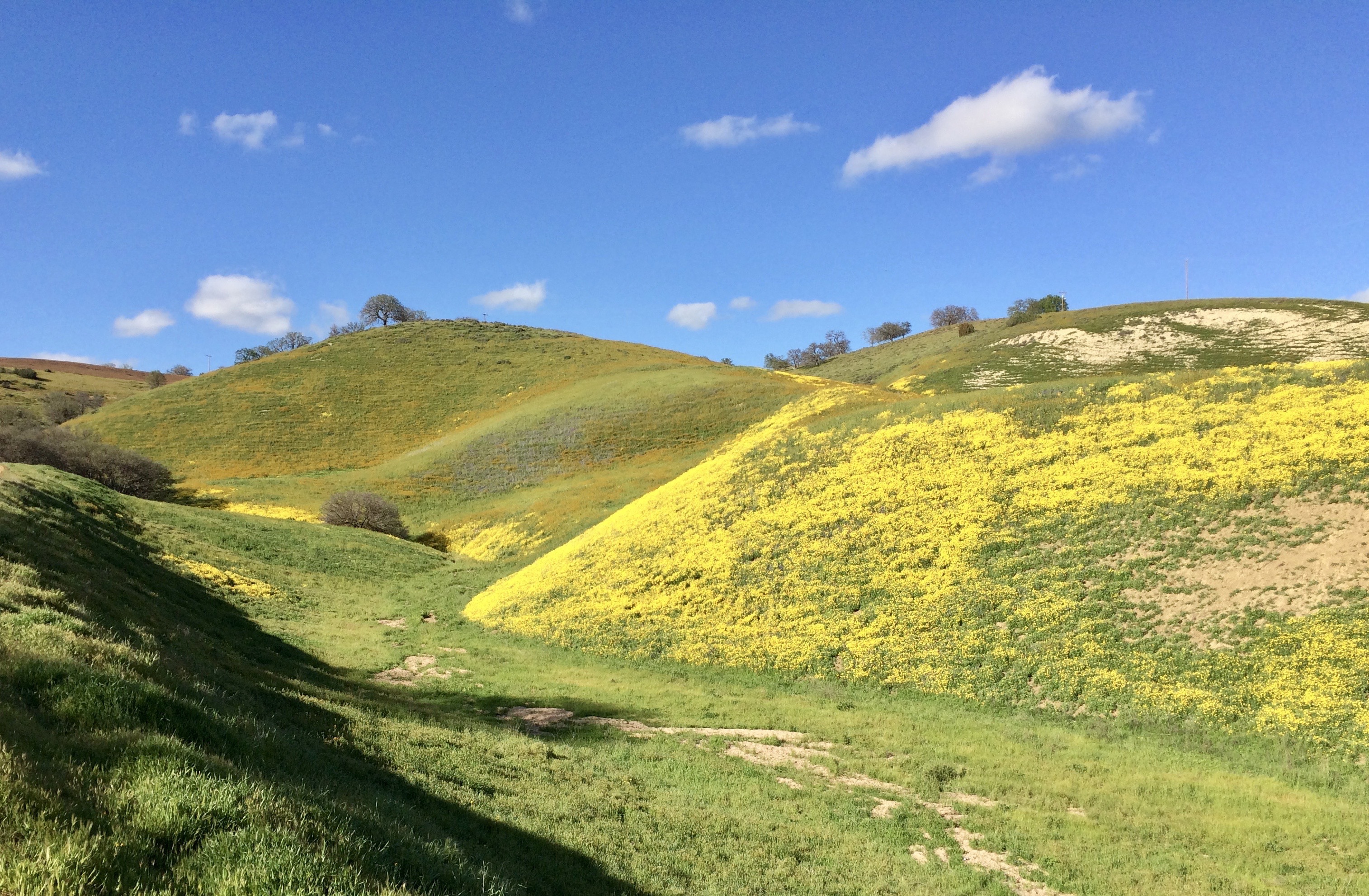
A USGS sampled thermal point in the dry hills of eastern San Luis Obispo County, Cameta Warm Spring lies about nineteen miles from Shandon. Tepid is the word. The water is only a little warmer than a summer creek, so treat it as a curiosity and a data point. The record does not say whether the public may visit.
The spring sits right beside the road, within a few steps of it, in low country. Dry land. Ten inches of rain in an average year and no snow. Nobody's name is attached to the ground in our records. La Panza Campground is a few miles along, the one campground we have for this spot.
Midwinter is the comfortable window. Roadside access, so no walking to speak of. La Panza Campground is about three miles out if you want to stay over. Temperature and chemistry both come from a 1981 USGS sample and may not match what is flowing now. Public access is unrecorded, so look into that first.
Aircraft with laser scanners measured this ground to within inches. The scan strips out trees and buildings, leaving the bare shape of the land around Cameta Warm Spring.
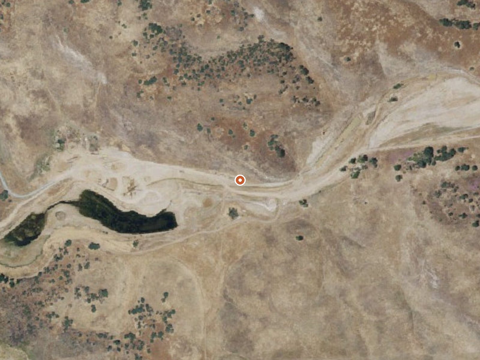
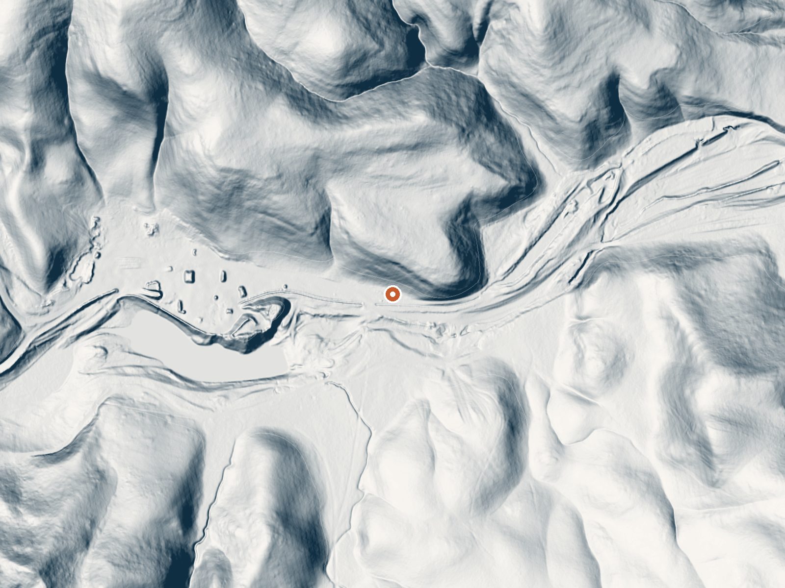
Drag the handle to compare the two views. The orange dot marks the spring, in a frame about three quarters of a mile wide.
- Setting
- Hillside
- The spring sits on a steep slope that climbs to the northwest.
- Highest ground nearby
- 197 ft above the spring
- Within a quarter mile, to the northwest
A slice through the ground from southwest to northeast, about 0.6 miles end to end.
Elevation data: USGS 3D Elevation Program. Aerial imagery: USGS The National Map. Public domain.
That's about 1½ times the US average of 65. It's higher than at 49% of the springs on this site.
Heat flow measures the warmth working its way up through the ground from deep inside the earth. Where it runs high, rain and snowmelt that seep down through cracks in the rock come back up hot.
See every spring on the geothermal heat map →
Heat flow estimate: Stanford Thermal Earth Model (Aljubran & Horne, 2024), CC BY 4.0.
The water at Cameta Warm Spring is neutral (pH 6.8). It is notably rich in magnesium (known for muscle relaxation and stress relief).
Some links are affiliate links. We may earn a commission at no extra cost to you.
Overview La Panza Campground is full of opportunities to relax or explore the forest. Nearby is Machesna Mountain Wilderness where hiking, hunting and horseback riding are popular. Off-high vehicle (OHV) recreation is also plentiful in the area.Recreation La Panza Campground is best enjoyed by campers who prefer a rugged outdoor experience. The Pozo La Panza 18,867-acre area has approximately 44 miles of routes that vary from sandy washes to a ridgeline route including a section known to expe...
Cameta Warm Spring is road-accessible, so you can bring more gear.




As an Amazon Associate, we earn from qualifying purchases.
Springs Near Cameta Warm Spring
More Springs Around 73°F
Neutral Springs (pH ~6.8)
Hike 1 waterfall near Cameta Warm Spring
Looking for more outdoor adventures? Explore waterfall hikes near Cameta Warm Spring, California.