Warm Spring, Hot Spring
Warm Spring, Hot Spring, is the USGS label for a hot spring in San Bernardino National Forest about six miles from Lake Arrowhead. The water is at the top of the soaking range, near bath-hot. Forest Service land, listed open, about a thousand feet off forest roads 3N67 and 3N59. Water chemistry on file from 1992.
Mountains at roughly 3,500 feet, dry, with light snow. The nearest roads are the forest routes 3N67/3N59. National Forest land. The 1992 sample showed mildly alkaline water that runs low in dissolved solids; sodium and sulfate show up in the listed constituents. North Shore campground is about five miles away.
On paper the best time is winter, and snow is light. Short walk. Camp at North Shore. No fee recorded. Test the water first; it runs hot. The chemistry is over thirty years old.
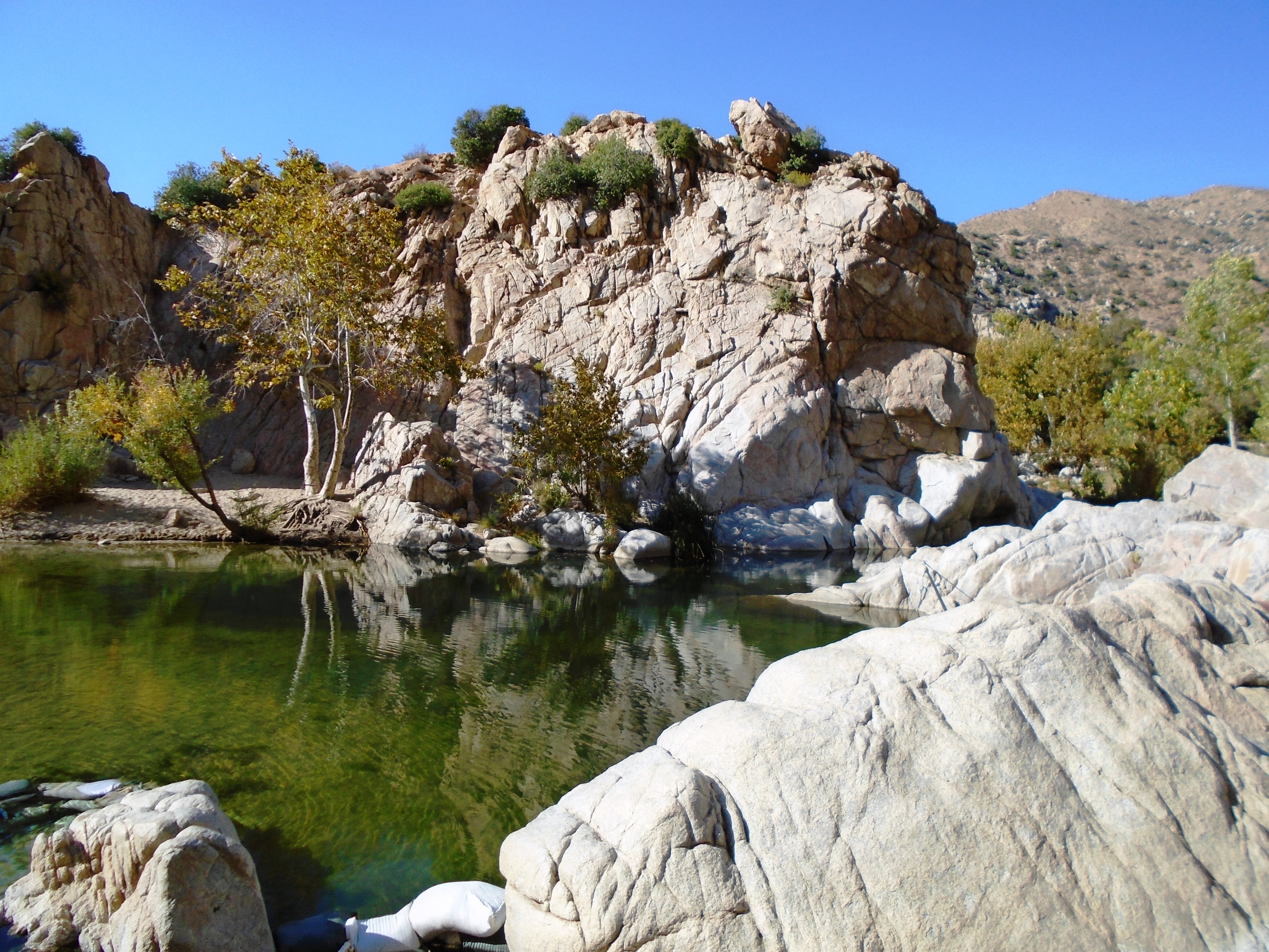
The Wikipedia article attached to this record is for Deep Creek Hot Springs, which it places in the northern Mojave Desert section of the San Bernardino National Forest near Hesperia. the record here does not confirm this point is the same spring. A USGS sample dates from July 1992.
Aircraft with laser scanners measured this ground to within inches. The scan strips out trees and buildings, leaving the bare shape of the land around Warm Spring, Hot Spring.
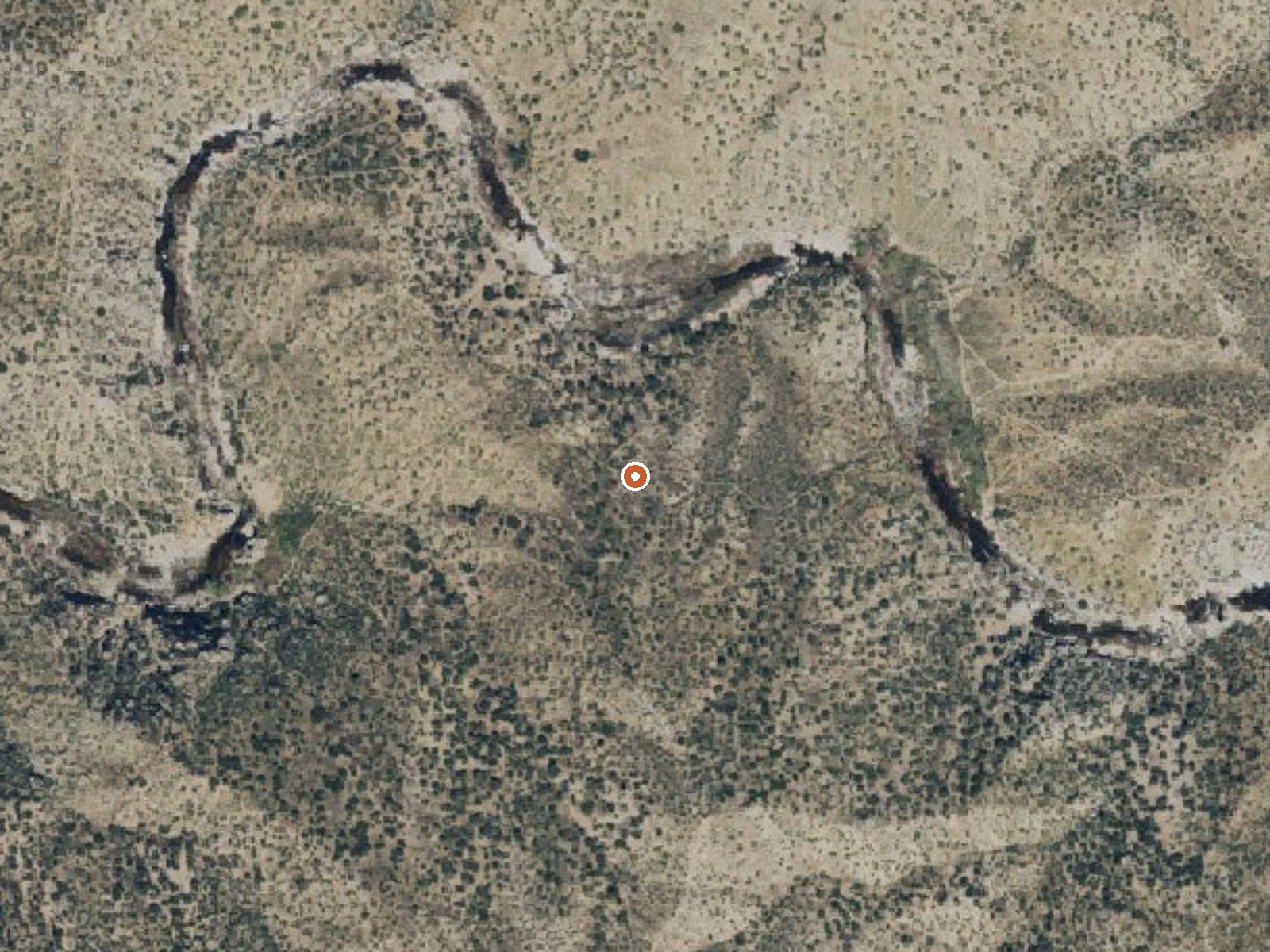
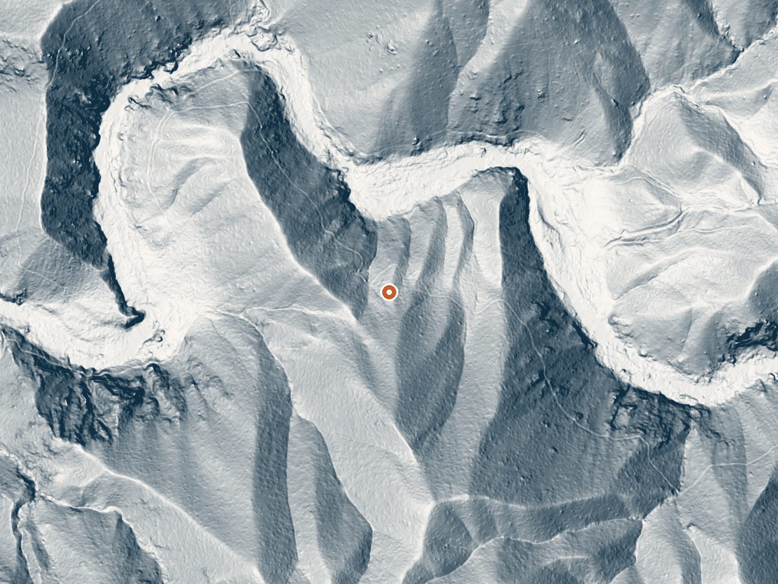
Drag the handle to compare the two views. The orange dot marks the spring, in a frame about three quarters of a mile wide.
- Setting
- Hillside
- The spring sits on a steep slope that climbs to the south.
- Highest ground nearby
- 447 ft above the spring
- Within a quarter mile, to the south
A slice through the ground from north to south, about 0.6 miles end to end.
Elevation data: USGS 3D Elevation Program. Aerial imagery: USGS The National Map. Public domain.
That's close to the US average of 65. It's higher than at 11% of the springs on this site.
Heat flow measures the warmth working its way up through the ground from deep inside the earth. Where it runs high, rain and snowmelt that seep down through cracks in the rock come back up hot.
See every spring on the geothermal heat map →
Heat flow estimate: Stanford Thermal Earth Model (Aljubran & Horne, 2024), CC BY 4.0.
The water at Warm Spring, Hot Spring is slightly alkaline (pH 8.2) with 352 mg/L total dissolved solids.
Some links are affiliate links. We may earn a commission at no extra cost to you.
Overview North Shore Campground is a quiet place to camp, away from the hustle and bustle of nearby cities. The campground is nestled among Southern California's pine-covered mountains, providing ample opportunity for outdoor relaxation and recreation.Recreation The North Shore National Recreation Trail connects the campground with Papoose Lake (trail is not accessible). The 1.7-mile trail descends through a mixed conifer forest and settles along Little Bear Creek, providing scenic views of t...
Warm Spring, Hot Spring is road-accessible, so you can bring more gear.




As an Amazon Associate, we earn from qualifying purchases.
Springs Near Warm Spring, Hot Spring
More Springs Around 108°F
Slightly Alkaline Springs (pH ~8.2)
Hike 6 waterfalls near Warm Spring, Hot Spring
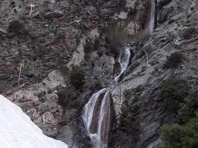
Looking for more outdoor adventures? Explore waterfall hikes near Warm Spring, Hot Spring, California.