Eldorado Springs
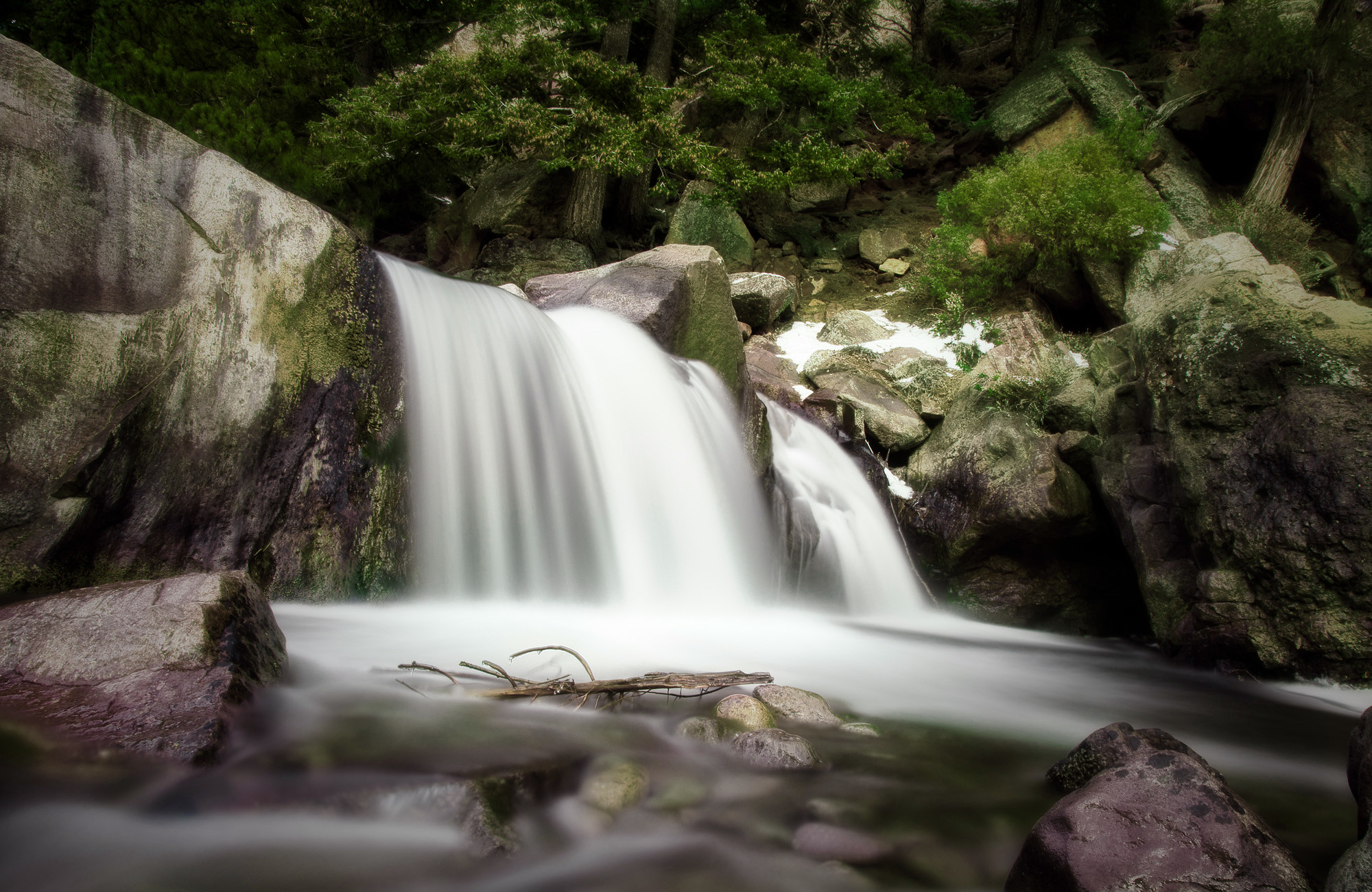
A warm spring in Boulder County, six or seven miles out from Boulder. Tepid is the honest word for it, something you notice with a hand and little else. The USGS lists it among thermal sites, and a chemistry sample from 1976 came back low in dissolved solids. No one has put an owner to the ground, and nothing says whether the public can reach it.
Chesebro Way runs within a few steps of the spring, so the approach is roadside. Elevation is foothills height. Winters here bring real snow, around five feet in a typical season, and the rest of the year leans dry. No land owner appears in the record, and no designation either, which leaves the question of who controls the spring open.
The calendar favors December through February, when the contrast with cold air is sharpest. Reaching it is easy, yet public access is unrecorded, so check ownership before you go. Kelly Dahl is the campground on file, roughly a dozen miles away. The mineral reading dates to 1976 and should be treated as a snapshot.
Aircraft with laser scanners measured this ground to within inches. The scan strips out trees and buildings, leaving the bare shape of the land around Eldorado Springs.
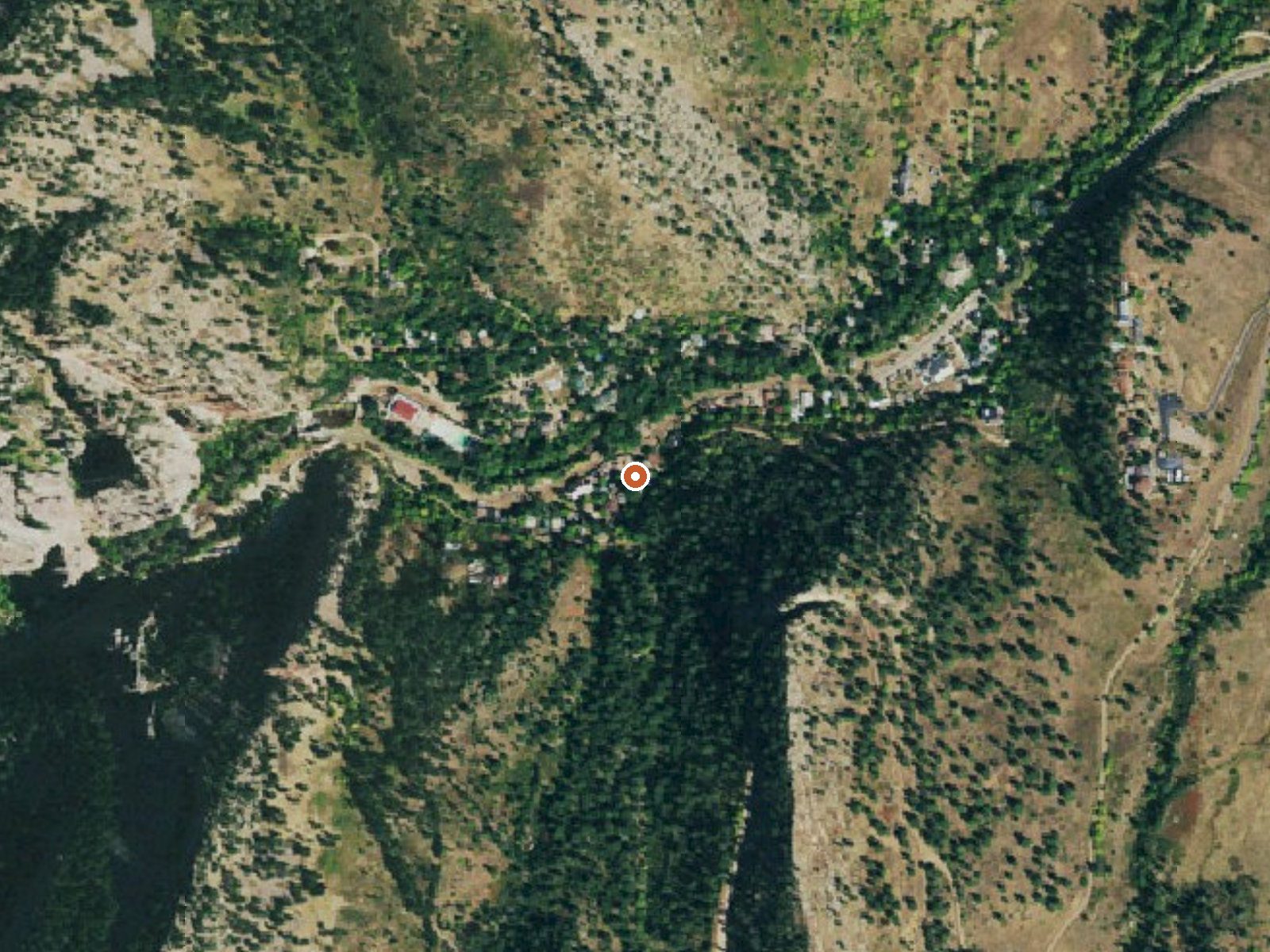
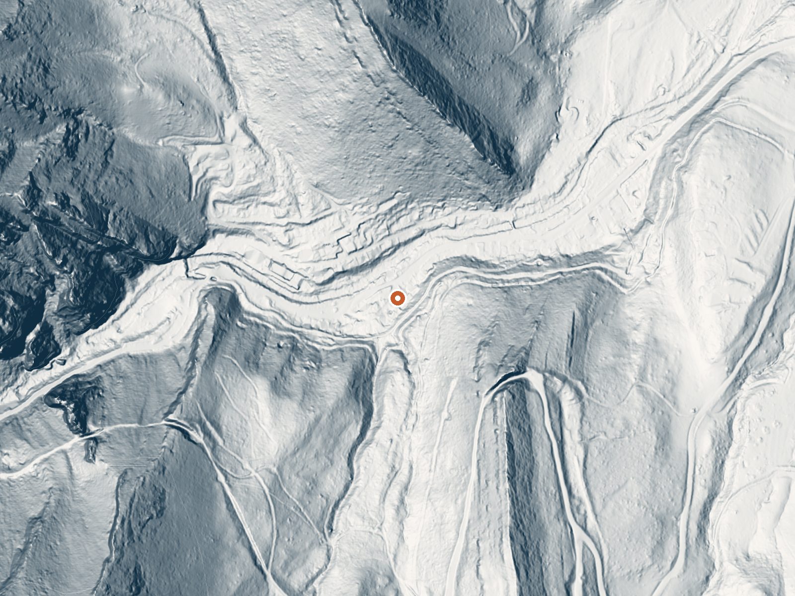
Drag the handle to compare the two views. The orange dot marks the spring, in a frame about three quarters of a mile wide.
- Setting
- Canyon floor
- Steep ground climbs away on both sides of the spring.
- Highest ground nearby
- 447 ft above the spring
- Within a quarter mile, to the north
A slice through the ground from south to north, about 0.6 miles end to end.
Elevation data: USGS 3D Elevation Program. Aerial imagery: USGS The National Map. Public domain.
That's about twice the US average of 65. It's higher than at 65% of the springs on this site.
Heat flow measures the warmth working its way up through the ground from deep inside the earth. Where it runs high, rain and snowmelt that seep down through cracks in the rock come back up hot.
See every spring on the geothermal heat map →
Heat flow estimate: Stanford Thermal Earth Model (Aljubran & Horne, 2024), CC BY 4.0.
The water at Eldorado Springs contains 130 mg/L total dissolved solids.
Some links are affiliate links. We may earn a commission at no extra cost to you.
Overview Kelly Dahl Campground is located adjacent to the Peak-to-Peak Scenic Byway, near the historic mining towns of Nederland, Rollinsville, Central City and Black Hawk.Recreation Although no formal trails exist in the campground, a few closed roads offer campers the opportunity to explore the surrounding area. West Magnolia and East Portal Trailheads offer trails within a short drive. The Rollins Pass Road (Moffat Road) and other off-road routes can be found in the vicinity. The lakes ac...
Eldorado Springs sits at 5,758 feet above sea level, way above the mile-high mark. You may not feel the altitude strongly, but hot water still dehydrates you faster at elevation. UV is about 23% stronger than at sea level, so bring sunscreen and drink more water than you normally would.



As an Amazon Associate, we earn from qualifying purchases.
Eldorado Springs is road-accessible, so you can bring more gear.






As an Amazon Associate, we earn from qualifying purchases.
Springs Near Eldorado Springs
More Springs Around 79°F
Hike 6 waterfalls near Eldorado Springs
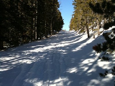
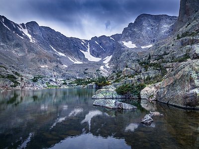
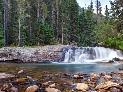
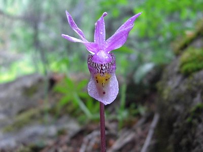
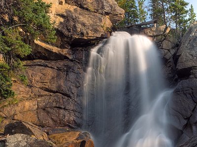
Looking for more outdoor adventures? Explore waterfall hikes near Eldorado Springs, Colorado.