Rhodes Warm Spring
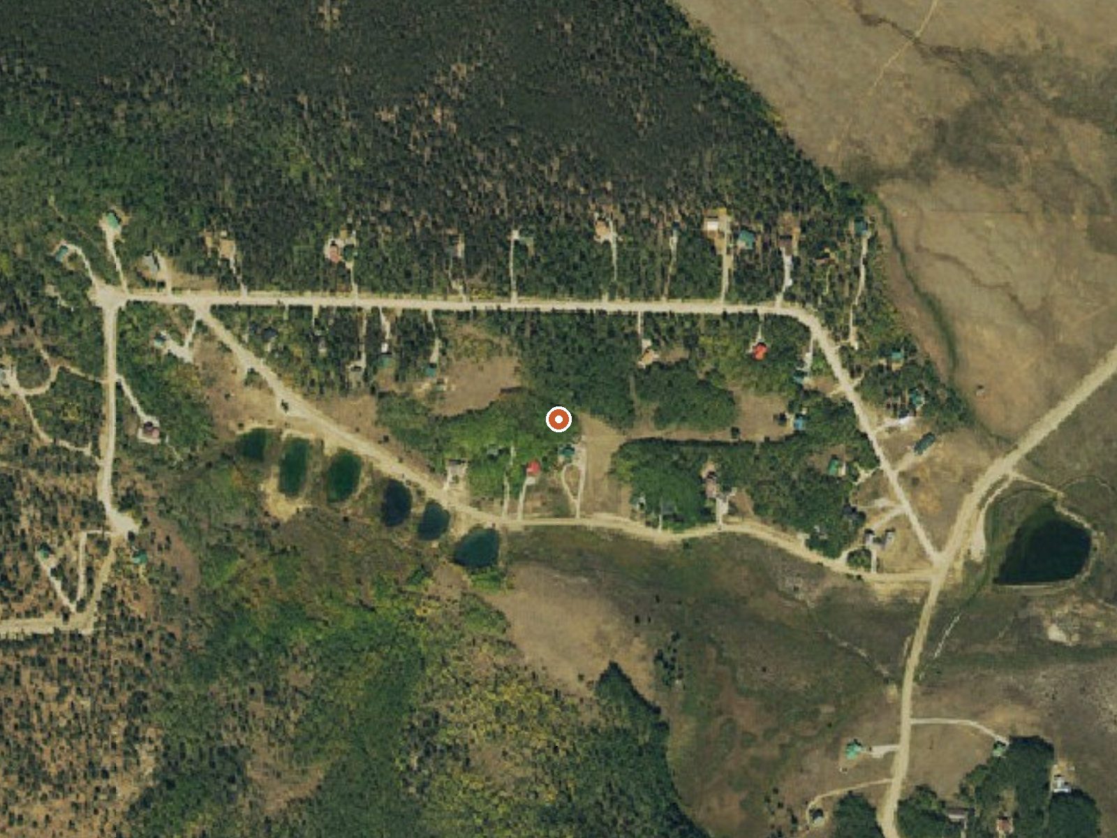
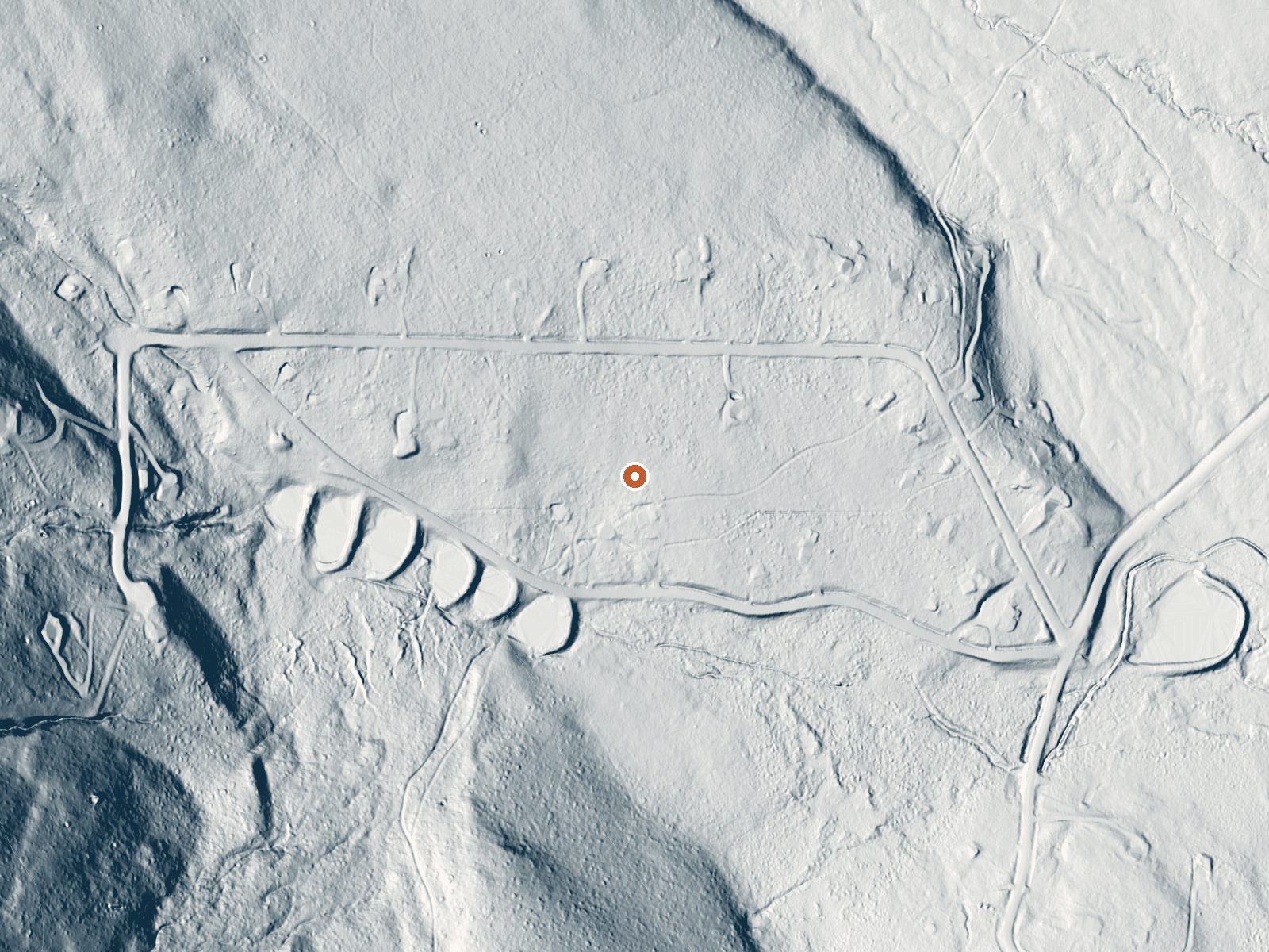
Drag the handle to compare the two views. The orange dot marks the spring, in a frame about three quarters of a mile wide.
Rhodes Warm Spring sits above ten thousand feet in Park County, off Warm Springs Road. Fairplay is five and a half miles off, the nearest town and a close one. The water is only mildly warm. The 1976 sample is near neutral. Ownership and public access are not in the record.
Warm Springs Road is a few hundred feet away; a short walk. This is very high ground, and the average temperature for the year is around freezing, with close to seven feet of snow. Precipitation is moderate. Horseshoe campground is about three miles away, the nearest camp given. Land unit: none given.
Midwinter is the season given. With the yearly average around freezing and that much snow, the approach in winter is a snow approach. Access is unrecorded. Horseshoe campground, three miles. The temperature is too low to count as a warm soak. Chemistry comes from a single July 1976 sample.
Aircraft with laser scanners measured this ground to within inches. The scan strips out trees and buildings, leaving the bare shape of the land around Rhodes Warm Spring.
- Setting
- Gentle slope
- The ground tilts gently up to the northwest.
- Highest ground nearby
- 122 ft above the spring
- Within a quarter mile, to the northwest
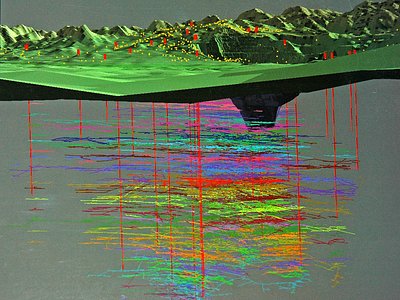
A slice through the ground from northwest to southeast, about 0.6 miles end to end.
Elevation data: USGS 3D Elevation Program. Aerial imagery: USGS The National Map. Public domain.
That's about 2½ times the US average of 65. It's higher than at 97% of the springs on this site.
Heat flow measures the warmth working its way up through the ground from deep inside the earth. Where it runs high, rain and snowmelt that seep down through cracks in the rock come back up hot.
See every spring on the geothermal heat map →
Heat flow estimate: Stanford Thermal Earth Model (Aljubran & Horne, 2024), CC BY 4.0.
The water at Rhodes Warm Spring is slightly alkaline (pH 7.5).
Overview Horseshoe Campground sits along its namesake creek near a grassy meadow among aspen, Engelmann spruce and Bristlecone pines in the San Isabel National Forest. Trees provide good privacy between campsites, which are located at the base of Sheep Mountain. Recreation Visitors enjoy the Limber Grove Trail, a 3-mile mountainside path that winds through 1,000-year-old limber pine with gigantic twisted trunks. Fishing or wading in Horseshoe Creek are also popular pastimes. Facilities The ca...
Rhodes Warm Spring sits at 10,172 feet, well above 10,000 ft, where the air holds roughly 30% less oxygen than at sea level. Altitude sickness (headache, nausea, dizziness) is a real risk, especially when combined with the dehydrating effects of hot water. UV exposure is approximately 41% stronger than at sea level. Acclimate for at least 24 hours before soaking, drink extra water, and descend if symptoms worsen.




As an Amazon Associate, we earn from qualifying purchases.
Springs Near Rhodes Warm Spring
More Springs Around 75°F
Slightly Alkaline Springs (pH ~7.5)
Hike 6 waterfalls near Rhodes Warm Spring
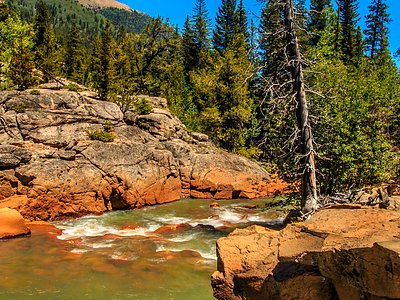
Looking for more outdoor adventures? Explore waterfall hikes near Rhodes Warm Spring, Colorado.