Hartsel Hot Springs

Hartsel Hot Springs comes out hot, in the range where you would want to mix it with cooler water before sitting in it. The site is in Park County, eighteen miles from Fairplay. The USGS keeps a chemistry record from 1976 and OpenStreetMap marks the point under the same name. Public access goes unrecorded, as does ownership.
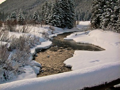
Roughly five hundred feet separate the spring from the closest road, which the record files as a short walk. The elevation is close to nine thousand feet. This is a dry, high basin with modest snow for Colorado and not much rain. The record names no land unit and no road.
Winter months rank best in the record. Water this hot can burn; test before you touch. Happy Meadows campground is the nearest on file at about ten miles. The pH reading is slightly acidic and dates to 1976. Since land ownership and access are both blank, assume nothing about your right to be there until you have checked.
Aircraft with laser scanners measured this ground to within inches. The scan strips out trees and buildings, leaving the bare shape of the land around Hartsel Hot Springs.
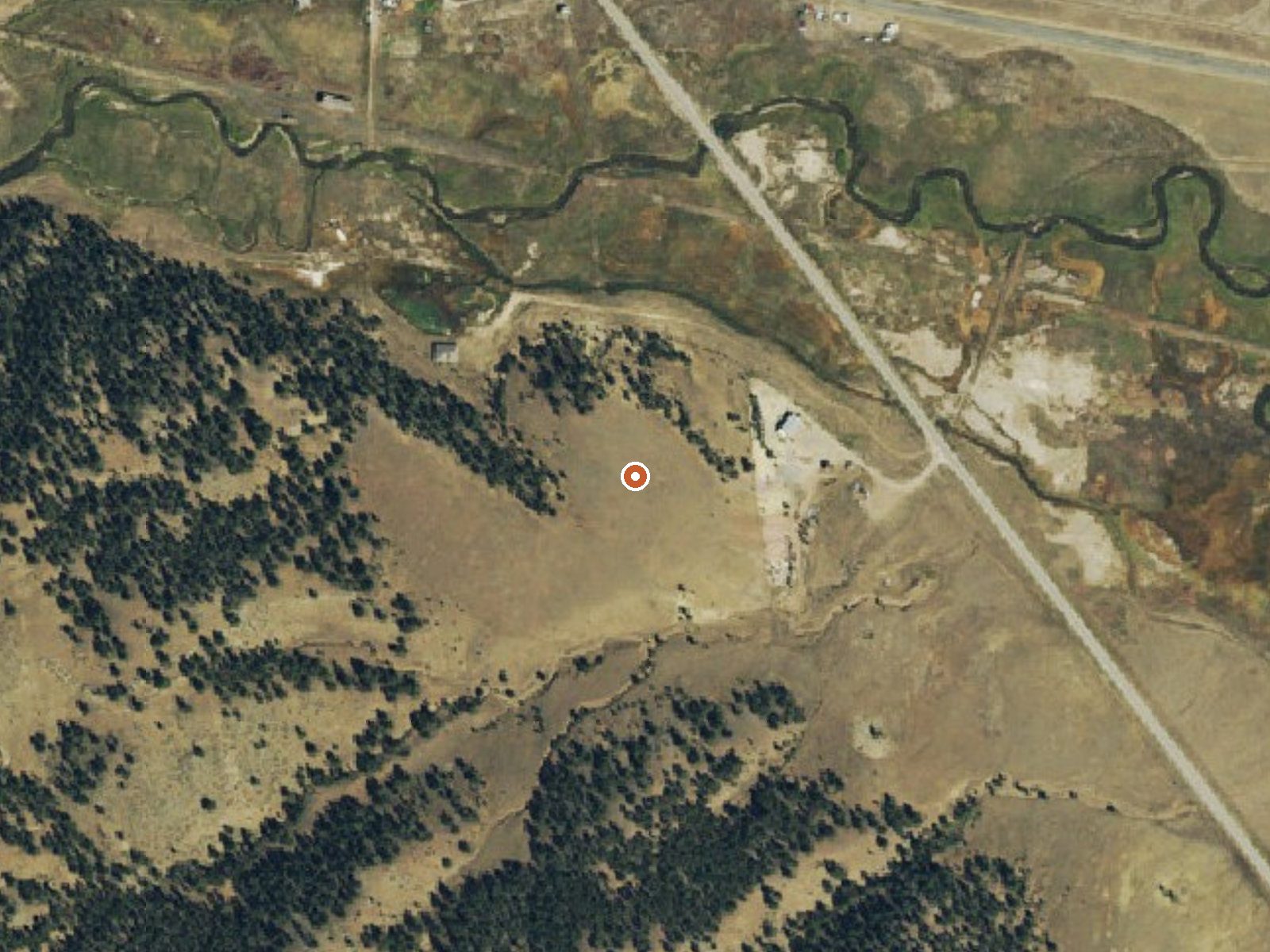
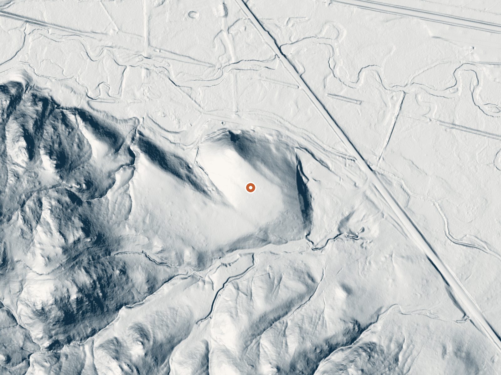
Drag the handle to compare the two views. The orange dot marks the spring, in a frame about three quarters of a mile wide.
- Setting
- Gentle slope
- The ground tilts gently up to the west.
- Highest ground nearby
- 106 ft above the spring
- Within a quarter mile, to the west
A slice through the ground from west to east, about 0.6 miles end to end.
Elevation data: USGS 3D Elevation Program. Aerial imagery: USGS The National Map. Public domain.
That's about 2½ times the US average of 65. It's higher than at 96% of the springs on this site.
Heat flow measures the warmth working its way up through the ground from deep inside the earth. Where it runs high, rain and snowmelt that seep down through cracks in the rock come back up hot.
See every spring on the geothermal heat map →
Heat flow estimate: Stanford Thermal Earth Model (Aljubran & Horne, 2024), CC BY 4.0.
The water at Hartsel Hot Springs is slightly acidic (pH 6.6). It is notably rich in calcium (may support bone density and joint health), sodium (supports circulation and skin hydration), and sulfate (traditionally used for skin conditions and inflammation).
Some links are affiliate links. We may earn a commission at no extra cost to you.
Overview Happy Meadows Campground is situated along the South Platte River near the Eleven Mile Reservoir and Eleven Mile Canyon. Excellent fishing, tubing, and hiking await visitors. Eleven Mile Canyon is rich in natural resources and historic significance. Originally called Granite Canyon, the towering gray walls rise 500 feet above the river.Recreation World-class trout fishing is a major attraction on the South Platte. Visitors can also venture to Florissant Fossil Beds to view fossils...
At 8,954 feet, Hartsel Hot Springs is in high-altitude territory where the air is noticeably thinner. Soaking in hot water accelerates dehydration and can amplify altitude effects like headache and fatigue. UV radiation is roughly 36% stronger here. Wear sunscreen even on overcast days and take breaks from the water to rehydrate.



As an Amazon Associate, we earn from qualifying purchases.
Hartsel Hot Springs is road-accessible, so you can bring more gear. The water runs hot, so extra hydration is key. Cold air temperatures make a changing robe or warm layers essential.





As an Amazon Associate, we earn from qualifying purchases.
Springs Near Hartsel Hot Springs
More Springs Around 126°F
Slightly Acidic Springs (pH ~6.6)
Hike 6 waterfalls near Hartsel Hot Springs
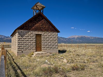
Looking for more outdoor adventures? Explore waterfall hikes near Hartsel Hot Springs, Colorado.