Steamboat Springs

Steamboat Springs, the spring, sits a few hundred yards from the town of the same name, beside Fish Creek Falls Road in Routt County. Water comes out at soaking warmth, right around a hot bath. Neither landowner nor access status appears on file. OpenStreetMap carries no separate name and no fee for it.
Roadside, about thirty feet from Fish Creek Falls Road. The elevation is a bit under 6,800 feet. The snow total on file is a little over nine feet. Yearly precipitation is moderate. For camping the record gives Dry Lake Campground, a little over four miles off.
December through February come out as the better months. There is no walk. Temperature sits in comfortable range and needs no warning attached. The pH is slightly alkaline going by a 1978 sample, with iron showing up alongside the usual major ions. Town is close, so find out who controls this ground before you treat it as a public soak.
USGS hasn't flown a detailed laser scan here yet, so this view comes from aerial photos and older elevation data.
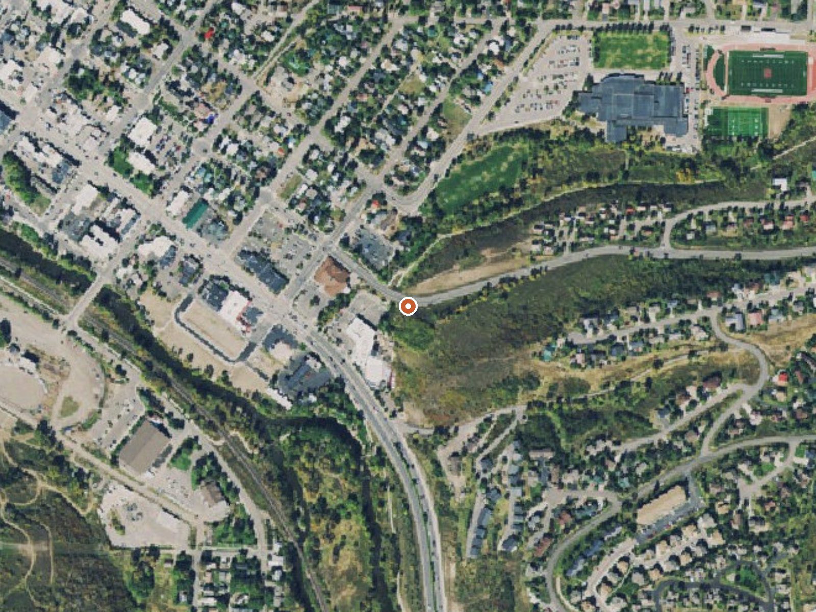
The orange dot marks the spring, in a frame about three quarters of a mile wide.
- Setting
- Hillside
- The spring sits on a steep slope that climbs to the southeast.
- Highest ground nearby
- 150 ft above the spring
- Within a quarter mile, to the southeast
A slice through the ground from northwest to southeast, about 0.6 miles end to end.
Elevation data: USGS 3D Elevation Program. Aerial imagery: USGS The National Map. Public domain.
That's about twice the US average of 65. It's higher than at 69% of the springs on this site.
Heat flow measures the warmth working its way up through the ground from deep inside the earth. Where it runs high, rain and snowmelt that seep down through cracks in the rock come back up hot.
See every spring on the geothermal heat map →
Heat flow estimate: Stanford Thermal Earth Model (Aljubran & Horne, 2024), CC BY 4.0.
The water at Steamboat Springs is slightly alkaline (pH 8.0). It is notably rich in sodium (supports circulation and skin hydration) and chloride (natural antiseptic with skin health benefits).
Some links are affiliate links. We may earn a commission at no extra cost to you.
Overview Dry Lake Trailhead is located off County Road 60 (Buffalo Pass Road) and is near the Dry Lake Campground. This trailhead provides access to both non-motorized and motorized trails. Access for dirt bikes and other recreational vehicles on Buffalo Pass Road. This is a very high-use year-round trailhead and a gateway to exploring the aspens, sub-alpine firs, and wildflowers of the mountains of the Park Range. A vault toilet is provided at the Trailhead. Dry Lake Trailhead is managed by...
Steamboat Springs sits at 6,757 feet above sea level, way above the mile-high mark. You may not feel the altitude strongly, but hot water still dehydrates you faster at elevation. UV is about 27% stronger than at sea level, so bring sunscreen and drink more water than you normally would.



As an Amazon Associate, we earn from qualifying purchases.
Steamboat Springs is road-accessible, so you can bring more gear. Cold air temperatures make a changing robe or warm layers essential.






As an Amazon Associate, we earn from qualifying purchases.
Springs Near Steamboat Springs
More Springs Around 102°F
Slightly Alkaline Springs (pH ~8.0)
Hike 4 waterfalls near Steamboat Springs
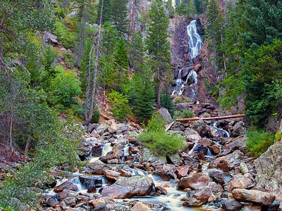
Looking for more outdoor adventures? Explore waterfall hikes near Steamboat Springs, Colorado.