Thundering Spring
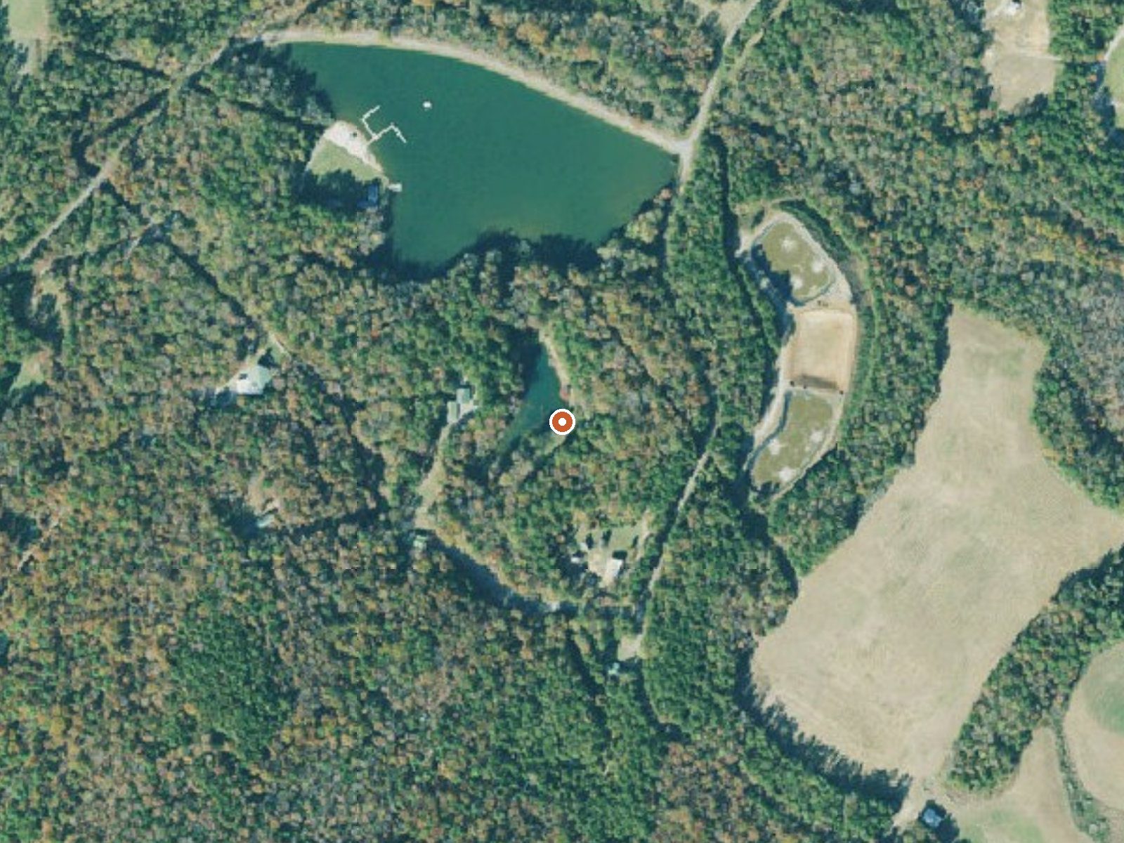
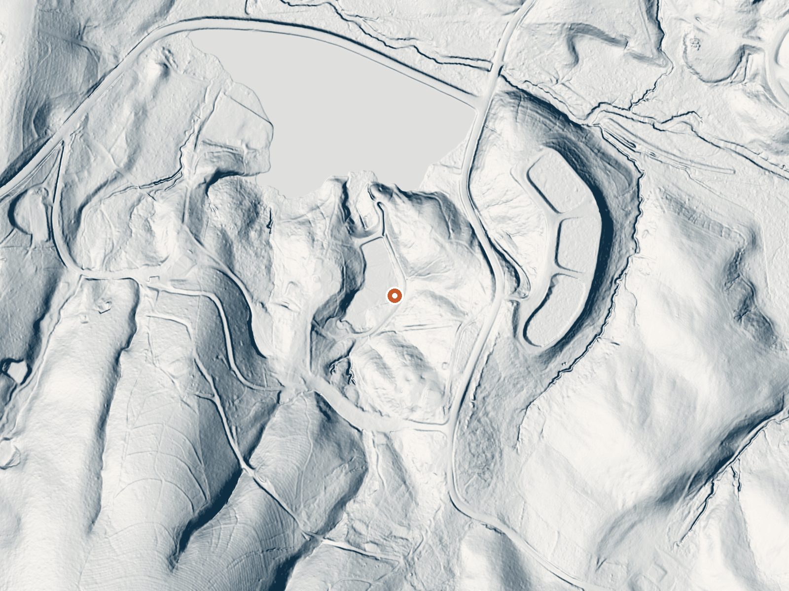
Drag the handle to compare the two views. The orange dot marks the spring, in a frame about three quarters of a mile wide.
Upson County, Georgia, holds Thundering Spring, nine or ten miles from Hannahs Mill. The name promises more than the temperature delivers. Water on file is mid seventies, warm in the way a lake is warm in June. It lies a few hundred feet off the nearest road, a short walk. Ownership and public access do not appear in the record.
Under seven hundred feet, mild average temperatures, a wet year, an inch of snow if that. Reaching it means a few hundred feet on foot from the road, across land whose owner goes unnamed. There is a USGS site number and nothing else official attached, no land unit, no water sample.
Cool season first, December through February. Camping and fees are both blank in the record. The nearest road is unnamed and access status is unknown. Nobody needs a safety warning for water in the seventies, though a temperature this low means a dip at most.
Aircraft with laser scanners measured this ground to within inches. The scan strips out trees and buildings, leaving the bare shape of the land around Thundering Spring.
- Setting
- Valley floor
- Gentle slopes rise on both sides.
- Highest ground nearby
- 166 ft above the spring
- Within a quarter mile, to the southwest
A slice through the ground from north to south, about 0.6 miles end to end.
Elevation data: USGS 3D Elevation Program. Aerial imagery: USGS The National Map. Public domain.
That's close to the US average of 65. It's higher than at 0% of the springs on this site.
Heat flow measures the warmth working its way up through the ground from deep inside the earth. Where it runs high, rain and snowmelt that seep down through cracks in the rock come back up hot.
See every spring on the geothermal heat map →
Heat flow estimate: Stanford Thermal Earth Model (Aljubran & Horne, 2024), CC BY 4.0.
Springs Near Thundering Spring
More Springs Around 75°F
Hike 1 waterfall near Thundering Spring
Looking for more outdoor adventures? Explore waterfall hikes near Thundering Spring, Georgia.