Warm Springs
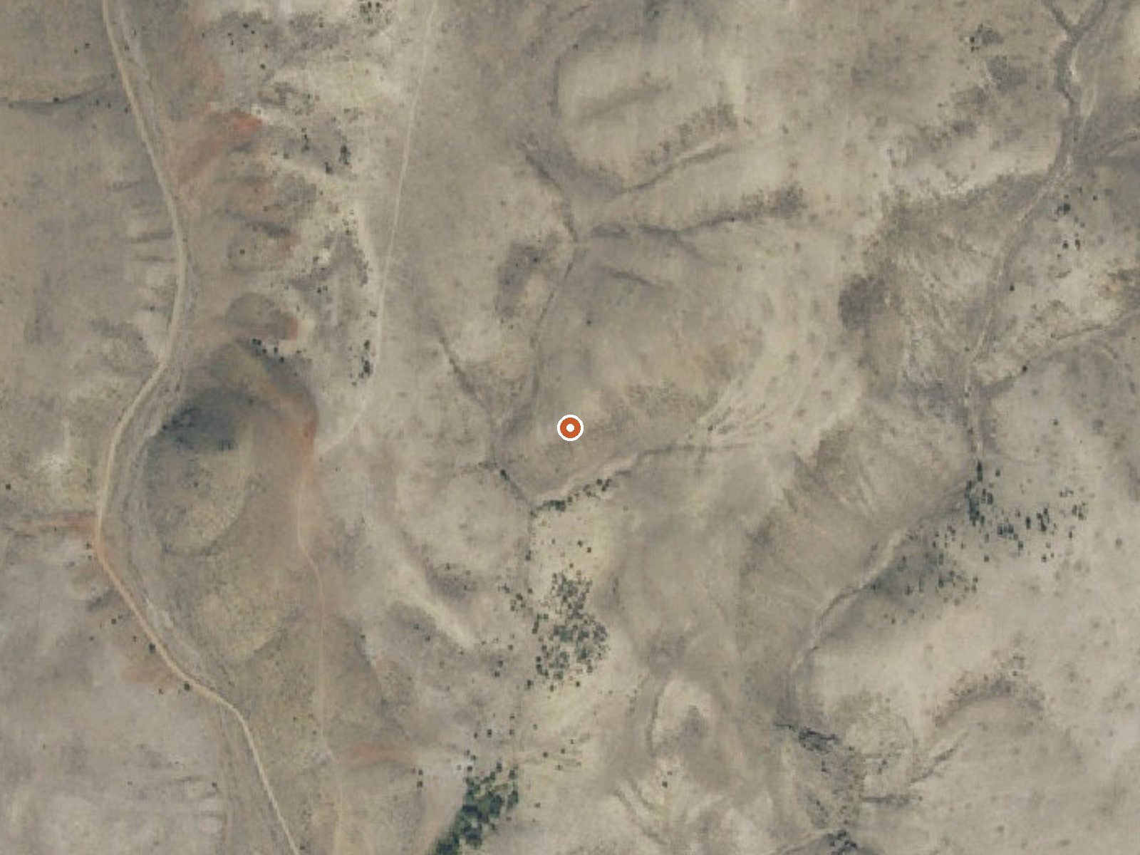
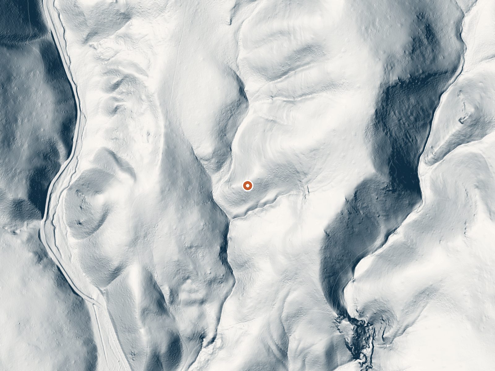
Drag the handle to compare the two views. The orange dot marks the spring, in a frame about three quarters of a mile wide.
Warm Springs, the Clark County one near Dubois, is a tepid spring in the mid eighties on ground the Upper Snake Field Office of the BLM looks after. Access is open. Getting there means a short walk, about 1,500 feet, starting at National Forest Development Road 192. The water is lukewarm. Dubois is about 21 miles off.
High, at about 6,500 feet, and dry: around fifty inches of snow and fifteen of precipitation a year, with temperatures averaging upper thirties. Public BLM ground, short walk in from a forest development road. No land designation beyond public BLM shows up, and no fee. The USGS keeps a site here, which is where the chemistry comes from.
Winter is on file as the best time. Birch Creek Campground is fifteen miles away. A June 2012 USGS sample supplies the temperature and chemistry, near-neutral water. No fee is listed. With the water in the eighties there is no burn concern, and the air, which averages under forty over the year, will usually be the colder of the two.
Aircraft with laser scanners measured this ground to within inches. The scan strips out trees and buildings, leaving the bare shape of the land around Warm Springs.
- Setting
- Hillside
- The spring sits on a steep slope that climbs to the northeast.
- Highest ground nearby
- 271 ft above the spring
- Within a quarter mile, to the northeast
A slice through the ground from southwest to northeast, about 0.6 miles end to end.
Elevation data: USGS 3D Elevation Program. Aerial imagery: USGS The National Map. Public domain.
That's about twice the US average of 65. It's higher than at 70% of the springs on this site.
Heat flow measures the warmth working its way up through the ground from deep inside the earth. Where it runs high, rain and snowmelt that seep down through cracks in the rock come back up hot.
See every spring on the geothermal heat map →
Heat flow estimate: Stanford Thermal Earth Model (Aljubran & Horne, 2024), CC BY 4.0.
The water at Warm Springs is neutral (pH 7.1).
Some links are affiliate links. We may earn a commission at no extra cost to you.
***An intense precipitation event occurring in southeastern Idaho resulted in the flooding of the popular Birch Creek campground. Fast moving water washed out many of the roads, leaving eroded gaps as deep as 3 Ѕ feet. While the area is still open to the public, the Bureau of Land Management Upper Snake Field Office urges the public to remain cautious, as the site has significantly changed.***This campground includes approximately 25 campsites with amenities such as picnic tables, fire rings,...
Warm Springs sits at 6,520 feet above sea level, way above the mile-high mark. You may not feel the altitude strongly, but hot water still dehydrates you faster at elevation. UV is about 26% stronger than at sea level, so bring sunscreen and drink more water than you normally would.



As an Amazon Associate, we earn from qualifying purchases.
Warm Springs is road-accessible, so you can bring more gear. Cold air temperatures make a changing robe or warm layers essential.






As an Amazon Associate, we earn from qualifying purchases.