Staudenmeyer Springs
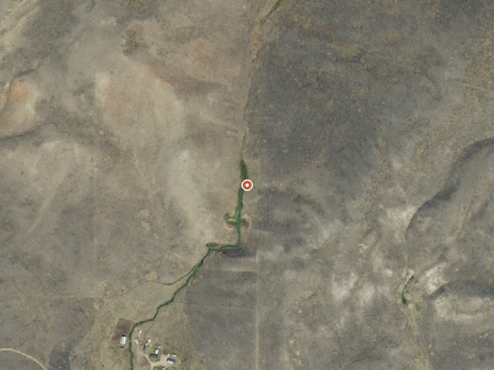
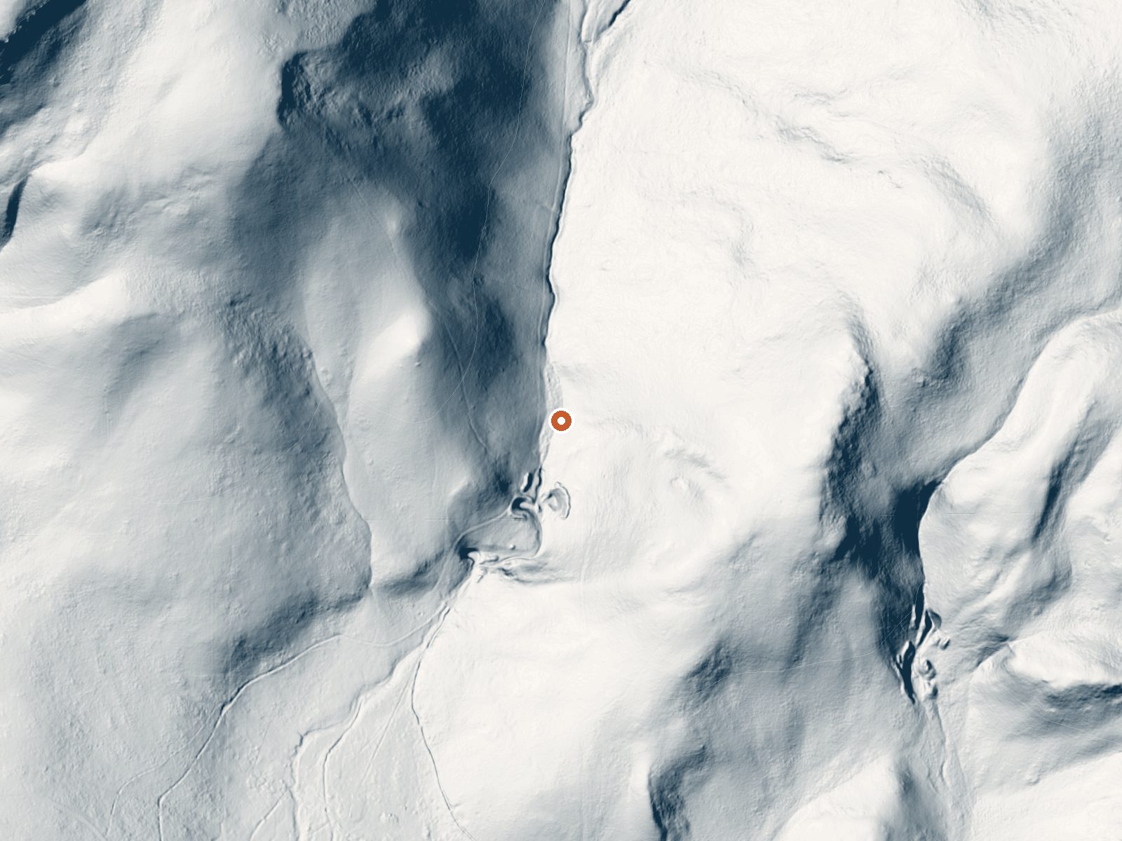
Drag the handle to compare the two views. The orange dot marks the spring, in a frame about three quarters of a mile wide.
Staudenmeyer Springs rises on the Sandhills Preserve, a privately held conservation property run by a nonprofit, in Madison County, Montana. Virginia City is the nearest town on record, about forty-one miles off. The water is tepid, pleasant on the skin and nowhere near a hot soak. Access is marked unknown, which for a preserve means asking the managing organization.
North Valley Road passes about four tenths of a mile away, and the rest is on foot. The spring sits high, in country with deep snow and a wet year. It lies inside the Sandhills Preserve, which is private conservation ground, so the usual public-land assumptions do not hold.
Contact the preserve before you visit. West Fork Cabin is the closest camp on record, about seven miles away. Winter gets the nod as best season on record, though at this elevation and snowfall a summer walk is the sane choice. Water chemistry and temperature date from a 1977 survey. No photo exists.
The spring sits within the Sandhills Preserve, held by a nonprofit as private conservation land, and it has a USGS site record.
Aircraft with laser scanners measured this ground to within inches. The scan strips out trees and buildings, leaving the bare shape of the land around Staudenmeyer Springs.
- Setting
- Canyon floor
- Steep ground climbs away on both sides of the spring.
- Highest ground nearby
- 286 ft above the spring
- Within a quarter mile, to the northwest
A slice through the ground from northwest to southeast, about 0.6 miles end to end.
Elevation data: USGS 3D Elevation Program. Aerial imagery: USGS The National Map. Public domain.
That's about twice the US average of 65. It's higher than at 68% of the springs on this site.
Heat flow measures the warmth working its way up through the ground from deep inside the earth. Where it runs high, rain and snowmelt that seep down through cracks in the rock come back up hot.
See every spring on the geothermal heat map →
Heat flow estimate: Stanford Thermal Earth Model (Aljubran & Horne, 2024), CC BY 4.0.
The water at Staudenmeyer Springs is slightly alkaline (pH 7.4).
Some links are affiliate links. We may earn a commission at no extra cost to you.
Overview West Fork Cabin is a small, secluded cabin in the mountains of southwestern Montana, located high in the Gravelly Range. The cabin was built in 1928 as an intermediate station for patrolling grazing allotments. The area is home to a variety of wildlife and offers numerous trails for hikers, equestrians and off-road vehicle riders during warmer months and snowmobilers in the winter. The cabin is available from July 1 through March 31. It can typically be accessed by vehicle; however...
Staudenmeyer Springs sits at 6,840 feet above sea level, way above the mile-high mark. You may not feel the altitude strongly, but hot water still dehydrates you faster at elevation. UV is about 27% stronger than at sea level, so bring sunscreen and drink more water than you normally would.



As an Amazon Associate, we earn from qualifying purchases.
Staudenmeyer Springs is road-accessible, so you can bring more gear. Cold air temperatures make a changing robe or warm layers essential.






As an Amazon Associate, we earn from qualifying purchases.
Springs Near Staudenmeyer Springs
More Springs Around 82°F
Slightly Alkaline Springs (pH ~7.4)
Hike 6 waterfalls near Staudenmeyer Springs
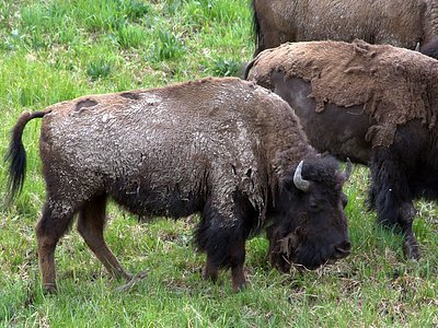
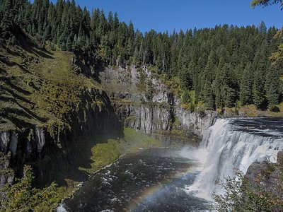
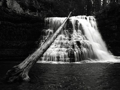
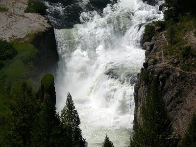
Looking for more outdoor adventures? Explore waterfall hikes near Staudenmeyer Springs, Montana.