Hot Springs
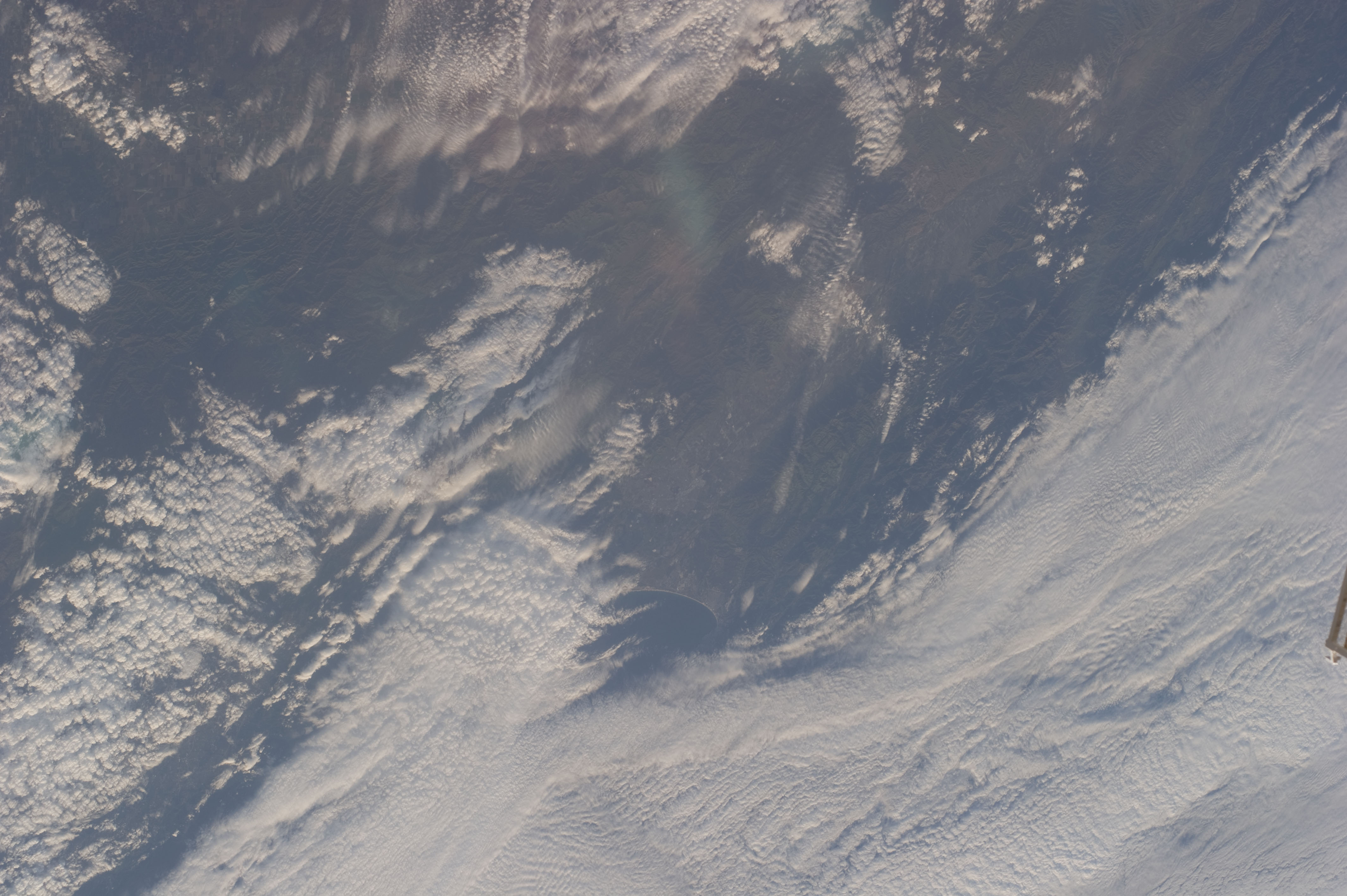
Hot Springs here is a USGS-listed thermal point in Lander County, a bit over thirty miles from Battle Mountain, with water that runs hot, past the point of comfortable soaking. A photo exists in the record, which is more than most basin springs can claim. The owner is not listed, nor is any access status, so the usual cautions about standing on somebody's land apply.
A road with no name anyone wrote down passes about a hundred feet from the source. The ground is below five thousand feet and dry, eleven inches of moisture annually, with snowfall that reaches two and a half feet through a typical winter. No land unit or designation is recorded.
Plan for midwinter if you want the trip to pay off; those are the months marked best on file. Snow can make the roads slow going in that stretch, though the source itself is roadside. Lingering contact with water this hot will burn. The record lists nothing on chemistry, fees, camping or access rights.
Aircraft with laser scanners measured this ground to within inches. The scan strips out trees and buildings, leaving the bare shape of the land around Hot Springs.
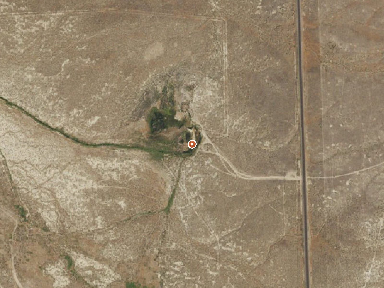
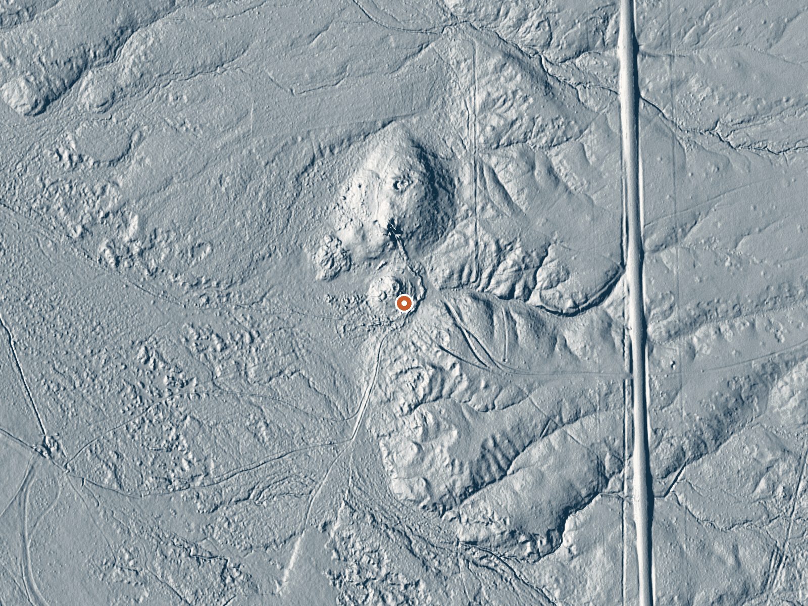
Drag the handle to compare the two views. The orange dot marks the spring, in a frame about three quarters of a mile wide.
- Setting
- Open ground
- Flat, open ground all around.
- Highest ground nearby
- 23 ft above the spring
- Within a quarter mile, to the east
A slice through the ground from northwest to southeast, about 0.6 miles end to end.
Elevation data: USGS 3D Elevation Program. Aerial imagery: USGS The National Map. Public domain.
That's about 1½ times the US average of 65. It's higher than at 44% of the springs on this site.
Heat flow measures the warmth working its way up through the ground from deep inside the earth. Where it runs high, rain and snowmelt that seep down through cracks in the rock come back up hot.
See every spring on the geothermal heat map →
Heat flow estimate: Stanford Thermal Earth Model (Aljubran & Horne, 2024), CC BY 4.0.
Some links are affiliate links. We may earn a commission at no extra cost to you.
Hot Springs is road-accessible, so you can bring more gear. The water runs hot, so extra hydration is key.





As an Amazon Associate, we earn from qualifying purchases.
Springs Near Hot Springs
More Springs Around 127°F
Hike 1 waterfall near Hot Springs
Looking for more outdoor adventures? Explore waterfall hikes near Hot Springs, Nevada.