Mound Springs
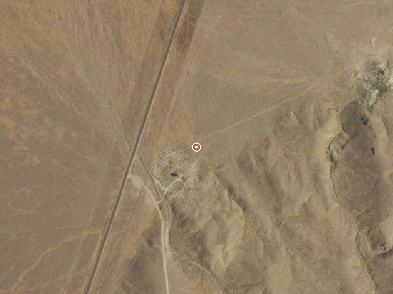
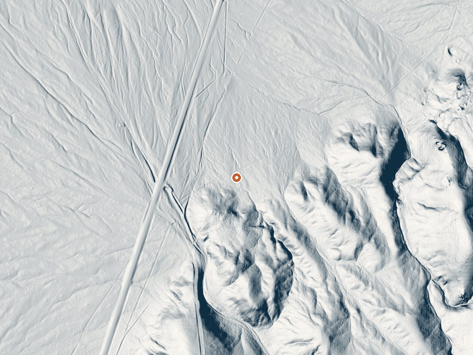
Drag the handle to compare the two views. The orange dot marks the spring, in a frame about three quarters of a mile wide.
Mound Springs turns up in Lander County, some 23 miles out from Battle Mountain. The water runs hot, a shade under the line where most people stop wanting to get in, so ease down slowly. No landowner is named for it, and permission to be there is an open question, which counts for more here than the heat does.
The spring lies a tenth of a mile off Battle Mountain Road, a short walk from the car. Elevation is modest for the state, under five thousand feet, low for Nevada. Winters here drop around two and a half feet of snow over the season, and the rest of the year is dry, eleven inches of precipitation all told.
The coldest stretch of the year, December through February, is what the record favors. Access class is a short walk, so no real hiking involved. With no landowner on file, look into who holds the land before driving out. No camping is listed nearby. The temperature is a USGS reading; the sample date is not given, so assume it could have shifted since.
Aircraft with laser scanners measured this ground to within inches. The scan strips out trees and buildings, leaving the bare shape of the land around Mound Springs.
- Setting
- Gentle slope
- The ground tilts gently up to the southeast.
- Highest ground nearby
- 79 ft above the spring
- Within a quarter mile, to the southeast
A slice through the ground from south to north, about 0.6 miles end to end.
Elevation data: USGS 3D Elevation Program. Aerial imagery: USGS The National Map. Public domain.
That's about 1½ times the US average of 65. It's higher than at 39% of the springs on this site.
Heat flow measures the warmth working its way up through the ground from deep inside the earth. Where it runs high, rain and snowmelt that seep down through cracks in the rock come back up hot.
See every spring on the geothermal heat map →
Heat flow estimate: Stanford Thermal Earth Model (Aljubran & Horne, 2024), CC BY 4.0.
Some links are affiliate links. We may earn a commission at no extra cost to you.
Mound Springs is road-accessible, so you can bring more gear.






As an Amazon Associate, we earn from qualifying purchases.