Petaini Springs
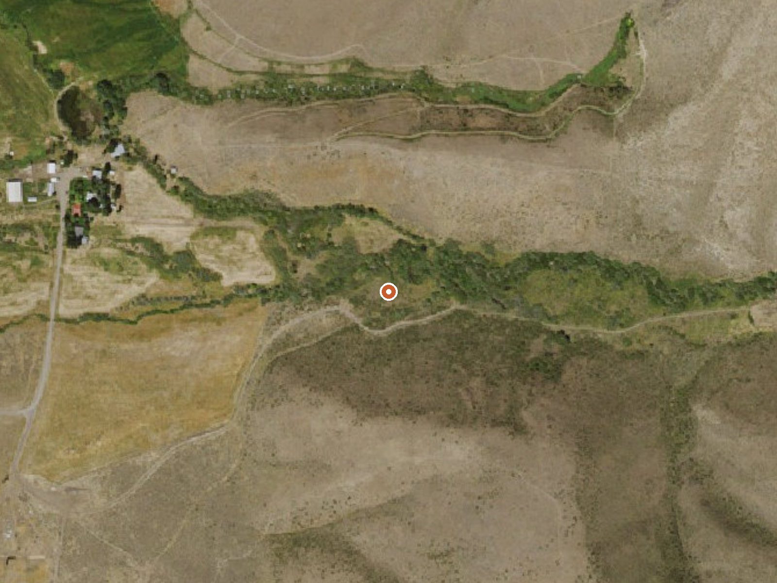
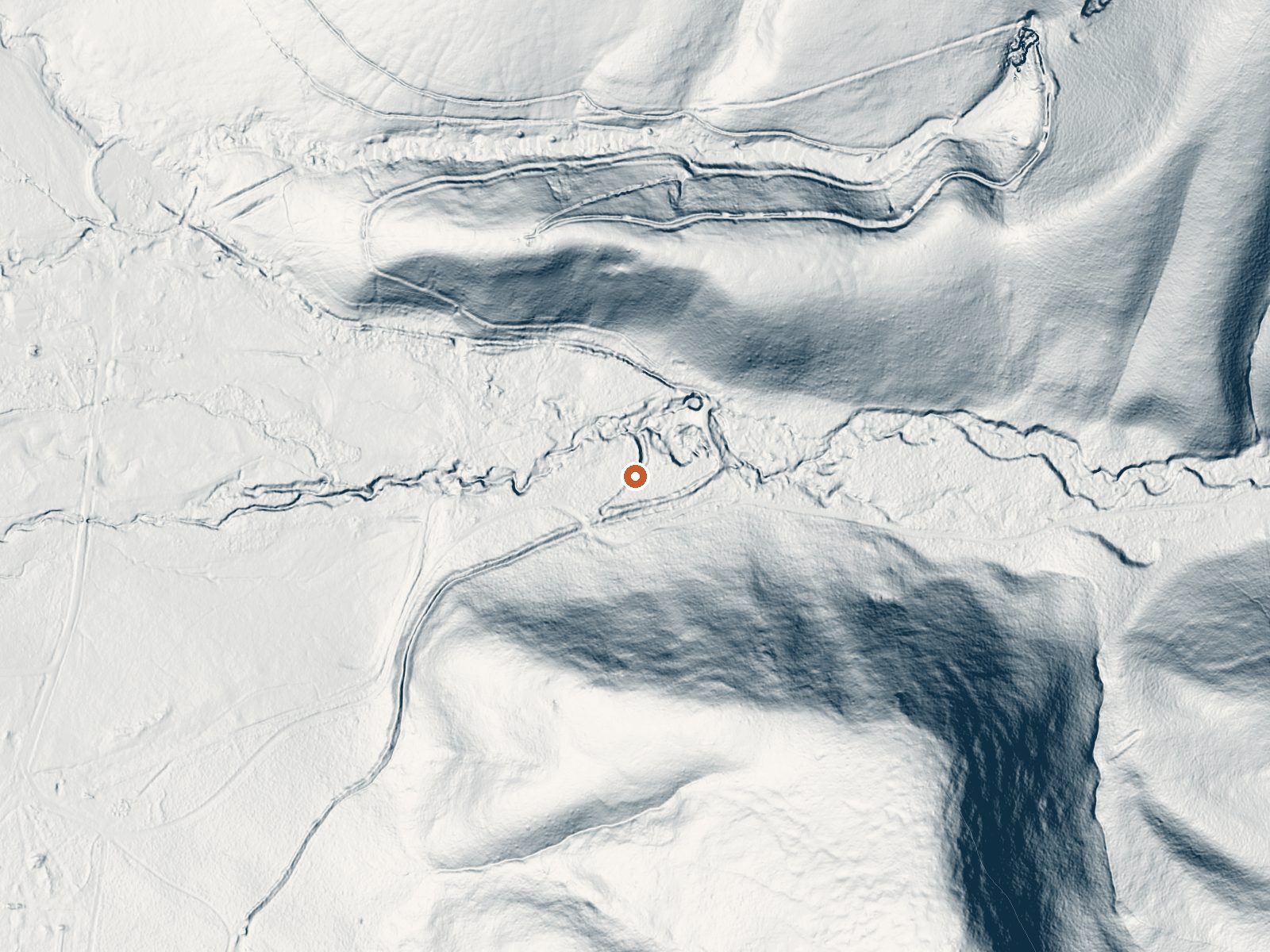
Drag the handle to compare the two views. The orange dot marks the spring, in a frame about three quarters of a mile wide.
Petaini Springs sits in Elko County roughly forty miles out from Elko, at 6,250 feet alongside a Forest Service road. Warm is the word attached to it, but no one has ever measured a temperature, so this page is not grounds for calling it soakable. Ownership went unrecorded, and so did any word on whether the public may go.
National Forest Development Road 004 passes within about 160 feet, making this a roadside stop once you are on that road. High country, and the climate matches: a typical winter brings over five feet of snow, and precipitation runs seventeen inches. Nothing on record says if the road stays open in winter.
No best months are on file; the snow totals are the main thing to plan around. A 1993 sample recorded pH only, nothing else. The record is missing a temperature and an owner. Access is blank as well. Research this one before driving out.
Aircraft with laser scanners measured this ground to within inches. The scan strips out trees and buildings, leaving the bare shape of the land around Petaini Springs.
- Setting
- Canyon floor
- Steep ground climbs away on both sides of the spring.
- Highest ground nearby
- 337 ft above the spring
- Within a quarter mile, to the southeast
A slice through the ground from southwest to northeast, about 0.6 miles end to end.
Elevation data: USGS 3D Elevation Program. Aerial imagery: USGS The National Map. Public domain.
That's about twice the US average of 65. It's higher than at 84% of the springs on this site.
Heat flow measures the warmth working its way up through the ground from deep inside the earth. Where it runs high, rain and snowmelt that seep down through cracks in the rock come back up hot.
See every spring on the geothermal heat map →
Heat flow estimate: Stanford Thermal Earth Model (Aljubran & Horne, 2024), CC BY 4.0.
The water at Petaini Springs is slightly alkaline (pH 7.6).
Petaini Springs sits at 6,250 feet above sea level, way above the mile-high mark. You may not feel the altitude strongly, but hot water still dehydrates you faster at elevation. UV is about 25% stronger than at sea level, so bring sunscreen and drink more water than you normally would.



As an Amazon Associate, we earn from qualifying purchases.