Rowland Hot Springs
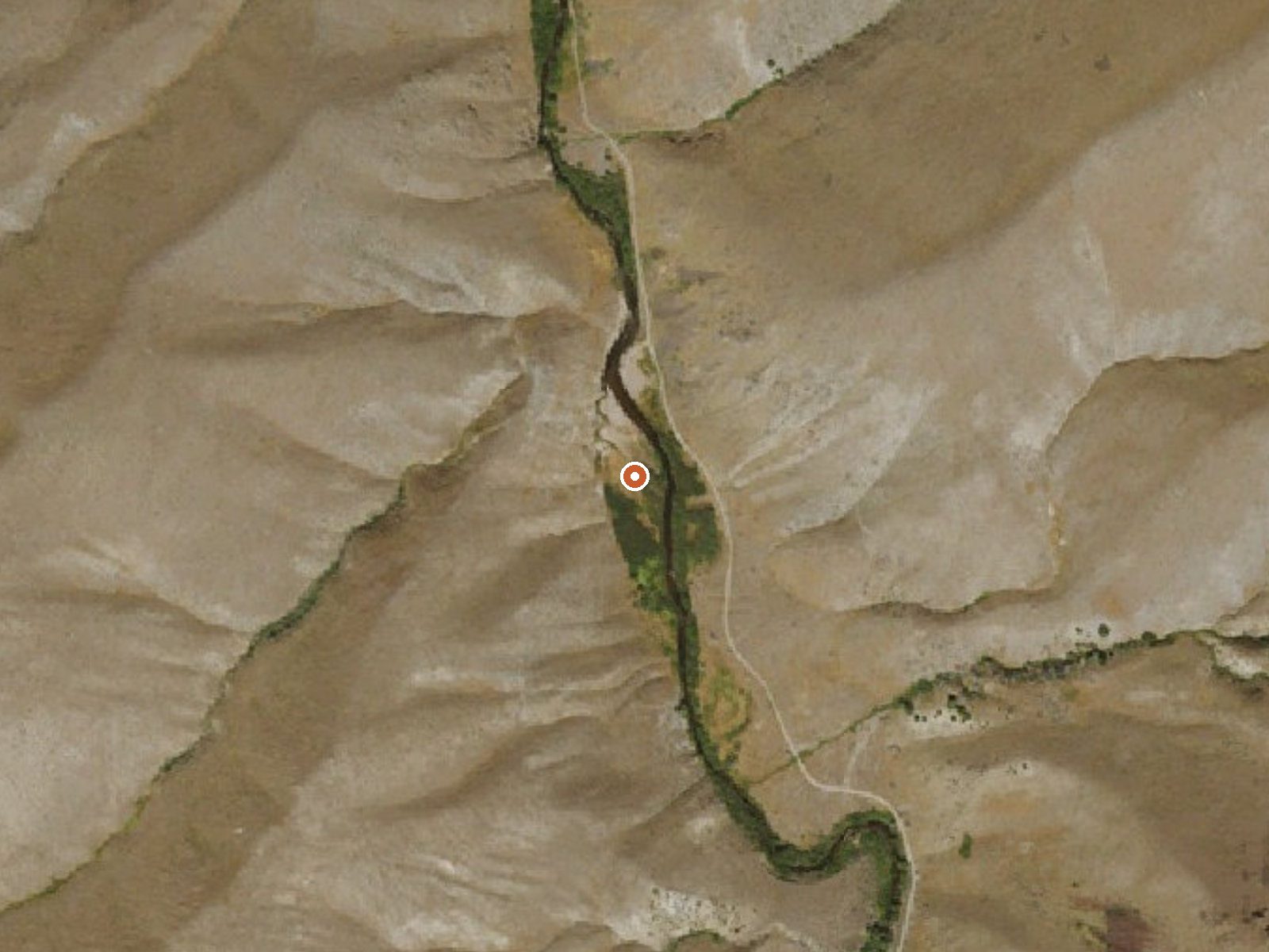
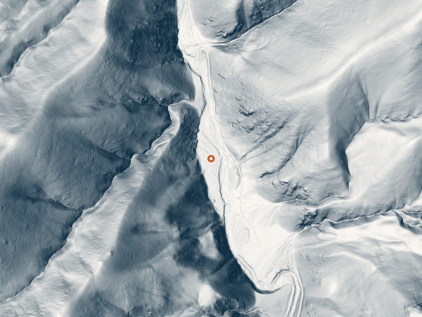
Drag the handle to compare the two views. The orange dot marks the spring, in a frame about three quarters of a mile wide.
Rowland Hot Springs comes out a little above body heat, the kind of water you can sit in without thinking about it. It is on Forest Service ground in the Humboldt National Forest, Elko County, and the closest town on file is Jackpot at something like fifty miles. Access is open. Iron shows up in the water analysis along with the usual salts, so a metallic smell would be no surprise.
A forest development road passes within a couple hundred feet of the source, so once you are on that road there is nothing left to walk. The country is high, a bit over five thousand feet. Winters are serious here. Sixty-some inches of snow falls in an average year and the annual precipitation is middling for Nevada. The road is what will limit you when the ground is white.
Midwinter is the window the record favors. Will the forest road be drivable then? Nothing on file answers that, so ask the forest office before you drive fifty miles out of Jackpot. The Forks Campground is the nearest camping listed, about sixteen miles away. The water analysis dates to 1988. Put a hand in before you trust the temperature figure.
Aircraft with laser scanners measured this ground to within inches. The scan strips out trees and buildings, leaving the bare shape of the land around Rowland Hot Springs.
- Setting
- Canyon floor
- Steep ground climbs away on both sides of the spring.
- Highest ground nearby
- 545 ft above the spring
- Within a quarter mile, to the southwest
A slice through the ground from west to east, about 0.6 miles end to end.
Elevation data: USGS 3D Elevation Program. Aerial imagery: USGS The National Map. Public domain.
That's about 1½ times the US average of 65. It's higher than at 54% of the springs on this site.
Heat flow measures the warmth working its way up through the ground from deep inside the earth. Where it runs high, rain and snowmelt that seep down through cracks in the rock come back up hot.
See every spring on the geothermal heat map →
Heat flow estimate: Stanford Thermal Earth Model (Aljubran & Horne, 2024), CC BY 4.0.
The water at Rowland Hot Springs is slightly alkaline (pH 7.6).
Some links are affiliate links. We may earn a commission at no extra cost to you.
This small campground is located on the East Fork of the Jarbidge Wild and Scenic River about two miles north of Murphy Hot Springs across from the Jarbidge River Put-in. Two-wheel drive vehicles are sufficient to reach the site.
Rowland Hot Springs is road-accessible, so you can bring more gear.






As an Amazon Associate, we earn from qualifying purchases.