Tom Spring
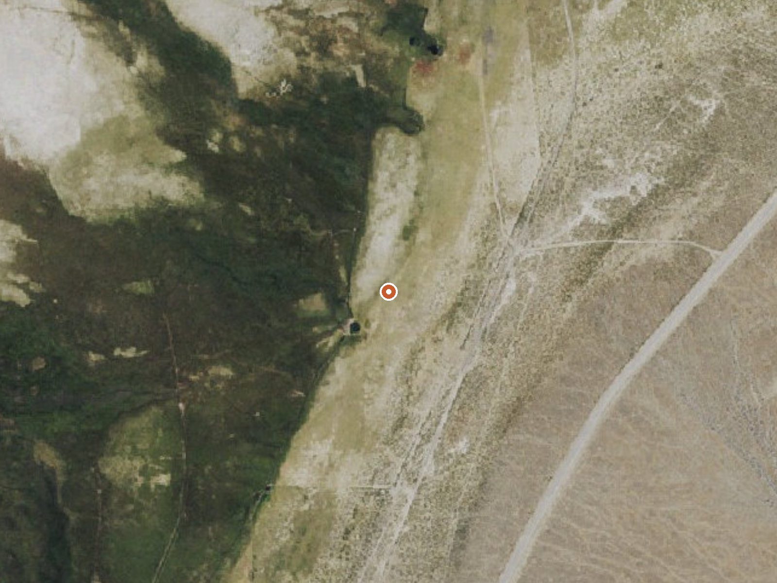
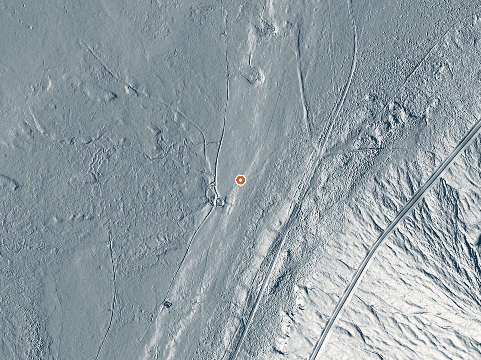
Drag the handle to compare the two views. The orange dot marks the spring, in a frame about three quarters of a mile wide.
Nearly 60 miles from Ely, Tom Spring registers lukewarm on the USGS listing for White Pine County. Nothing on file names an owner or says whether the public may visit. A site number is attached. That is the extent of what is known, and no image accompanies it.
Around five hundred feet on foot from a road that the listing does not identify. Dry country with a light winter snowpack of about sixteen inches and six inches of precipitation across the year. Elevation sits mid-range. Land unit, designation: both empty.
January tops the record, with December and February close behind. Short walk in. With lukewarm water and unknown ownership, this is one to investigate before you make the long drive out from Ely. No chemistry, fee, photo or campground is listed, and the temperature has no date.
Aircraft with laser scanners measured this ground to within inches. The scan strips out trees and buildings, leaving the bare shape of the land around Tom Spring.
- Setting
- Open ground
- Flat, open ground all around.
- Highest ground nearby
- 59 ft above the spring
- Within a quarter mile, to the southeast
A slice through the ground from northwest to southeast, about 0.6 miles end to end.
Elevation data: USGS 3D Elevation Program. Aerial imagery: USGS The National Map. Public domain.
That's about 1½ times the US average of 65. It's higher than at 21% of the springs on this site.
Heat flow measures the warmth working its way up through the ground from deep inside the earth. Where it runs high, rain and snowmelt that seep down through cracks in the rock come back up hot.
See every spring on the geothermal heat map →
Heat flow estimate: Stanford Thermal Earth Model (Aljubran & Horne, 2024), CC BY 4.0.
Some links are affiliate links. We may earn a commission at no extra cost to you.
Tom Spring is road-accessible, so you can bring more gear.






As an Amazon Associate, we earn from qualifying purchases.