Unnamed Thermal Spring
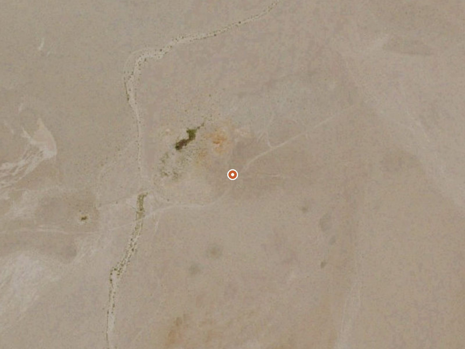
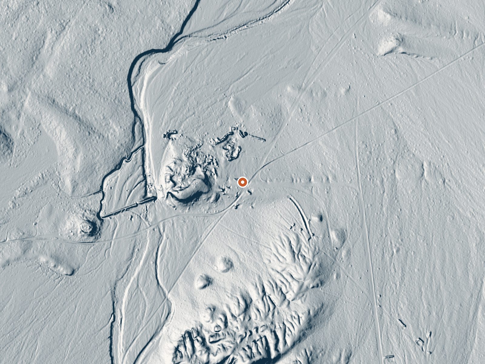
Drag the handle to compare the two views. The orange dot marks the spring, in a frame about three quarters of a mile wide.
This unnamed thermal point sits three miles from Dixon Lane-Meadow Creek in Inyo County, within a stone's throw of a road and listed as open to the public. The water runs warm, like bathwater that has been left to cool, and the record assigns the ground to the Bureau of Land Management's Tonopah Field Office. The chemistry is unusually recent: a USGS sample from September 2021 showed mildly alkaline water with a lot of dissolved solids.
Forty-odd feet off a road with no name on file. Low desert by the climate numbers: barely any snow, five inches of precipitation in a typical year, and an average temperature in the high fifties. Elevation is moderate. The BLM parcel has no special designation beyond ordinary public land, and no campground is recorded nearby.
Winter is the rated season here, December through February, and with so little snow, closures are less of a worry than farther north. Roadside access means no walking to speak of. The record shows no fee and no campground. The water is only warm, so there is no burn risk. The 2021 sample is recent enough to trust.
Aircraft with laser scanners measured this ground to within inches. The scan strips out trees and buildings, leaving the bare shape of the land around this spring.
- Setting
- Open ground
- Flat, open ground all around.
- Highest ground nearby
- 58 ft above the spring
- Within a quarter mile, to the south
A slice through the ground from south to north, about 0.6 miles end to end.
Elevation data: USGS 3D Elevation Program. Aerial imagery: USGS The National Map. Public domain.
That's close to the US average of 65. It's higher than at 14% of the springs on this site.
Heat flow measures the warmth working its way up through the ground from deep inside the earth. Where it runs high, rain and snowmelt that seep down through cracks in the rock come back up hot.
See every spring on the geothermal heat map →
Heat flow estimate: Stanford Thermal Earth Model (Aljubran & Horne, 2024), CC BY 4.0.
The water at This spring is slightly alkaline (pH 8.1) with 2275 mg/L total dissolved solids. It is notably rich in magnesium (known for muscle relaxation and stress relief), sodium (supports circulation and skin hydration), and sulfate (traditionally used for skin conditions and inflammation).
Some links are affiliate links. We may earn a commission at no extra cost to you.
this spring is road-accessible, so you can bring more gear.






As an Amazon Associate, we earn from qualifying purchases.