Gap Spring
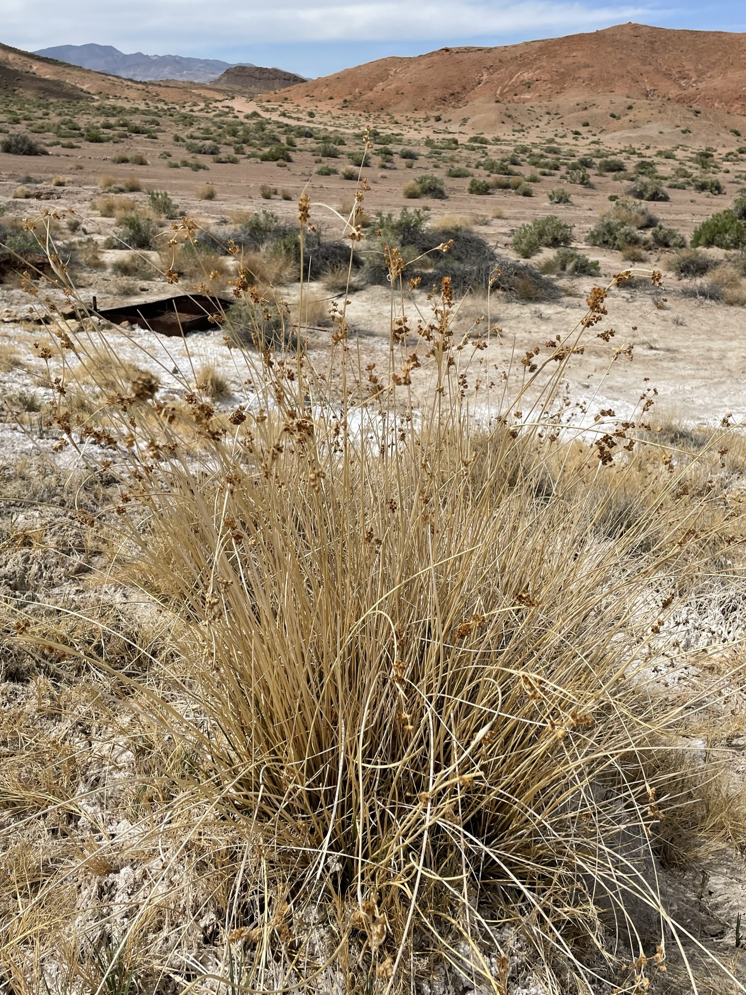
Gap Spring is a tepid, heavily mineralized spring on Bureau of Land Management land in Inyo County, within a few miles of Dixon Lane-Meadow Creek. Public access is listed as open, and it sits a stone's throw from Emigrant Pass Road. The water runs alkaline and carries a heavy mineral load. A sample taken in the autumn of 2021 covered the usual suite, calcium through chloride. Nobody would call this hot. Warm on a cold morning is the honest description.
This is roadside water. Emigrant Pass Road passes within about eighty feet of the spring, on public ground managed out of the BLM's Tonopah Field Office. The country is mid-elevation desert, dry, a few inches of rain in a year, with light winter snow. That 2021 sample is recent by the standards of these records, so the chemistry shown on this page is probably still close to what the spring delivers today.
Winter is when the record says to come, December through February, when tepid water feels better than it will in July. You can drive up to it. No fee is listed and the land is open, though the Field Office's rules on camping near water are worth a look. Nothing on file describes a pool or its depth. The temperature on file dates from 2021.
Aircraft with laser scanners measured this ground to within inches. The scan strips out trees and buildings, leaving the bare shape of the land around Gap Spring.
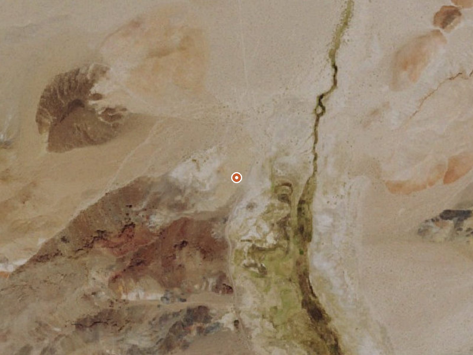
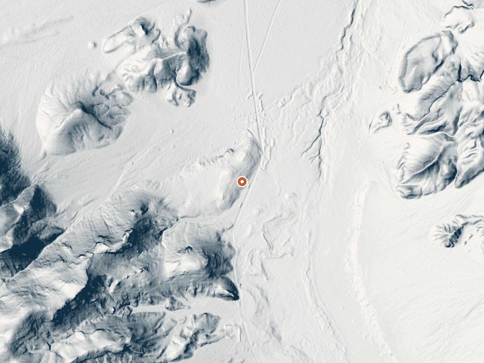
Drag the handle to compare the two views. The orange dot marks the spring, in a frame about three quarters of a mile wide.
- Setting
- Gentle slope
- The ground tilts gently up to the west.
- Highest ground nearby
- 156 ft above the spring
- Within a quarter mile, to the west
A slice through the ground from west to east, about 0.6 miles end to end.
Elevation data: USGS 3D Elevation Program. Aerial imagery: USGS The National Map. Public domain.
That's about 1½ times the US average of 65. It's higher than at 18% of the springs on this site.
Heat flow measures the warmth working its way up through the ground from deep inside the earth. Where it runs high, rain and snowmelt that seep down through cracks in the rock come back up hot.
See every spring on the geothermal heat map →
Heat flow estimate: Stanford Thermal Earth Model (Aljubran & Horne, 2024), CC BY 4.0.
The water at Gap Spring is slightly alkaline (pH 8.4) with 4388 mg/L total dissolved solids. It is notably rich in magnesium (known for muscle relaxation and stress relief), sodium (supports circulation and skin hydration), and sulfate (traditionally used for skin conditions and inflammation).
Some links are affiliate links. We may earn a commission at no extra cost to you.
Gap Spring is road-accessible, so you can bring more gear.






As an Amazon Associate, we earn from qualifying purchases.