Warm Spring
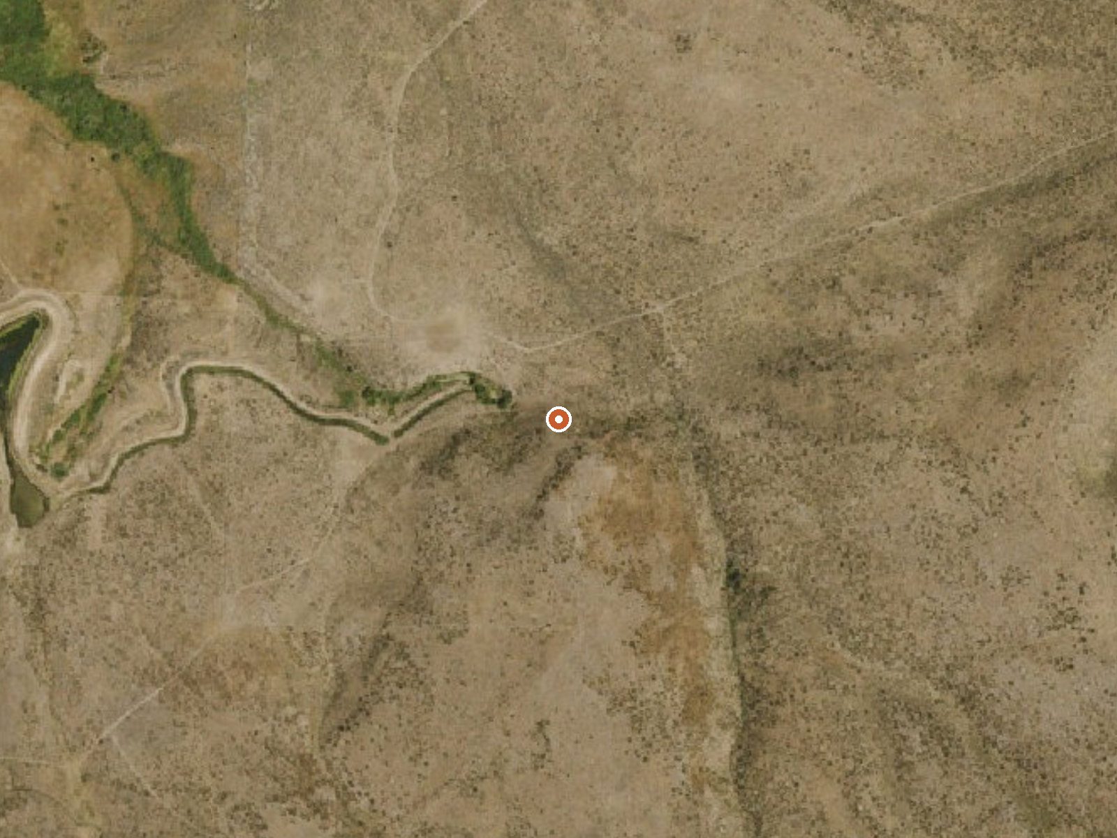
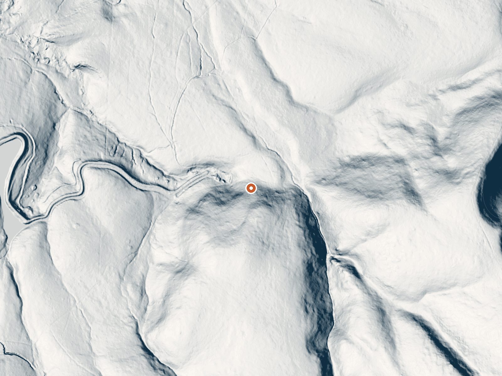
Drag the handle to compare the two views. The orange dot marks the spring, in a frame about three quarters of a mile wide.
Several Nevada springs go by the bare name Warm Spring. This one belongs to Elko County, roughly a dozen miles from Spring Creek. The survey that recorded it wrote down warm and nothing more, so there is no measured temperature and no basis for calling it soakable. Who owns the ground was never noted.
You can see it from the car, give or take. Under fifty yards of walking, off a road nobody put a name to. Six thousand feet puts this in high sagebrush, and winter delivers well over four feet of snow in a typical year, with moderate moisture through the rest of it. The Powerhouse group picnic area, a little under nine miles out, is the nearest camping that turns up.
No month rankings exist for this spot, so let the snowfall decide. Expect drifted approaches through midwinter and mud when it melts. Public access is absent from the record, and so is any temperature reading, which makes the first visit a scouting trip. Ask about ownership in Spring Creek before you walk in.
Aircraft with laser scanners measured this ground to within inches. The scan strips out trees and buildings, leaving the bare shape of the land around Warm Spring.
- Setting
- Hillside
- The spring sits on a steep slope that climbs to the southeast.
- Highest ground nearby
- 194 ft above the spring
- Within a quarter mile, to the southeast
A slice through the ground from north to south, about 0.6 miles end to end.
Elevation data: USGS 3D Elevation Program. Aerial imagery: USGS The National Map. Public domain.
That's close to the US average of 65. It's higher than at 7% of the springs on this site.
Heat flow measures the warmth working its way up through the ground from deep inside the earth. Where it runs high, rain and snowmelt that seep down through cracks in the rock come back up hot.
See every spring on the geothermal heat map →
Heat flow estimate: Stanford Thermal Earth Model (Aljubran & Horne, 2024), CC BY 4.0.
Some links are affiliate links. We may earn a commission at no extra cost to you.
Overview Powerhouse Group Picnic Area is set in scenic Lamoille Canyon, next to Lamoille Creek, at an elevation of 6,500 feet. Elko, in northeastern Nevada, is just 25 miles away. Visitors enjoy fishing and exploring local trails.Recreation Fishing for rainbow and brook trout is popular on the creek. Lamoille Canyon contains numerous hiking and horseback riding trails that lead to alpine lakes and scenic vistas. The canyon road itself, Lamoille Canyon Scenic Byway, is popular for scenic drivi...
Warm Spring sits at 6,009 feet above sea level, way above the mile-high mark. You may not feel the altitude strongly, but hot water still dehydrates you faster at elevation. UV is about 24% stronger than at sea level, so bring sunscreen and drink more water than you normally would.



As an Amazon Associate, we earn from qualifying purchases.
Warm Spring is road-accessible, so you can bring more gear.






As an Amazon Associate, we earn from qualifying purchases.