Sulphur Hot Springs

Sulphur Hot Springs in Elko County runs at a rolling boil, far past anything you could sit in. Spring Creek is the nearest town at about twenty miles. no owner is on record and so is access status. Chemistry from 1978 lists the common minerals and nothing exotic. There is an image in the file, and the spring gets a fair number of searches.
Roughly a thousand feet of walking from the nearest road, which goes unnamed in the record. The ground is high, a little over six thousand feet, and winters bring around four feet of snow. Precipitation is moderate. No land unit is recorded, nor a designation. Terraces Campground and picnic area is about five miles off, the closest camping in the file.
Midwinter is the season on file. Boiling water scalds instantly, so treat the source as a hazard and keep back from the edge. The walk in is short. With no owner recorded, watch for posted notices. Terraces Campground is a few miles away. The chemistry sample is decades old, and the temperature reading may be no younger.
USGS hasn't flown a detailed laser scan here yet, so this view comes from aerial photos and older elevation data.
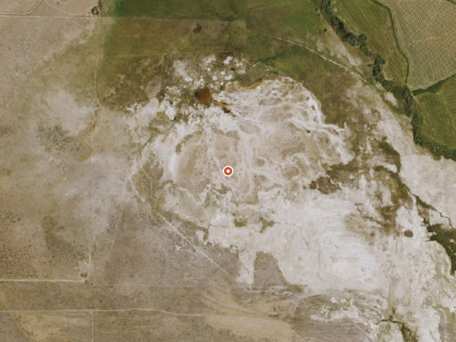
The orange dot marks the spring, in a frame about three quarters of a mile wide.
- Setting
- Open ground
- Flat, open ground all around.
- Highest ground nearby
- 14 ft above the spring
- Within a quarter mile, to the north
A slice through the ground from north to south, about 0.6 miles end to end.
Elevation data: USGS 3D Elevation Program. Aerial imagery: USGS The National Map. Public domain.
Landsat's thermal camera passed over on a clear winter day, December 17, 2019. This spring's heat shows up from about 440 miles up. The brightest yellow marks the warmest ground, roughly 15°F warmer than the land around it.
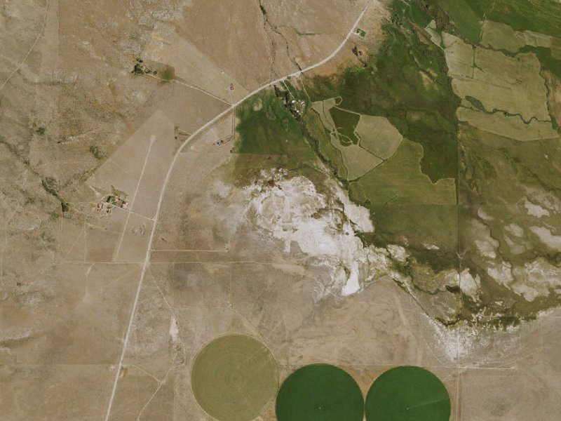
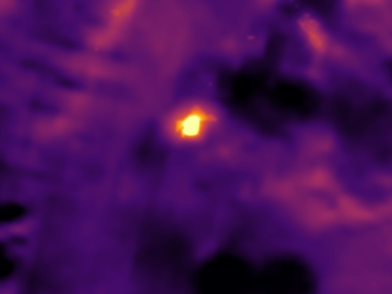
Drag to compare. The view is about 2½ miles across, and each thermal pixel covers roughly 300 feet of ground, so individual pools blur into one warm patch.
Thermal: Landsat 8/9 surface temperature, USGS (public domain), via Microsoft Planetary Computer. Aerial: USGS The National Map. More springs seen from space.
That's about twice the US average of 65. It's higher than at 73% of the springs on this site.
Heat flow measures the warmth working its way up through the ground from deep inside the earth. Where it runs high, rain and snowmelt that seep down through cracks in the rock come back up hot.
See every spring on the geothermal heat map →
Heat flow estimate: Stanford Thermal Earth Model (Aljubran & Horne, 2024), CC BY 4.0.
The water at Sulphur Hot Springs is neutral (pH 7.1).
Some links are affiliate links. We may earn a commission at no extra cost to you.
Overview Terraces Overnight Group Area is a popular location for weddings, church activities, family reunions and company picnics. It is located in scenic Lamoille Canyon, 35 miles southeast of Elko, Nevada. Visitors enjoy fishing in Lamoille Creek and hiking on many local trails. Recreation Lamoille Creek runs just outside the picnic area and is a popular stream among fly-fishermen. The creek contains brook and wild rainbow trout.Lamoille Canyon offers numerous hiking and horseback riding t...
Sulphur Hot Springs sits at 6,040 feet above sea level, way above the mile-high mark. You may not feel the altitude strongly, but hot water still dehydrates you faster at elevation. UV is about 24% stronger than at sea level, so bring sunscreen and drink more water than you normally would.



As an Amazon Associate, we earn from qualifying purchases.
Sulphur Hot Springs is road-accessible, so you can bring more gear. The water is dangerously hot, so bring water shoes and test pools carefully.





As an Amazon Associate, we earn from qualifying purchases.