Warm Spring
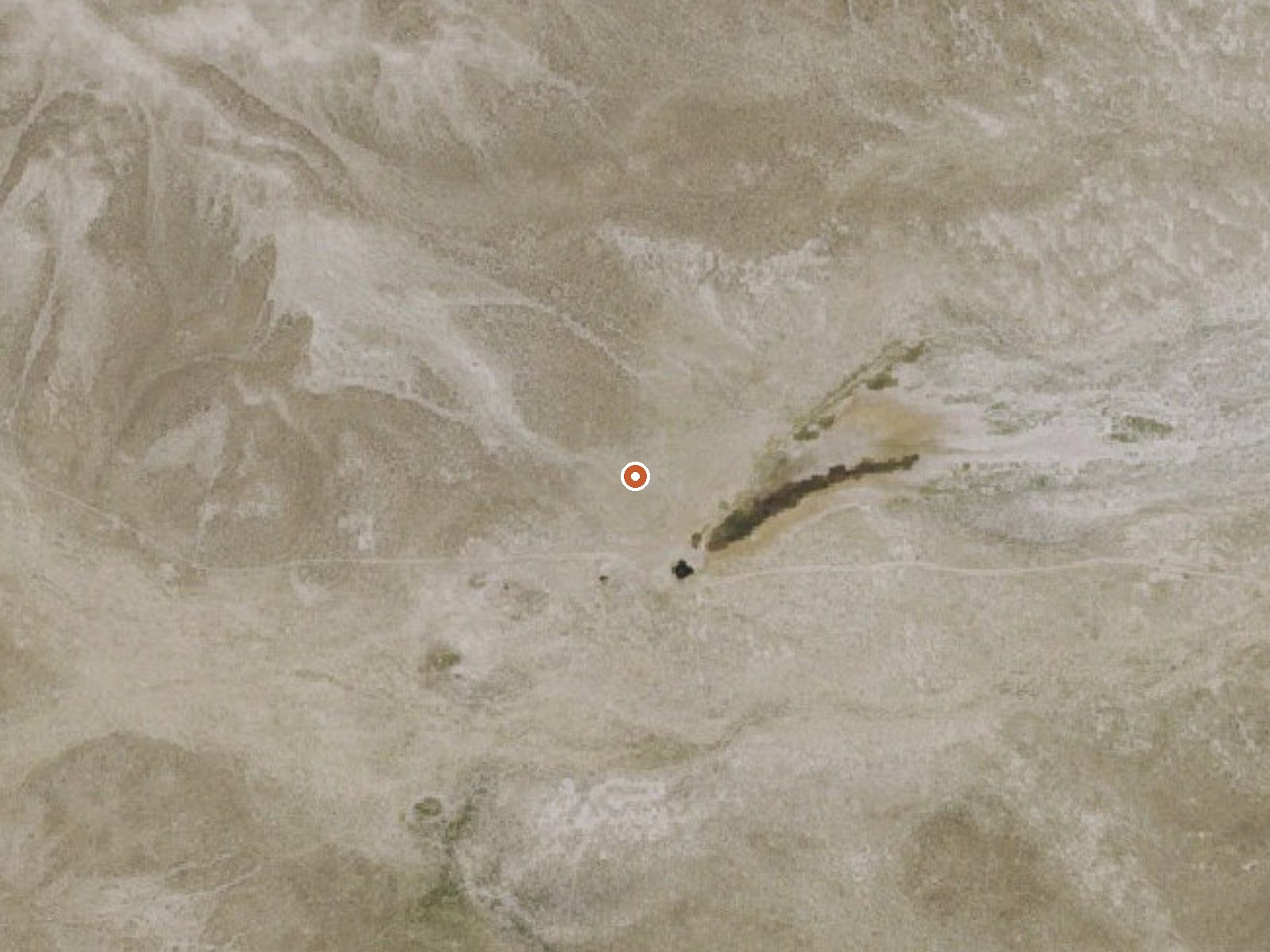
The orange dot marks the spring, in a frame about three quarters of a mile wide.
Another Warm Spring, this time in Eureka County on Bureau of Land Management ground, a bit over twenty miles out of Eureka. The BLM's Mount Lewis Field Office administers it and the land is listed as open to the public. Beyond the word warm, nobody wrote down how hot the water runs, so treat any soaking plans as speculative until you put a hand in.
Roadside, more or less. The spring sits less than a hundred yards from the pavement or gravel, though which road that is has not been named. It is public BLM land a little over six thousand feet up. Snow falls here through the cold months, close to three feet in an average winter, and the whole year stays on the dry side, which is normal for central Nevada.
The record does not rank the months. Shoulder seasons tend to be the practical window in this part of the state, since snow and summer heat both make the sagebrush less friendly, but the climate chart will tell you more than that guess. Access is open, no fee appears, and the USGS keeps this point in its thermal inventory. Bring your own thermometer.
USGS hasn't flown a detailed laser scan here yet, so this view comes from aerial photos and older elevation data.
- Setting
- Open ground
- Flat, open ground all around.
- Highest ground nearby
- 32 ft above the spring
- Within a quarter mile, to the northwest
A slice through the ground from northwest to southeast, about 0.6 miles end to end.
Elevation data: USGS 3D Elevation Program. Aerial imagery: USGS The National Map. Public domain.
That's close to the US average of 65. It's higher than at 13% of the springs on this site.
Heat flow measures the warmth working its way up through the ground from deep inside the earth. Where it runs high, rain and snowmelt that seep down through cracks in the rock come back up hot.
See every spring on the geothermal heat map →
Heat flow estimate: Stanford Thermal Earth Model (Aljubran & Horne, 2024), CC BY 4.0.
Some links are affiliate links. We may earn a commission at no extra cost to you.
Warm Spring sits at 6,135 feet above sea level, way above the mile-high mark. You may not feel the altitude strongly, but hot water still dehydrates you faster at elevation. UV is about 25% stronger than at sea level, so bring sunscreen and drink more water than you normally would.



As an Amazon Associate, we earn from qualifying purchases.
Warm Spring is road-accessible, so you can bring more gear.






As an Amazon Associate, we earn from qualifying purchases.
Springs Near Warm Spring
Hike 1 waterfall near Warm Spring
Looking for more outdoor adventures? Explore waterfall hikes near Warm Spring, Nevada.