Unnamed Thermal Spring
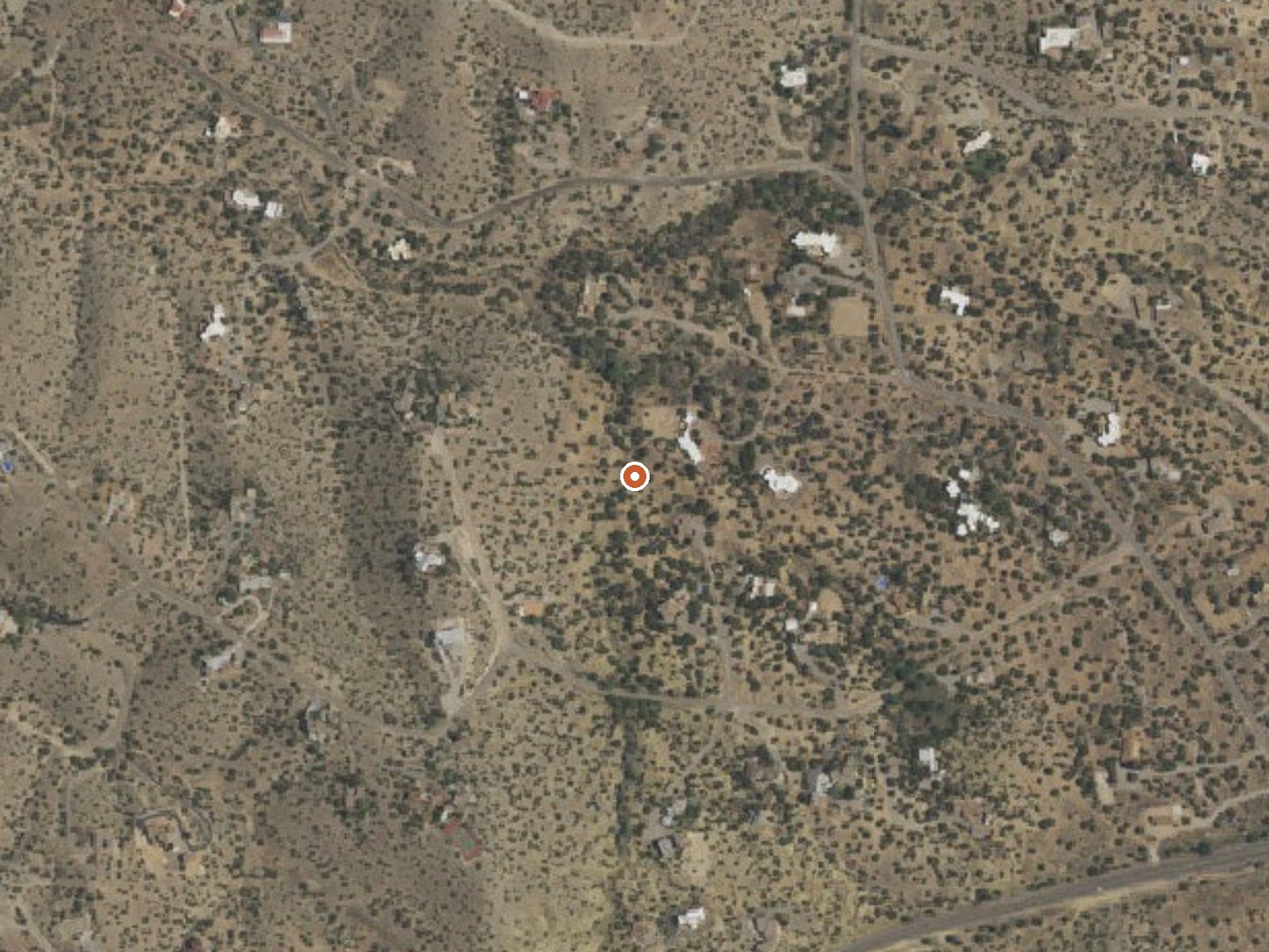
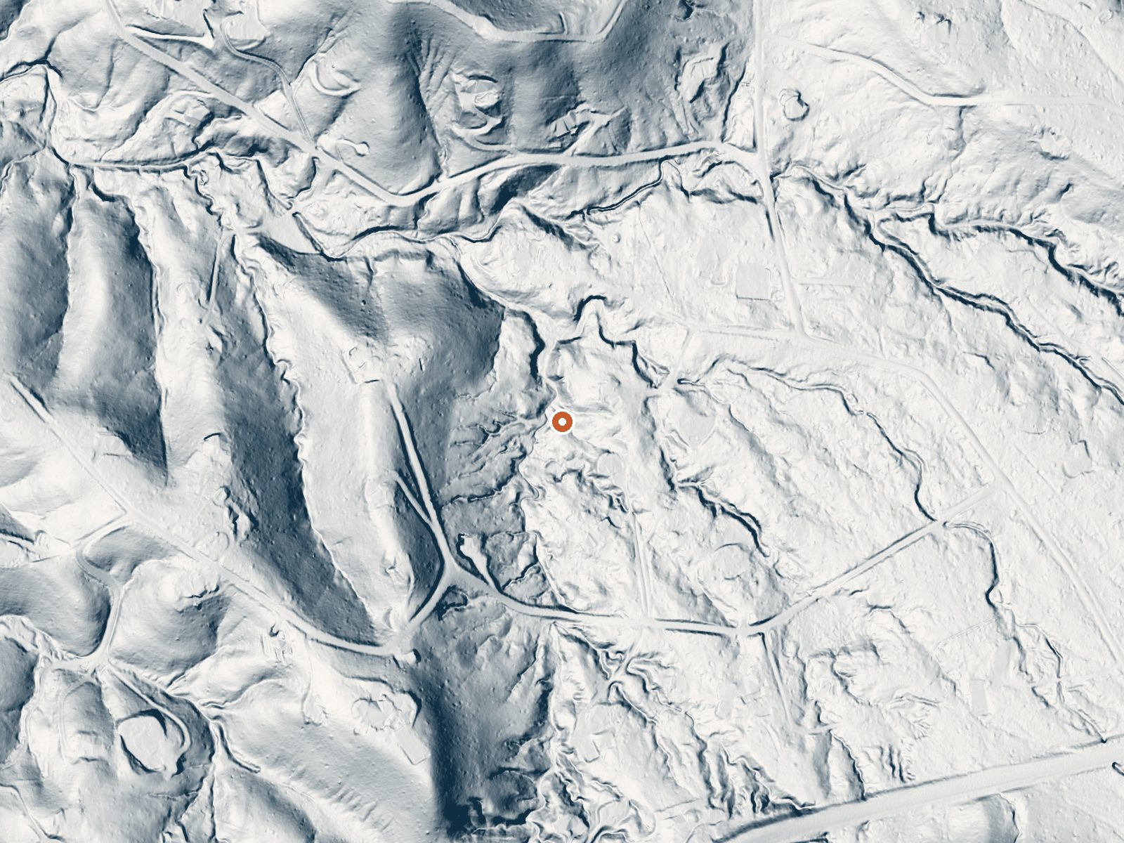
Drag the handle to compare the two views. The orange dot marks the spring, in a frame about three quarters of a mile wide.
An unnamed thermal point in Sandoval County, about two miles from Placitas. Barely warm, upper sixties, the kind of reading that gets a spring into a thermal database without making it worth a drive. Access and owner are unrecorded. USGS sampled it in 1962 and found near neutral water with sodium and chloride and some sulfate.
Under 300 feet from a road the record leaves unnamed, so roadside. Mid elevation near 5,600 feet, some snow, a dry year. Las Huertas Picnic Site is six miles away and is the only camping-adjacent place listed. the record is empty. Mild on average. No photo and no description, which tells you how much attention it has had.
Las Huertas Picnic Site is six miles off. Check land status; two miles from a village usually means private ground nearby. Cold season, per the climate chart. The sample is from 1962. At this temperature there is nothing to soak in, so the visit, if any, is for curiosity.
Aircraft with laser scanners measured this ground to within inches. The scan strips out trees and buildings, leaving the bare shape of the land around this spring.
- Setting
- Valley floor
- Gentle slopes rise on both sides.
- Highest ground nearby
- 160 ft above the spring
- Within a quarter mile, to the southwest
A slice through the ground from northwest to southeast, about 0.6 miles end to end.
Elevation data: USGS 3D Elevation Program. Aerial imagery: USGS The National Map. Public domain.
That's close to the US average of 65. It's higher than at 13% of the springs on this site.
Heat flow measures the warmth working its way up through the ground from deep inside the earth. Where it runs high, rain and snowmelt that seep down through cracks in the rock come back up hot.
See every spring on the geothermal heat map →
Heat flow estimate: Stanford Thermal Earth Model (Aljubran & Horne, 2024), CC BY 4.0.
The water at This spring is slightly alkaline (pH 7.4).
Overview Las Huertas was built by the Civilian Conservation Corps. It is located at the northeast end of the Sandia Ranger District. It is, understandably, a favorite place for many. Las Huertas Creek meanders year round through this recreation site. Pathways and foot bridges lead over the water and through the trees to dispersed picnic tables and grills that are tucked away in the woods. The group site pavilion is a replica of the 1930s Civilian Conservation Corps design. Las Huertas was a s...
this spring sits at 5,644 feet above sea level, way above the mile-high mark. You may not feel the altitude strongly, but hot water still dehydrates you faster at elevation. UV is about 23% stronger than at sea level, so bring sunscreen and drink more water than you normally would.



As an Amazon Associate, we earn from qualifying purchases.
Springs Near This Spring
More Springs Around 68°F
Slightly Alkaline Springs (pH ~7.4)
Hike 5 waterfalls near this spring
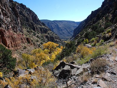
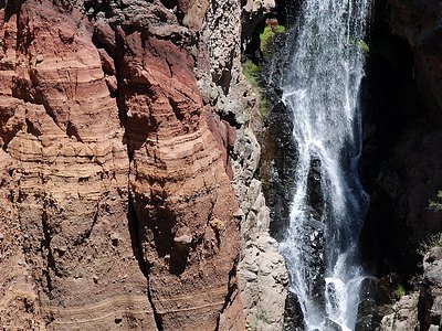

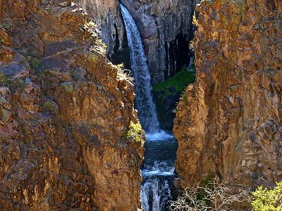
Looking for more outdoor adventures? Explore waterfall hikes near this spring, New Mexico.