Warm Springs
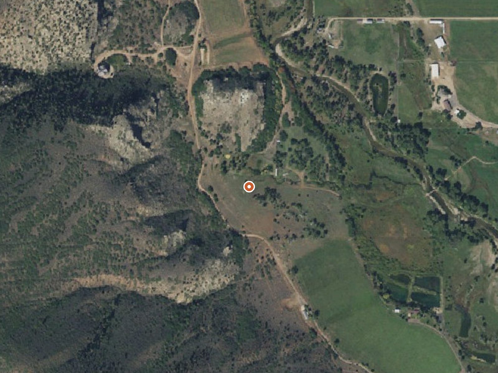
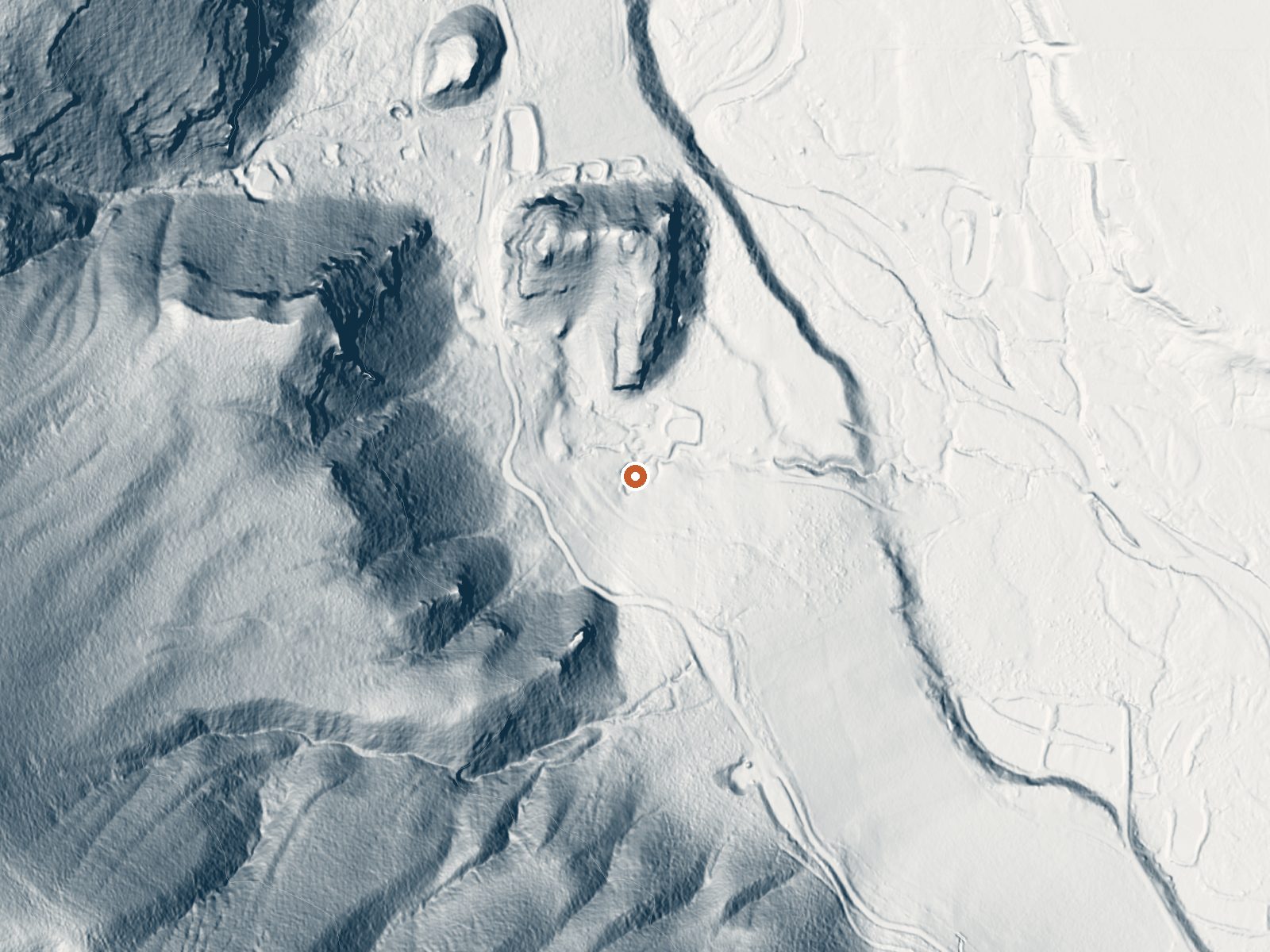
Drag the handle to compare the two views. The orange dot marks the spring, in a frame about three quarters of a mile wide.
Warm Springs in Summit County sits on the Uintah and Ouray Reservation, tribal land, about twenty-six miles from Francis. The water is warm and carries iron among its minerals, according to a 1971 sample. Access is marked unknown, and on tribal land that means the tribe's permission governs, nothing else. The USGS records the site.
High country, a little over seven thousand feet, and one of the snowiest spots here with more than seven feet of snow across a winter and a wet year besides. A road passes within three hundred feet, unnamed on the record. The land designation is Tribal Land, with the owner code DESG and the unit the Uintah and Ouray Reservation. Hades Campground is the nearest listed, about six and a half miles.
Winter is the season on file, though with snow this deep the roadside position may be the only thing that makes a winter visit possible. Before going, contact the reservation's authorities about permission. The chemistry, iron included, dates from 1971.
Aircraft with laser scanners measured this ground to within inches. The scan strips out trees and buildings, leaving the bare shape of the land around Warm Springs.
- Setting
- Hillside
- The spring sits on a steep slope that climbs to the west.
- Highest ground nearby
- 495 ft above the spring
- Within a quarter mile, to the west
A slice through the ground from west to east, about 0.6 miles end to end.
Elevation data: USGS 3D Elevation Program. Aerial imagery: USGS The National Map. Public domain.
That's about 1½ times the US average of 65. It's higher than at 31% of the springs on this site.
Heat flow measures the warmth working its way up through the ground from deep inside the earth. Where it runs high, rain and snowmelt that seep down through cracks in the rock come back up hot.
See every spring on the geothermal heat map →
Heat flow estimate: Stanford Thermal Earth Model (Aljubran & Horne, 2024), CC BY 4.0.
The water at Warm Springs is slightly alkaline (pH 7.4).
Some links are affiliate links. We may earn a commission at no extra cost to you.
Overview Hades Campground is nestled in the scenic North Fork Drainage off Highway 35, about 17 miles from Tabiona, Utah. The North Fork Drainage lies on the southern slope of the beautiful Uinta Mountains in northeastern Utah. Visitors enjoy fly-fishing and exploring the many local trails.Recreation Fishing for brook, brown and rainbow trout is a popular activity on the North Fork Duchesne. Hiking, mountain biking, OHV and horseback riding trails are in the area.Facilities The campground co...
Warm Springs sits at 7,030 feet above sea level, way above the mile-high mark. You may not feel the altitude strongly, but hot water still dehydrates you faster at elevation. UV is about 28% stronger than at sea level, so bring sunscreen and drink more water than you normally would.



As an Amazon Associate, we earn from qualifying purchases.
Warm Springs is road-accessible, so you can bring more gear. Cold air temperatures make a changing robe or warm layers essential.






As an Amazon Associate, we earn from qualifying purchases.
Springs Near Warm Springs
More Springs Around 79°F
Slightly Alkaline Springs (pH ~7.4)
Hike 6 waterfalls near Warm Springs
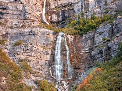
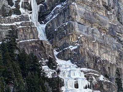
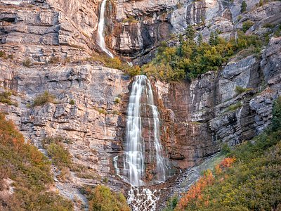
Looking for more outdoor adventures? Explore waterfall hikes near Warm Springs, Utah.