Springs

Recorded only as Springs, this unnamed thermal point sits a mile and a half from Beaver Dam in Mohave County, at the low elevation where Arizona is hot most of the year. The water is warm, high seventies, and a 1988 sample found it slightly acidic with some iron. Ownership and access are not on record.
Fifteen feet from the road, which is to say you can see it from the driver's seat. The elevation is under two thousand feet and the climate matches: seven inches of rain and almost never any snow, with an annual average near seventy. The road is not named in the record, and no land unit or owner is given either.
Visit between December and February; the rest of the year this is hot country. Virgin River Canyon Recreation Area, eight miles or so away, is where the record sends campers. Warm enough to notice, too cool to count as a hot soak. Nobody has recorded the owner, and the chemistry is from a single sample decades old.
Aircraft with laser scanners measured this ground to within inches. The scan strips out trees and buildings, leaving the bare shape of the land around Springs.
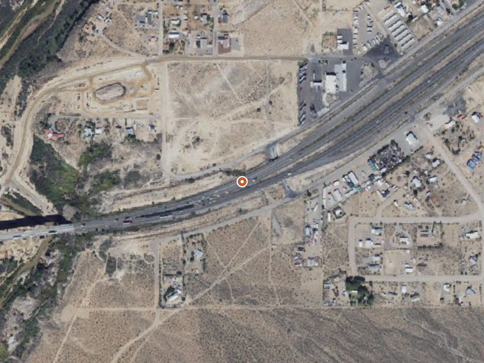
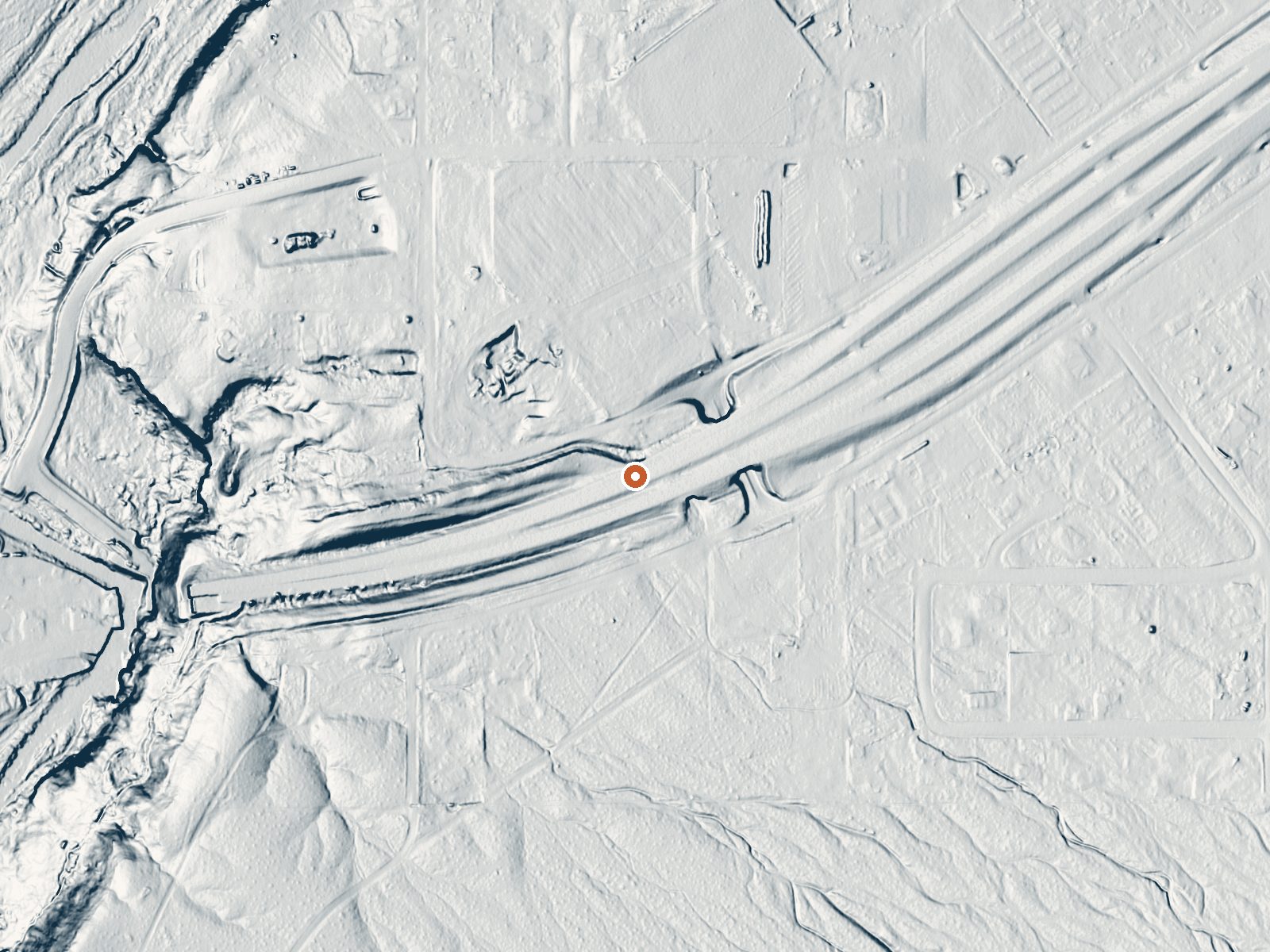
Drag the handle to compare the two views. The orange dot marks the spring, in a frame about three quarters of a mile wide.
- Setting
- Open ground
- Flat, open ground all around.
- Highest ground nearby
- 20 ft above the spring
- Within a quarter mile, to the southeast
A slice through the ground from northwest to southeast, about 0.6 miles end to end.
Elevation data: USGS 3D Elevation Program. Aerial imagery: USGS The National Map. Public domain.
That's about twice the US average of 65. It's higher than at 84% of the springs on this site.
Heat flow measures the warmth working its way up through the ground from deep inside the earth. Where it runs high, rain and snowmelt that seep down through cracks in the rock come back up hot.
See every spring on the geothermal heat map →
Heat flow estimate: Stanford Thermal Earth Model (Aljubran & Horne, 2024), CC BY 4.0.
The water at Springs is slightly acidic (pH 6.6). It is notably rich in calcium (may support bone density and joint health), magnesium (known for muscle relaxation and stress relief), and sodium (supports circulation and skin hydration).
Some links are affiliate links. We may earn a commission at no extra cost to you.
Overview The Virgin River Canyon Recreation Area is located along Interstate 15 approximately 20 miles southwest of St. George, Utah and approximately 20 miles northeast of Mesquite, Nevada. It's accessed from the Cedar Pocket Exit (mile post 18). The overnight-use fee is $8 per site per night and the day-use fee is $2 per vehicle. Overnight use is limited to 14-night stays. The recreation area currently has 25 of the best sites only available through recreation.gov reservations. The remaini...
Springs is road-accessible, so you can bring more gear. Bring sun protection for exposed soaking.



As an Amazon Associate, we earn from qualifying purchases.
Springs Near Springs
More Springs Around 79°F
Slightly Acidic Springs (pH ~6.6)
Hike 1 waterfall near Springs
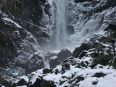
Looking for more outdoor adventures? Explore waterfall hikes near Springs, Arizona.