Warm Spring
Warm Spring, the Washington County one, rises right beside a road on the outskirts of the town of Washington, a mile and a half out. The water is tepid. Unusually for this part of the record, the chemistry was sampled in 2004, so the figures on the page are recent enough to trust. The USGS lists it and there is a photo on file. Owner and access are blank.
The spring is roadside in the plainest sense, a few feet from an unnamed road. This is the low desert corner of Utah, under three thousand feet, where snow hardly ever falls and the year sees about eight inches of precipitation. Nothing in the record identifies the land owner or any managing unit.
December through February is the listed window, which here means mild winter days. Red Cliffs Campground is about eight miles away. The 2004 sample gives modest minerals and a slightly alkaline pH. Since access is not recorded and the spring is this close to town, find out whose ground it is before stopping.
Aircraft with laser scanners measured this ground to within inches. The scan strips out trees and buildings, leaving the bare shape of the land around Warm Spring.
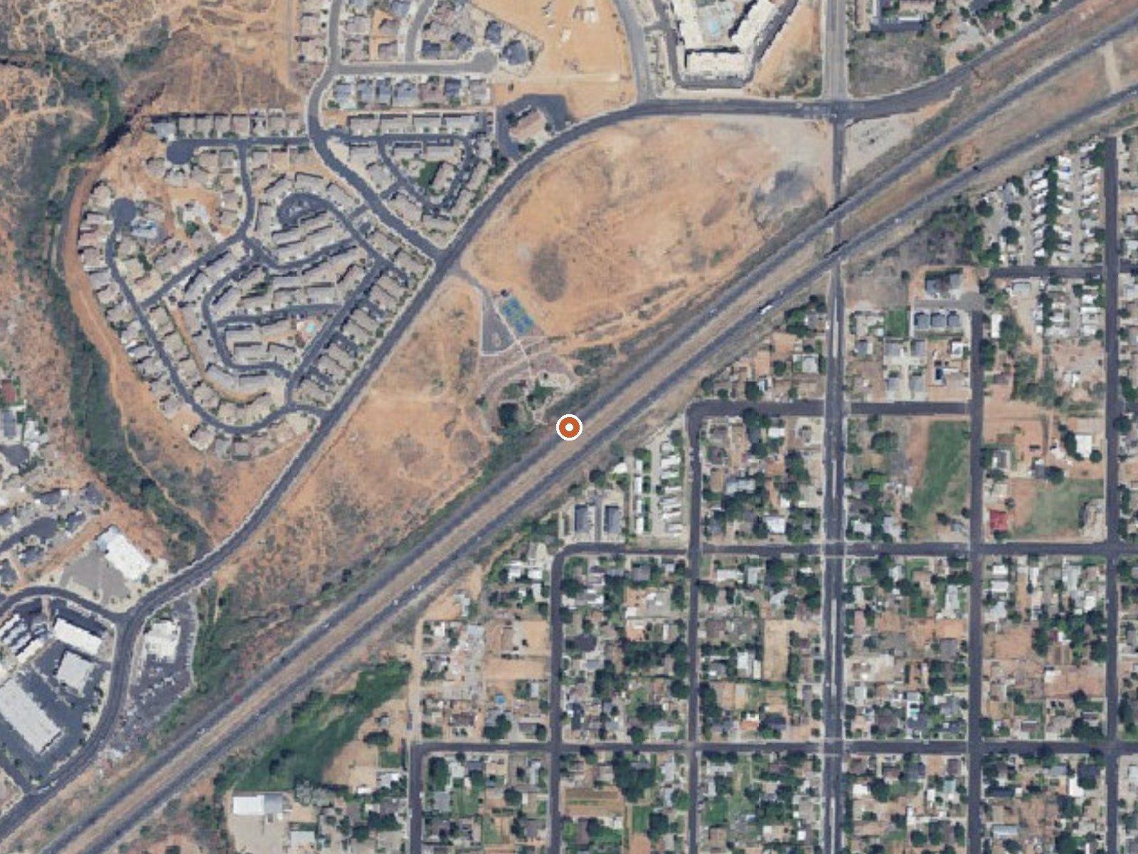
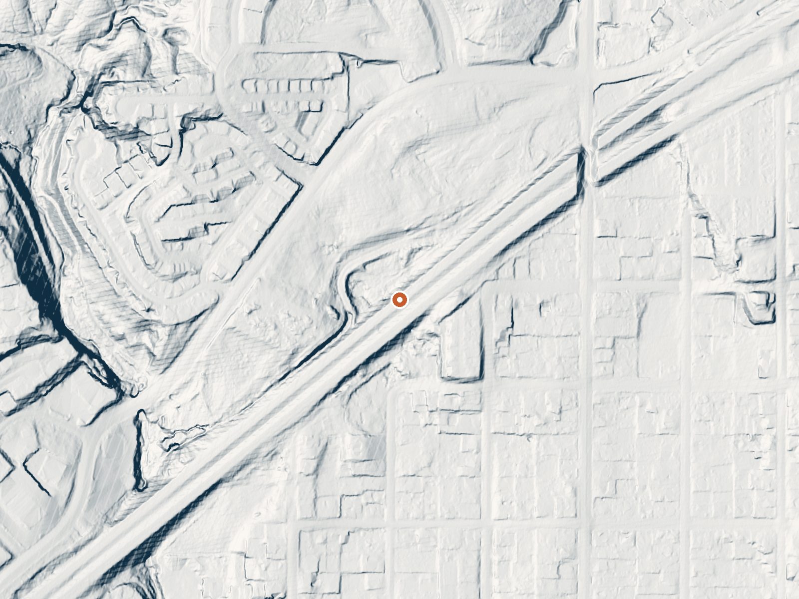
Drag the handle to compare the two views. The orange dot marks the spring, in a frame about three quarters of a mile wide.
- Setting
- Open ground
- Flat, open ground all around.
- Highest ground nearby
- 56 ft above the spring
- Within a quarter mile, to the northwest
A slice through the ground from north to south, about 0.6 miles end to end.
Elevation data: USGS 3D Elevation Program. Aerial imagery: USGS The National Map. Public domain.
That's about 1½ times the US average of 65. It's higher than at 33% of the springs on this site.
Heat flow measures the warmth working its way up through the ground from deep inside the earth. Where it runs high, rain and snowmelt that seep down through cracks in the rock come back up hot.
See every spring on the geothermal heat map →
Heat flow estimate: Stanford Thermal Earth Model (Aljubran & Horne, 2024), CC BY 4.0.
The water at Warm Spring is slightly alkaline (pH 8.0) with 341 mg/L total dissolved solids.
Some links are affiliate links. We may earn a commission at no extra cost to you.
Overview Red Cliffs Recreation Area includes a campground, day use areas, a non-motorized trail system, and interpreted public use sites. Dinosaurs left their footprints, now visible in the sandstone. Ancestral Puebloans lived here in the 10th century, growing corn, beans, and squash along Quail and Leeds Creek. Mid-19th century pioneers farmed here, supplying the area’s silver miners with food. Located within the Red Cliffs National Conservation Area, the Recreation Area is managed to cons...
Warm Spring is road-accessible, so you can bring more gear.




As an Amazon Associate, we earn from qualifying purchases.
Springs Near Warm Spring
More Springs Around 75°F
Slightly Alkaline Springs (pH ~8.0)
Hike 3 waterfalls near Warm Spring
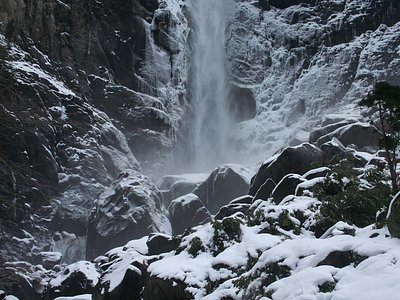
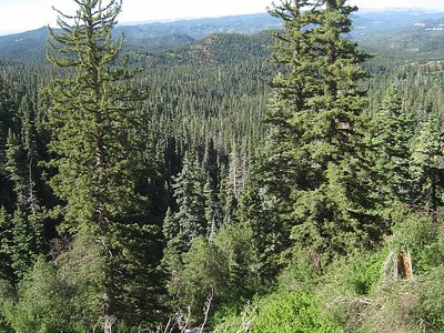
Looking for more outdoor adventures? Explore waterfall hikes near Warm Spring, Utah.