Jacumba Hot Springs
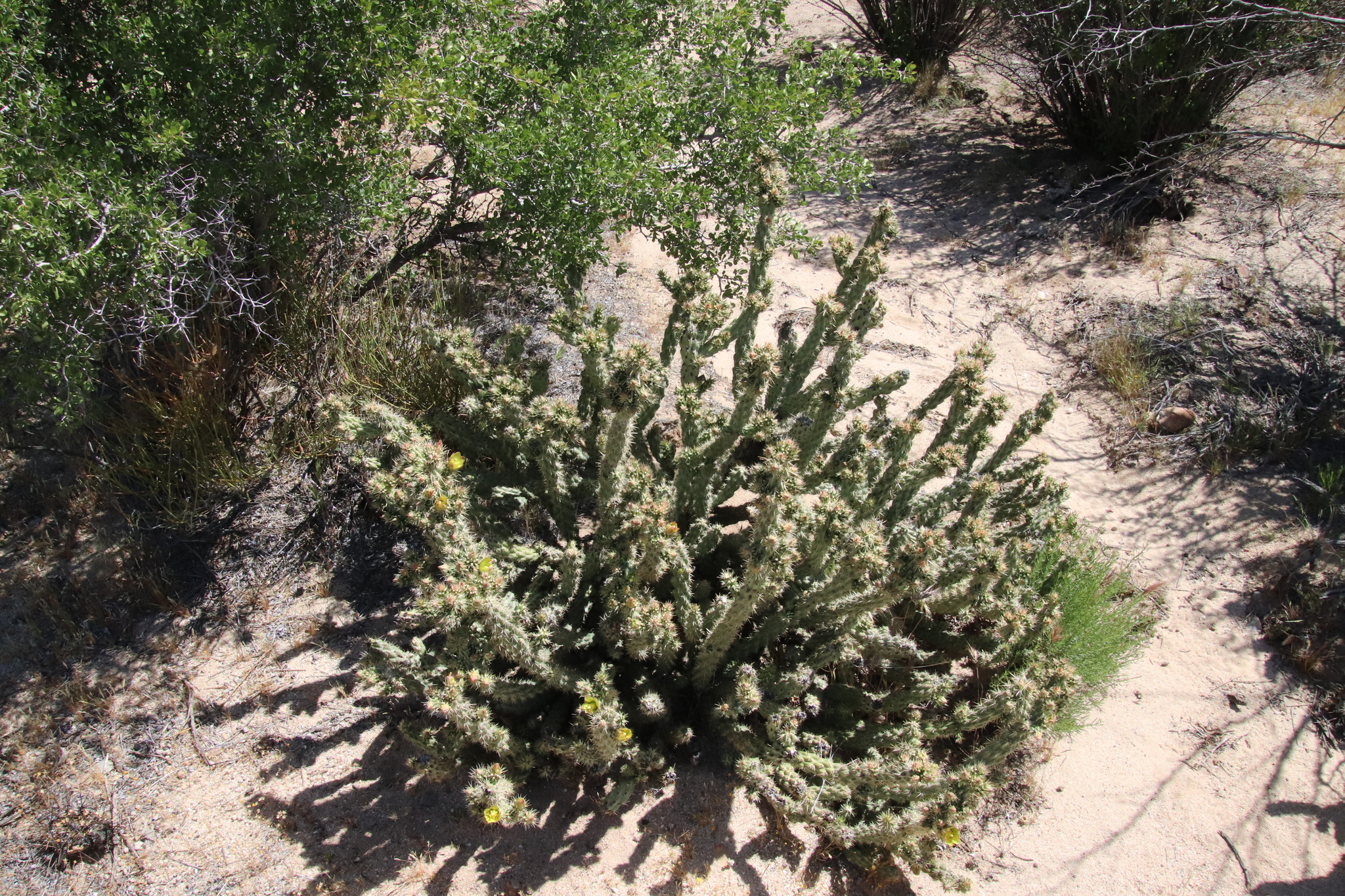
Jacumba Hot Springs shares its name with the small border community around it. The water is on the low side of soaking warm, about body temperature and a little more. It lies right off Railroad Street, a short distance from the road. The record files it under Tecate with Cereso del Hongo as the nearest town, while Wikipedia places the community of Jacumba Hot Springs in southeastern San Diego County. Ownership and access are not on file.
Roadside, about eighty feet from Railroad Street. The elevation is a bit under three thousand feet in dry country, nine inches of annual precipitation and a dusting of snow at most. Cottonwood Campground lies fifteen miles away. Railroad Street is the only road named on file.
Timing on record favors the winter months. The temperature is comfortable for soaking and needs no warning. Access is the open question: the record is silent on owner and status, so find out locally before treating it as public. An image is on record. Chemistry and fee go unrecorded. The USGS has not listed it.
The community takes the name Jacumba Hot Springs, pronounced hə-KOOM-bə, and sits in the Mountain Empire area of southeastern San Diego County. The Census Bureau first counted it as a census-designated place in 2010, at 561 people, and found 540 in 2020.
Aircraft with laser scanners measured this ground to within inches. The scan strips out trees and buildings, leaving the bare shape of the land around Jacumba Hot Springs.
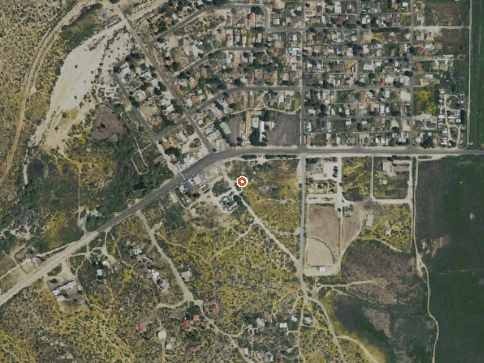
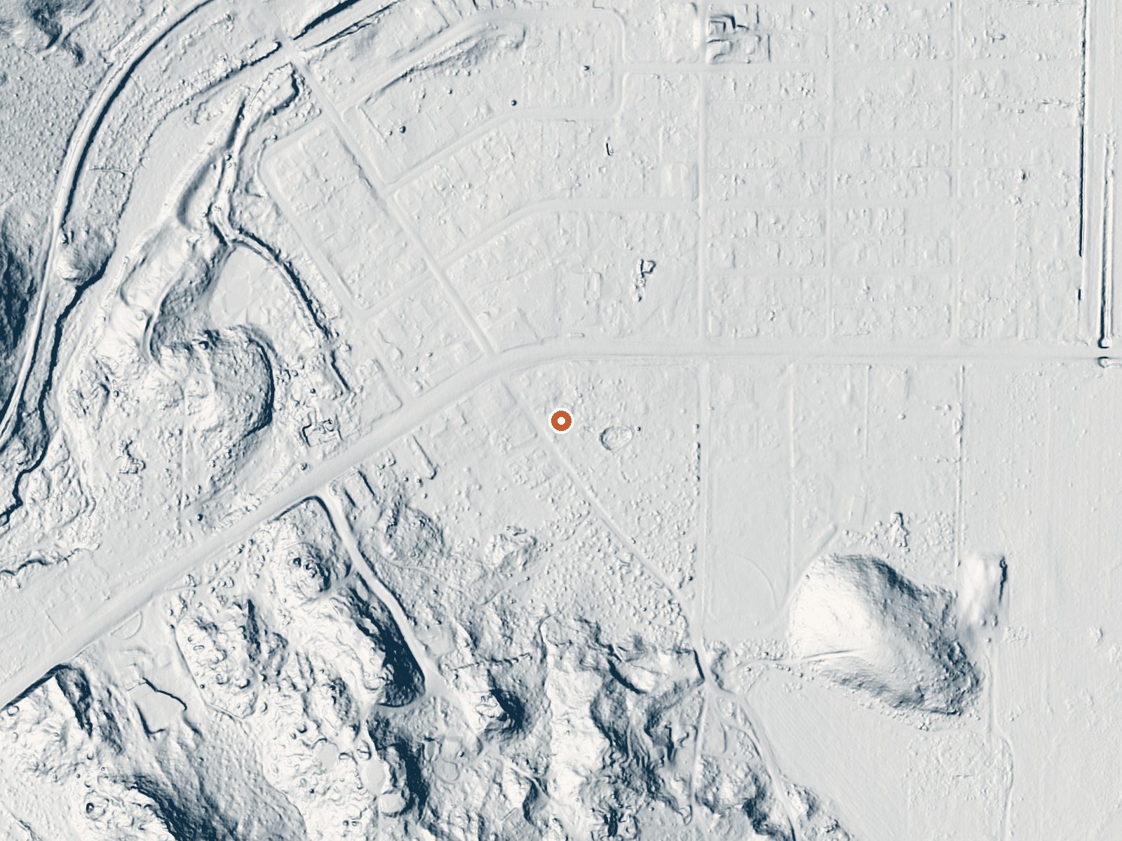
Drag the handle to compare the two views. The orange dot marks the spring, in a frame about three quarters of a mile wide.
- Setting
- Open ground
- Flat, open ground all around.
- Highest ground nearby
- 69 ft above the spring
- Within a quarter mile, to the southwest
A slice through the ground from southwest to northeast, about 0.6 miles end to end.
Elevation data: USGS 3D Elevation Program. Aerial imagery: USGS The National Map. Public domain.
That's close to the US average of 65. It's higher than at 8% of the springs on this site.
Heat flow measures the warmth working its way up through the ground from deep inside the earth. Where it runs high, rain and snowmelt that seep down through cracks in the rock come back up hot.
See every spring on the geothermal heat map →
Heat flow estimate: Stanford Thermal Earth Model (Aljubran & Horne, 2024), CC BY 4.0.
Some links are affiliate links. We may earn a commission at no extra cost to you.
Among the live oaks in southeastern San Diego County is Cottonwood Campground. The campground offers a tranquil and refreshing experience. Cottonwood Campground is an excellent starting point for day hikes, overnight backpacking trips, and equestrian use. The campground is located in the McCain Valley Resource Conservation Area. A trail out of the campground leads to the Sombrero Peak Area, Upper Bow Willow Canyon, and Anza-Borrego Desert State Park. The Pepperwood Trail and Sombrero Peak Tra...
Jacumba Hot Springs is road-accessible, so you can bring more gear. Bring sun protection for exposed soaking.




As an Amazon Associate, we earn from qualifying purchases.
Springs Near Jacumba Hot Springs
More Springs Around 101°F
Hike 5 waterfalls near Jacumba Hot Springs
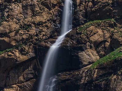
Looking for more outdoor adventures? Explore waterfall hikes near Jacumba Hot Springs, California.