San Antonio Warm Spring
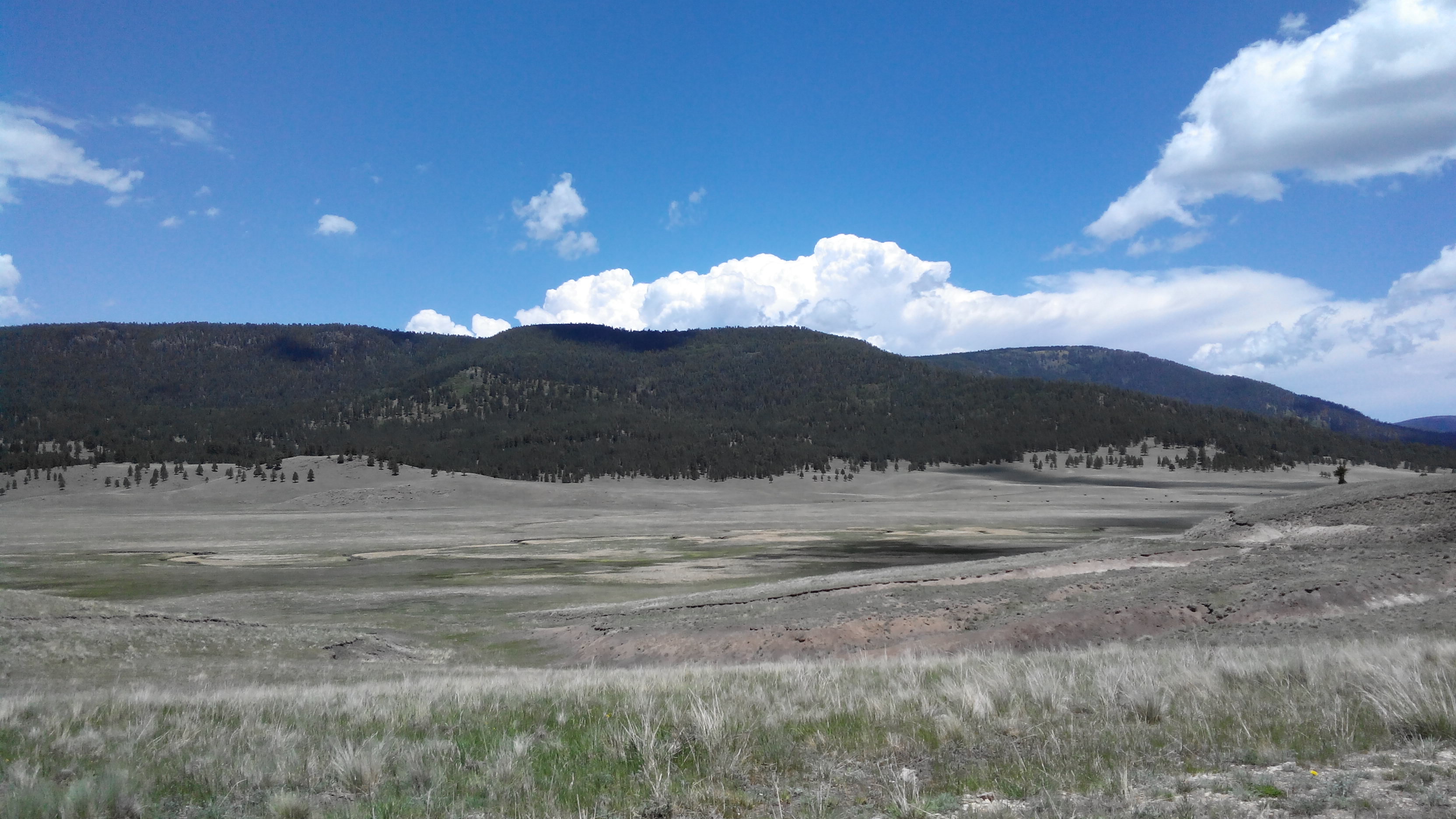
Inside Valles Caldera National Preserve, on National Park Service ground in Rio Arriba County, San Antonio Warm Spring runs soaking warm, a touch over body heat, and the record shows public access as open. The nearest town on file is Santa Teresa, which the record puts nearly three hundred miles away, so that entry is no help for planning. A photo exists.
High mountain country, over eight thousand feet, with deep winter snow and a wet year. The road is close, under fifty yards, so the approach is roadside. The land designation is National Conservation Area. San Antonio Campground is around eight miles away. Average temperatures are cold. No fee appears on the record.
On paper the best months run through the heart of winter, though the snow totals say summer and fall are when the road is open. Camp at San Antonio Campground. The preserve is National Park Service land; check its rules and any entry fee, since none is recorded here. The sample is from 1947, the oldest kind of figure, so do not bank on the temperature.
Valles Caldera National Preserve surrounds it. The Park Service runs the unit, though the designation attached to it reads National Conservation Area. USGS surveyors sampled the spring in 1947 and logged it as thermal.
Aircraft with laser scanners measured this ground to within inches. The scan strips out trees and buildings, leaving the bare shape of the land around San Antonio Warm Spring.
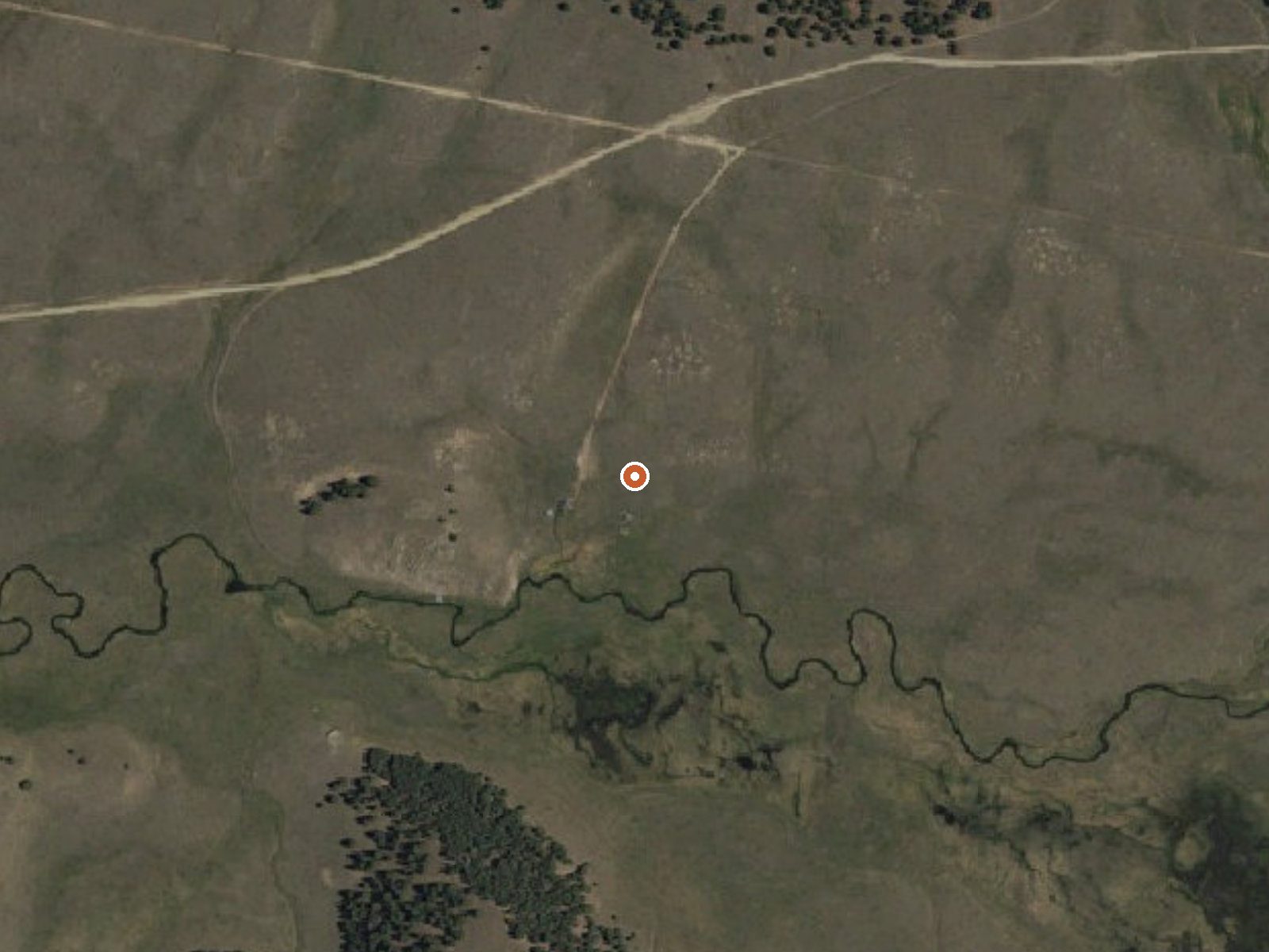
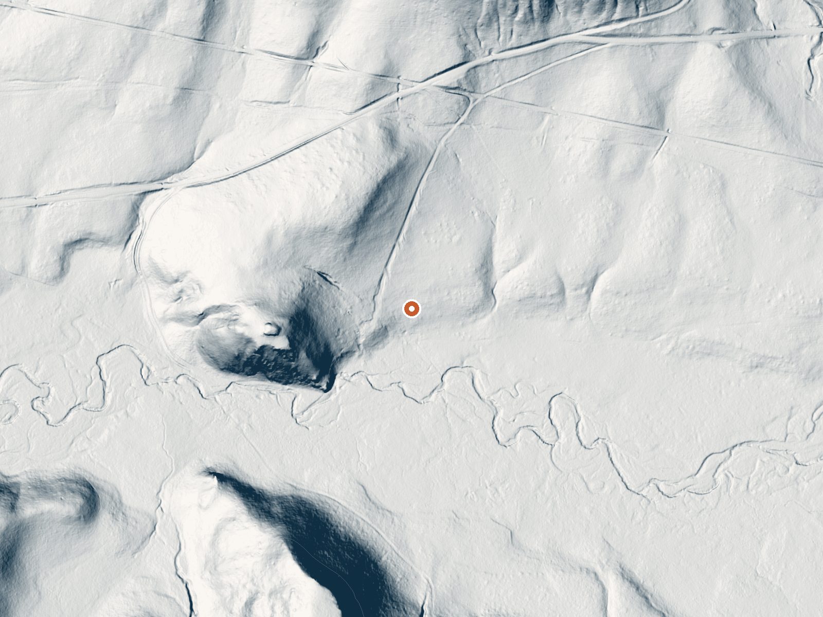
Drag the handle to compare the two views. The orange dot marks the spring, in a frame about three quarters of a mile wide.
- Setting
- Valley floor
- Gentle slopes rise on both sides.
- Highest ground nearby
- 122 ft above the spring
- Within a quarter mile, to the southwest
A slice through the ground from north to south, about 0.6 miles end to end.
Elevation data: USGS 3D Elevation Program. Aerial imagery: USGS The National Map. Public domain.
That's about 2½ times the US average of 65. It's higher than at 97% of the springs on this site.
Heat flow measures the warmth working its way up through the ground from deep inside the earth. Where it runs high, rain and snowmelt that seep down through cracks in the rock come back up hot.
See every spring on the geothermal heat map →
Heat flow estimate: Stanford Thermal Earth Model (Aljubran & Horne, 2024), CC BY 4.0.
The water at San Antonio Warm Spring is slightly acidic (pH 6.7).
Some links are affiliate links. We may earn a commission at no extra cost to you.
Overview San Antonio Campground is adjacent to the San Antonio River, tucked into a forest of ponderosa pine at 7,600 feet above sea level. This popular campground is open from May through October in the Santa Fe National Forest. Visitors should be prepared for hot summer days and cool nights. San Antonio Campground was completely rebuilt and reopened in August 2010. It is designated as a reduced impact and recycle campground.Recreation A paved walking trail along the river provides access f...
At 8,431 feet, San Antonio Warm Spring is in high-altitude territory where the air is noticeably thinner. Soaking in hot water accelerates dehydration and can amplify altitude effects like headache and fatigue. UV radiation is roughly 34% stronger here. Wear sunscreen even on overcast days and take breaks from the water to rehydrate.




As an Amazon Associate, we earn from qualifying purchases.
San Antonio Warm Spring is road-accessible, so you can bring more gear. Cold air temperatures make a changing robe or warm layers essential.






As an Amazon Associate, we earn from qualifying purchases.
Springs Near San Antonio Warm Spring
More Springs Around 101°F
Slightly Acidic Springs (pH ~6.7)
Hike 6 waterfalls near San Antonio Warm Spring

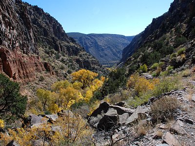
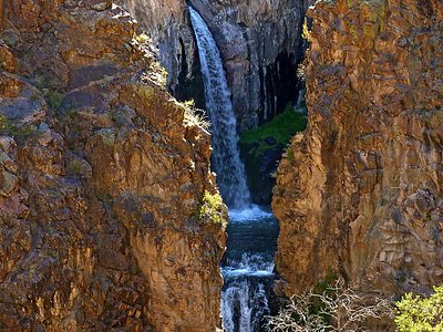
Looking for more outdoor adventures? Explore waterfall hikes near San Antonio Warm Spring, New Mexico.