Stinking Springs
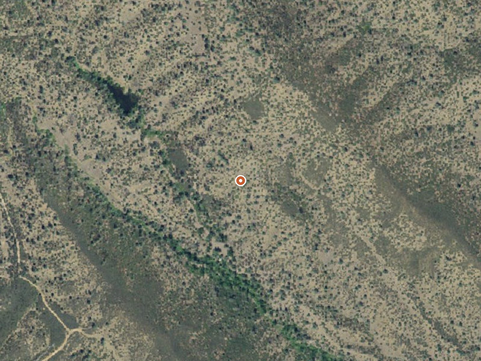
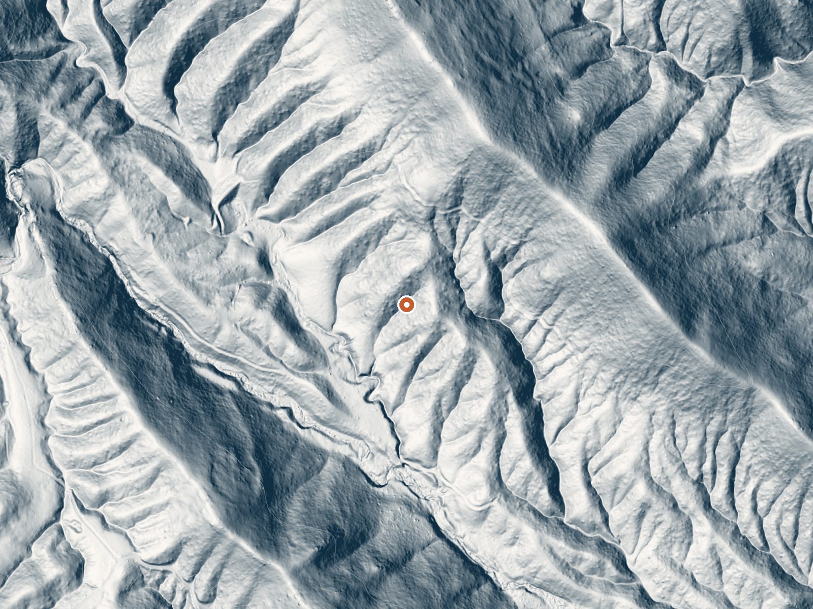
Drag the handle to compare the two views. The orange dot marks the spring, in a frame about three quarters of a mile wide.
Stinking Springs, in Tehama County, is soaking temperature, about what a hot bath feels like, and it lies twenty-two miles or so from Rancho Tehama Reserve. Halley Grade gets you within a tenth of a mile. Owner and access are both unrecorded. The Wikipedia page attached to this record describes a different Stinking Springs in Utah, so it tells you nothing about this one.
Foothill country around 1,500 feet, warm most of the year, with a wet winter and a little snow, under twenty inches. The last stretch from Halley Grade is on foot. There is no land manager attached to this point and no designation either. Post Creek Guard Station is the nearest camp on the list, nine miles out.
December through February are the listed best months. The walk from Halley Grade is short. Camp at Post Creek Guard Station if you need to, about nine miles away. Nothing is on file about public access or a fee, and ownership is blank, so assume you need to confirm you are allowed to be there.
Aircraft with laser scanners measured this ground to within inches. The scan strips out trees and buildings, leaving the bare shape of the land around Stinking Springs.
- Setting
- Canyon floor
- Steep ground climbs away on both sides of the spring.
- Highest ground nearby
- 306 ft above the spring
- Within a quarter mile, to the north
A slice through the ground from northwest to southeast, about 0.6 miles end to end.
Elevation data: USGS 3D Elevation Program. Aerial imagery: USGS The National Map. Public domain.
That's about twice the US average of 65. It's higher than at 76% of the springs on this site.
Heat flow measures the warmth working its way up through the ground from deep inside the earth. Where it runs high, rain and snowmelt that seep down through cracks in the rock come back up hot.
See every spring on the geothermal heat map →
Heat flow estimate: Stanford Thermal Earth Model (Aljubran & Horne, 2024), CC BY 4.0.
Some links are affiliate links. We may earn a commission at no extra cost to you.
Overview Post Creek Guard Station was built in 1934 by the Civilian Conservation Corps for use as a wildfire lookout. It is now available for recreational use. This historic guard station is eligible for inclusion to the National Register of Historic Places. Guests can drive to Post Creek Guard Station, though much of the trip is on gravel Forest roads, depending upon which route is chosen. This charming cabin offers beautiful views of the nearby mountains and forest. Some amenities are pr...
Stinking Springs is road-accessible, so you can bring more gear.






As an Amazon Associate, we earn from qualifying purchases.
Springs Near Stinking Springs
More Springs Around 101°F
Hike 4 waterfalls near Stinking Springs
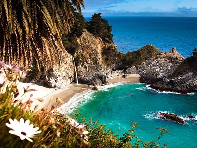
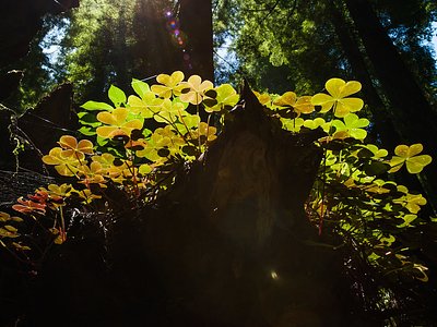
Looking for more outdoor adventures? Explore waterfall hikes near Stinking Springs, California.