Travertine Springs

Inside Death Valley National Park, Travertine Springs is a warm spring at low desert elevation, close to Highway 190. The nearest town on file is Beatty, about fifty miles away, and the site is filed under Nye County. Water comes out at ninety degrees, bath warm, and the park lists access as open. It appears in the USGS thermal inventory, and the chemistry sample dates back decades, which makes the numbers on this page old.
This one is a short walk off Highway 190, under five hundred feet, on National Park Service land with no fee on record. Elevation is only a few hundred feet, desert floor. Snow does not fall here in any measurable amount and the whole year brings about four inches of rain, so the practical weather problem is summer heat.
Plan for December into February. Summer heat here is serious, even for a short walk. Backcountry roadside camping is the camping listed, a couple of miles away, under park rules. The water chemistry comes from a decades-old sample, so treat pH and mineral figures as historical. Check current park rules on soaking before you go.
The chemistry shown comes from a sample the USGS took in January 1985 at the monitoring site it keeps here.
Aircraft with laser scanners measured this ground to within inches. The scan strips out trees and buildings, leaving the bare shape of the land around Travertine Springs.
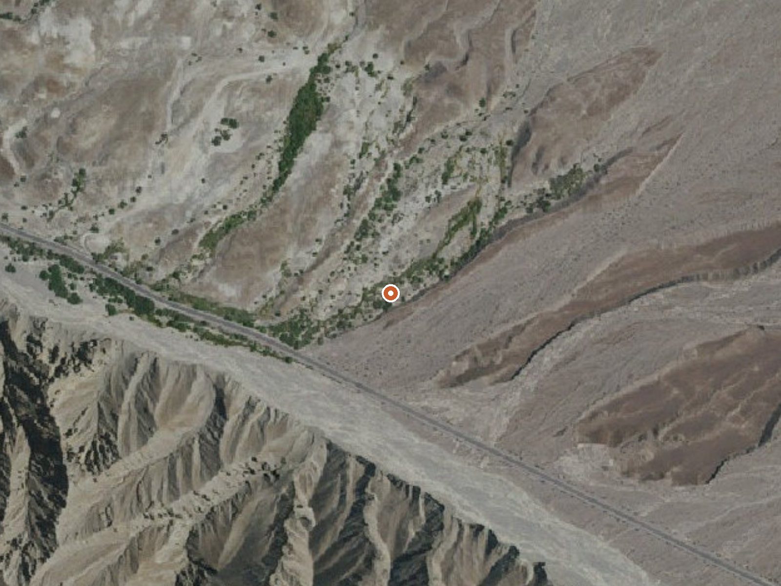
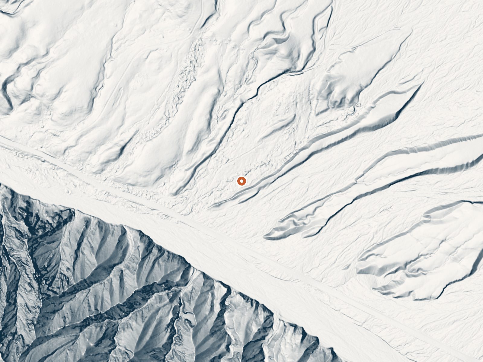
Drag the handle to compare the two views. The orange dot marks the spring, in a frame about three quarters of a mile wide.
- Setting
- Valley floor
- Gentle slopes rise on both sides.
- Highest ground nearby
- 148 ft above the spring
- Within a quarter mile, to the southwest
A slice through the ground from west to east, about 0.6 miles end to end.
Elevation data: USGS 3D Elevation Program. Aerial imagery: USGS The National Map. Public domain.
That's about 1½ times the US average of 65. It's higher than at 32% of the springs on this site.
Heat flow measures the warmth working its way up through the ground from deep inside the earth. Where it runs high, rain and snowmelt that seep down through cracks in the rock come back up hot.
See every spring on the geothermal heat map →
Heat flow estimate: Stanford Thermal Earth Model (Aljubran & Horne, 2024), CC BY 4.0.
The water at Travertine Springs is slightly alkaline (pH 7.8).
Some links are affiliate links. We may earn a commission at no extra cost to you.
Overview PLEASE BE AWARE:These are primitive sites that do not offer water, electricity, toilet access, or any amenities. Most primitive roadside campsites require a high clearance vehicle, and 4-wheel drive is highly encouraged. Road conditions can change quickly. High clearance vehicles are defined as a SUV or truck with at least 15 inch tire rims AND at least 8 inches of ground clearance from the lowest point of the frame, body, or suspension. Despite its morbid name, a great diversity of...
Travertine Springs is road-accessible, so you can bring more gear. Bring sun protection for exposed soaking.




As an Amazon Associate, we earn from qualifying purchases.
Springs Near Travertine Springs
More Springs Around 90°F
Slightly Alkaline Springs (pH ~7.8)
Hike 2 waterfalls near Travertine Springs
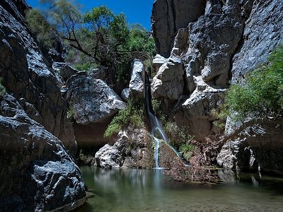

Looking for more outdoor adventures? Explore waterfall hikes near Travertine Springs, California.