Nevares Springs
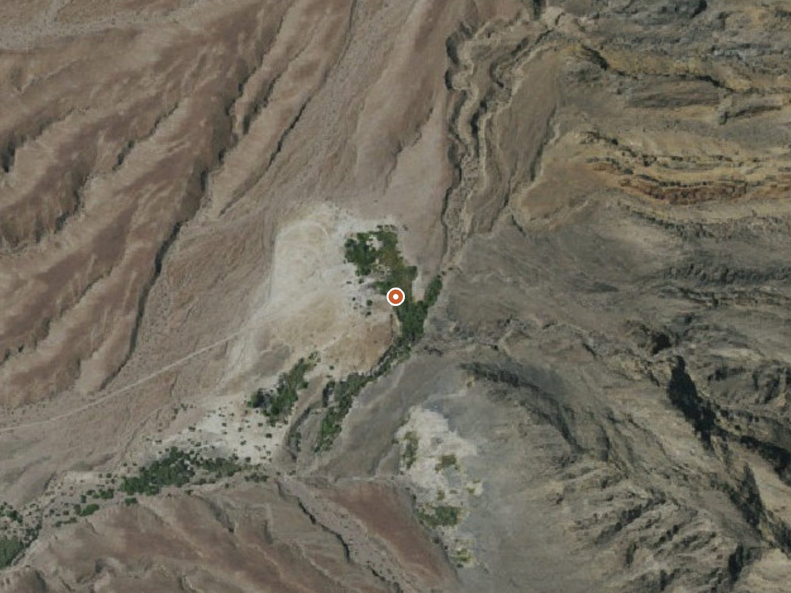
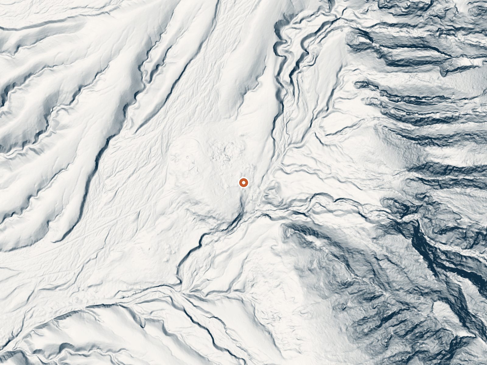
Drag the handle to compare the two views. The orange dot marks the spring, in a frame about three quarters of a mile wide.
Nevares Springs is a warm spring inside Death Valley National Park, a few miles from Furnace Creek, with the nearest town, Beatty, nearly fifty miles off. The water is soaking warm, a touch above body heat. The public may enter and the National Park Service holds the land. Park rules govern what you may do at a spring, and the record does not say if soaking is permitted.
Roadside, a few hundred feet from an unidentified park road. The spring sits under a thousand feet of elevation. Desert climate here, three inches of annual rain, and snow is not a factor. Furnace Creek campground is about four miles out.
Winter is what the record recommends, December through February, and the park's summer heat makes that advice easy to follow. Camp at Furnace Creek, the nearest on file. Access is open. Check current park regulations on entering springs before you count on a soak; nothing on record says it is allowed. Watch for any entry fee to the park itself; the record does not list one.
The USGS tracks Nevares Springs under site 363043116491401. It lies within Death Valley National Park.
Aircraft with laser scanners measured this ground to within inches. The scan strips out trees and buildings, leaving the bare shape of the land around Nevares Springs.
- Setting
- Hillside
- The spring sits on a steep slope that climbs to the southeast.
- Highest ground nearby
- 289 ft above the spring
- Within a quarter mile, to the southeast
A slice through the ground from northwest to southeast, about 0.6 miles end to end.
Elevation data: USGS 3D Elevation Program. Aerial imagery: USGS The National Map. Public domain.
That's about 1½ times the US average of 65. It's higher than at 35% of the springs on this site.
Heat flow measures the warmth working its way up through the ground from deep inside the earth. Where it runs high, rain and snowmelt that seep down through cracks in the rock come back up hot.
See every spring on the geothermal heat map →
Heat flow estimate: Stanford Thermal Earth Model (Aljubran & Horne, 2024), CC BY 4.0.
Some links are affiliate links. We may earn a commission at no extra cost to you.
Overview Furnace Creek Campground is the only NPS campground in the park that is reservable. All other NPS campgrounds operate on a first-come, first-serve basis.PLEASE NOTE: The actual availability of any first-come, first served-sites (FF) IS NOT reflected on the Recreation.gov website in real time.Advance reservations are highly recommended for Furnace Creek Campground during the reservation window (October 15 - April 15). First-come, first-served sites (FF) at Furnace Creek Campground ar...
Nevares Springs is road-accessible, so you can bring more gear. Bring sun protection for exposed soaking.



As an Amazon Associate, we earn from qualifying purchases.
Springs Near Nevares Springs
More Springs Around 102°F
Hike 2 waterfalls near Nevares Springs
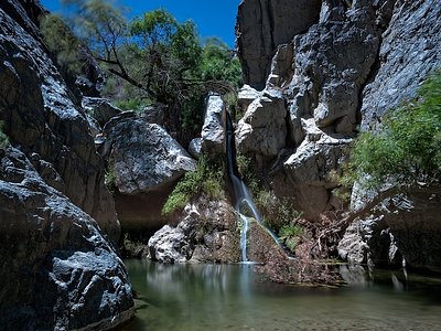
Looking for more outdoor adventures? Explore waterfall hikes near Nevares Springs, California.