Ojitos Springs
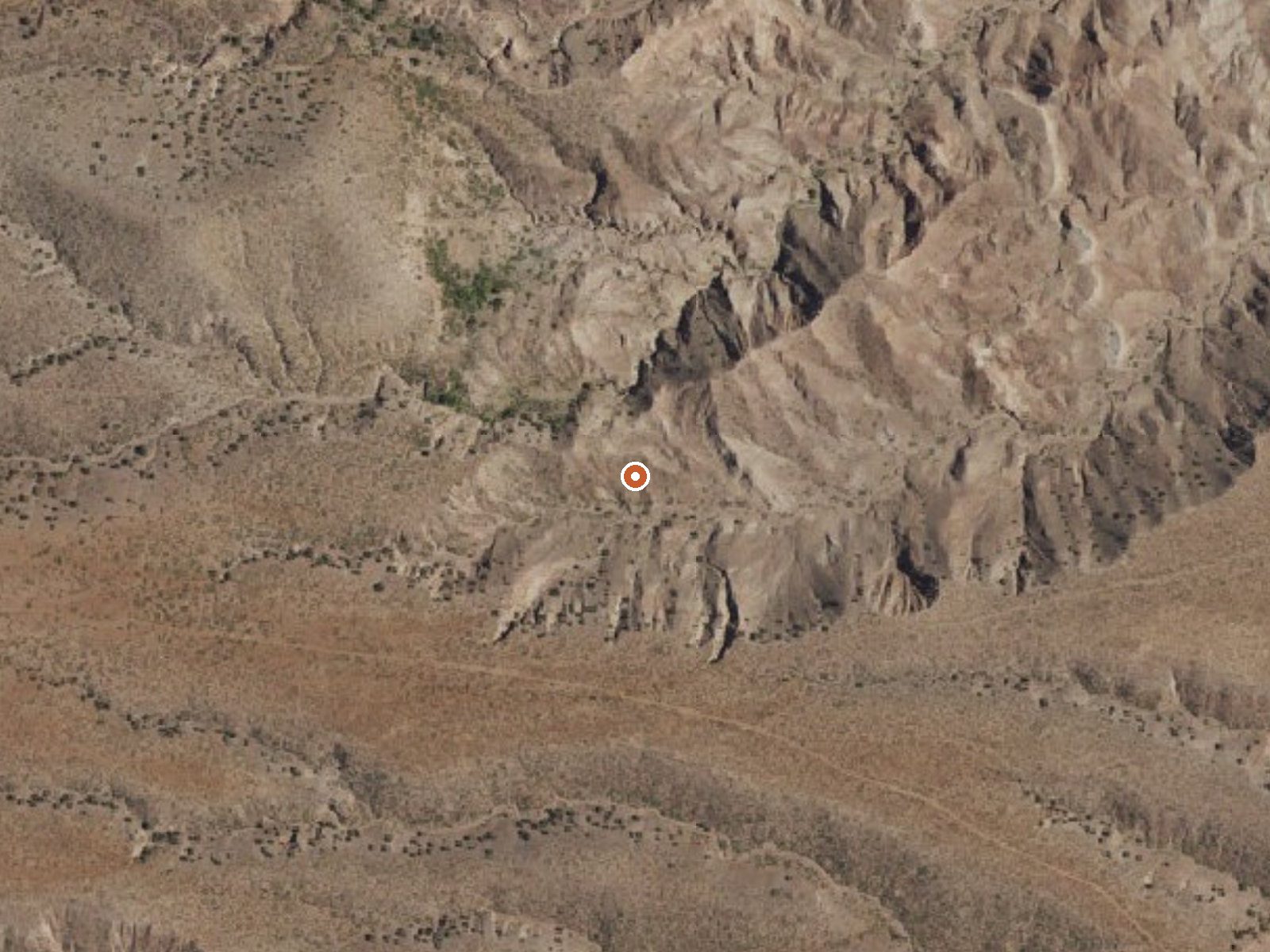
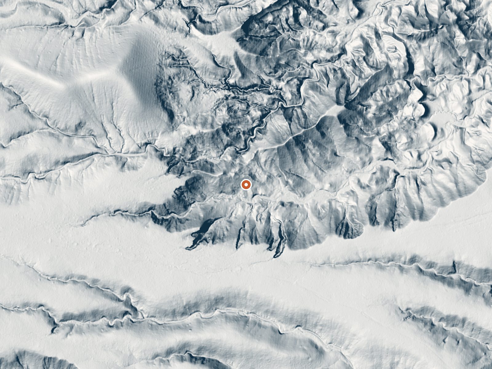
Drag the handle to compare the two views. The orange dot marks the spring, in a frame about three quarters of a mile wide.
Ojitos Springs earns a spot on the thermal map and nothing more. It is in Socorro County, about six miles from Socorro and a real walk from any road, and the water is below seventy degrees, cooler than skin, so it is no kind of soak. Nobody's name is on the land in the record, and access is not stated.
Getting there takes a hike of a mile and three quarters or so from the nearest road, nameless on file. Elevation is moderate, above the valley floor. The climate is dry, with light snow in winter and mild averages. Water Canyon Campground is the camp on record, roughly eleven miles distant. No land unit is recorded.
The best-season note points to winter, and snow is light, so that is a fair window, with the hike easier in cool weather. The chemistry dates to 1977. The record names no owner and does not state whether visitors are allowed, so treat the ground as private until you learn otherwise. Water Canyon is the camp if you need one.
Aircraft with laser scanners measured this ground to within inches. The scan strips out trees and buildings, leaving the bare shape of the land around Ojitos Springs.
- Setting
- Hillside
- The spring sits on a steep slope that climbs to the northwest.
- Highest ground nearby
- 194 ft above the spring
- Within a quarter mile, to the northwest
A slice through the ground from northwest to southeast, about 0.6 miles end to end.
Elevation data: USGS 3D Elevation Program. Aerial imagery: USGS The National Map. Public domain.
That's about 1½ times the US average of 65. It's higher than at 24% of the springs on this site.
Heat flow measures the warmth working its way up through the ground from deep inside the earth. Where it runs high, rain and snowmelt that seep down through cracks in the rock come back up hot.
See every spring on the geothermal heat map →
Heat flow estimate: Stanford Thermal Earth Model (Aljubran & Horne, 2024), CC BY 4.0.
The water at Ojitos Springs is slightly alkaline (pH 8.0). It is notably rich in calcium (may support bone density and joint health) and sulfate (traditionally used for skin conditions and inflammation).
This campground is located at an elevation of 6,800 feet in the Magdalena Mountains.