Unnamed Thermal Spring
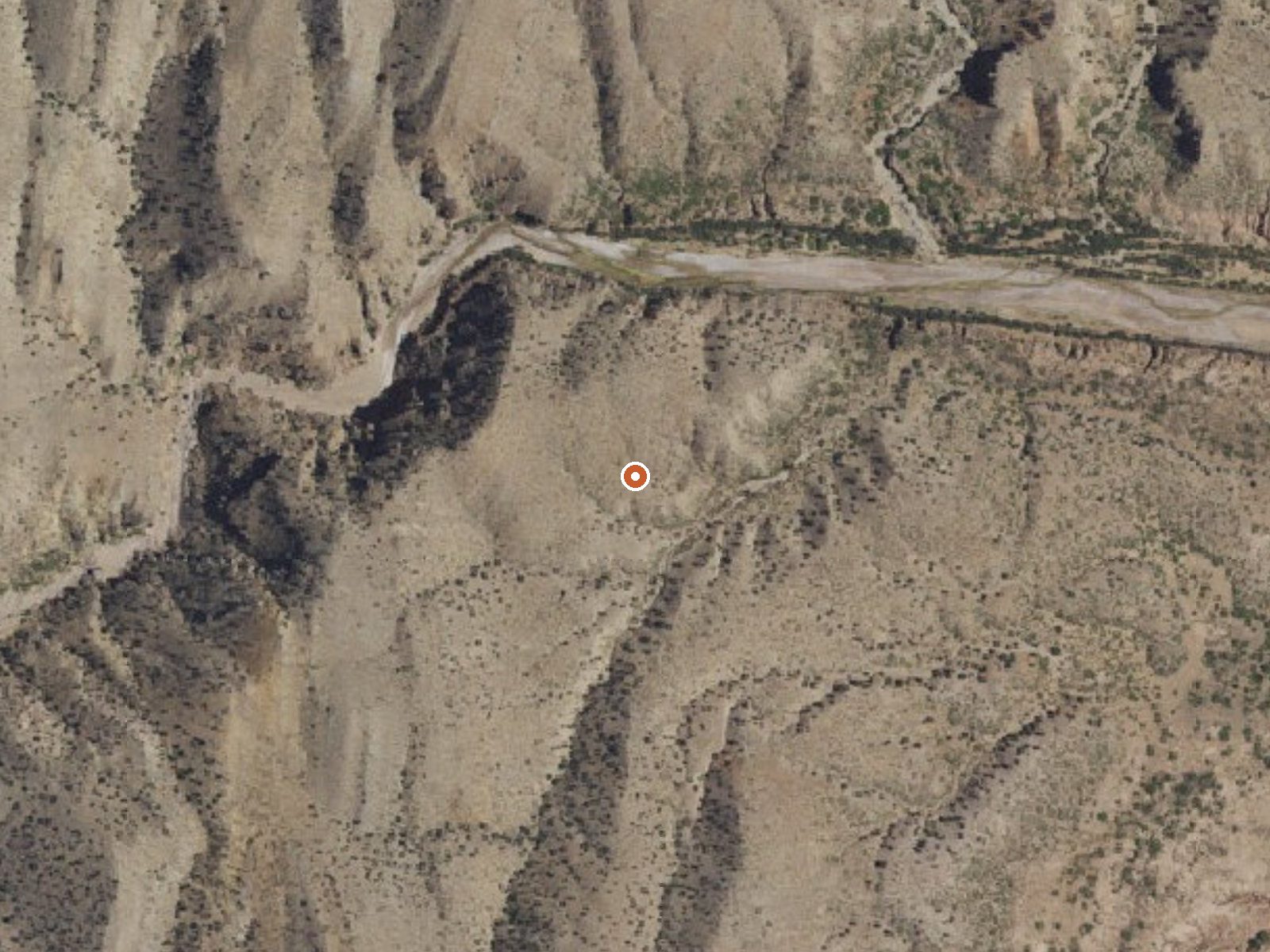
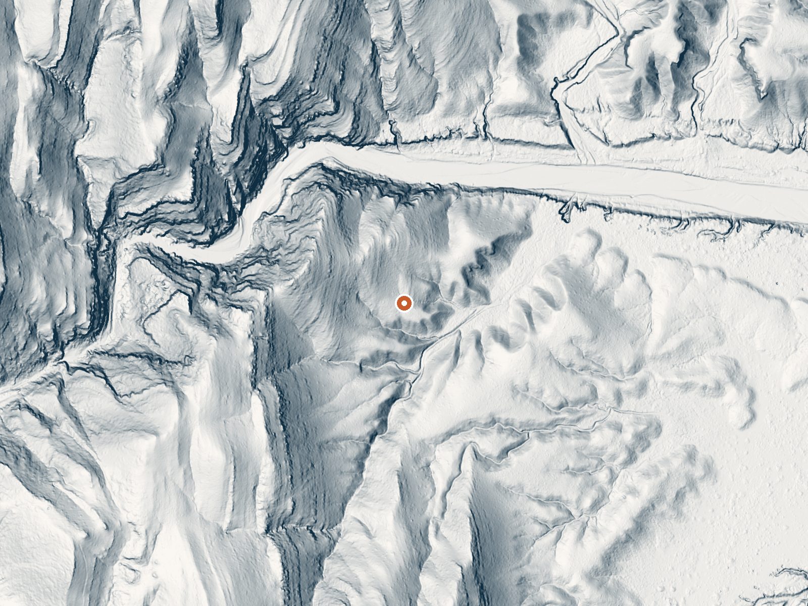
Drag the handle to compare the two views. The orange dot marks the spring, in a frame about three quarters of a mile wide.
BLM land in Socorro County, 22 miles or so from the town of Socorro: an unnamed thermal point with tepid water in the low seventies. Public ground, access open. The USGS measured flow here, a trickle of about a third of a cubic foot per second, which is a detail most springs in the record lack. Half a mile from a road.
Around 5,300 feet on Socorro Field Office land, dry, with light snow. The walk in from the road, which has no name, is about half a mile. Water Canyon Campground, twenty-one miles away, is the only camp listed. No picture, no description of the outlet. The land is public under the BLM.
The calendar on file favors midwinter. The November 1961 sample was mildly alkaline. Free and open. Too cool to soak in comfort, so think of it as something to visit on the way elsewhere. Temperature and flow figures are both old. Nothing on file mentions a pool.
The USGS keeps this spring in its inventory under a site number and measured its discharge, a small flow, along with a water sample in 1961.
Aircraft with laser scanners measured this ground to within inches. The scan strips out trees and buildings, leaving the bare shape of the land around this spring.
- Setting
- Hillside
- The spring sits on a steep slope that climbs to the west.
- Highest ground nearby
- 210 ft above the spring
- Within a quarter mile, to the west
A slice through the ground from west to east, about 0.6 miles end to end.
Elevation data: USGS 3D Elevation Program. Aerial imagery: USGS The National Map. Public domain.
That's about 1½ times the US average of 65. It's higher than at 57% of the springs on this site.
Heat flow measures the warmth working its way up through the ground from deep inside the earth. Where it runs high, rain and snowmelt that seep down through cracks in the rock come back up hot.
See every spring on the geothermal heat map →
Heat flow estimate: Stanford Thermal Earth Model (Aljubran & Horne, 2024), CC BY 4.0.
The water at This spring is slightly alkaline (pH 7.6). It is notably rich in calcium (may support bone density and joint health), sulfate (traditionally used for skin conditions and inflammation), and chloride (natural antiseptic with skin health benefits).
Some links are affiliate links. We may earn a commission at no extra cost to you.
This campground is located at an elevation of 6,800 feet in the Magdalena Mountains.
this spring sits at 5,294 feet above sea level, way above the mile-high mark. You may not feel the altitude strongly, but hot water still dehydrates you faster at elevation. UV is about 21% stronger than at sea level, so bring sunscreen and drink more water than you normally would.



As an Amazon Associate, we earn from qualifying purchases.
this spring is road-accessible, so you can bring more gear.




As an Amazon Associate, we earn from qualifying purchases.