Unnamed Thermal Spring
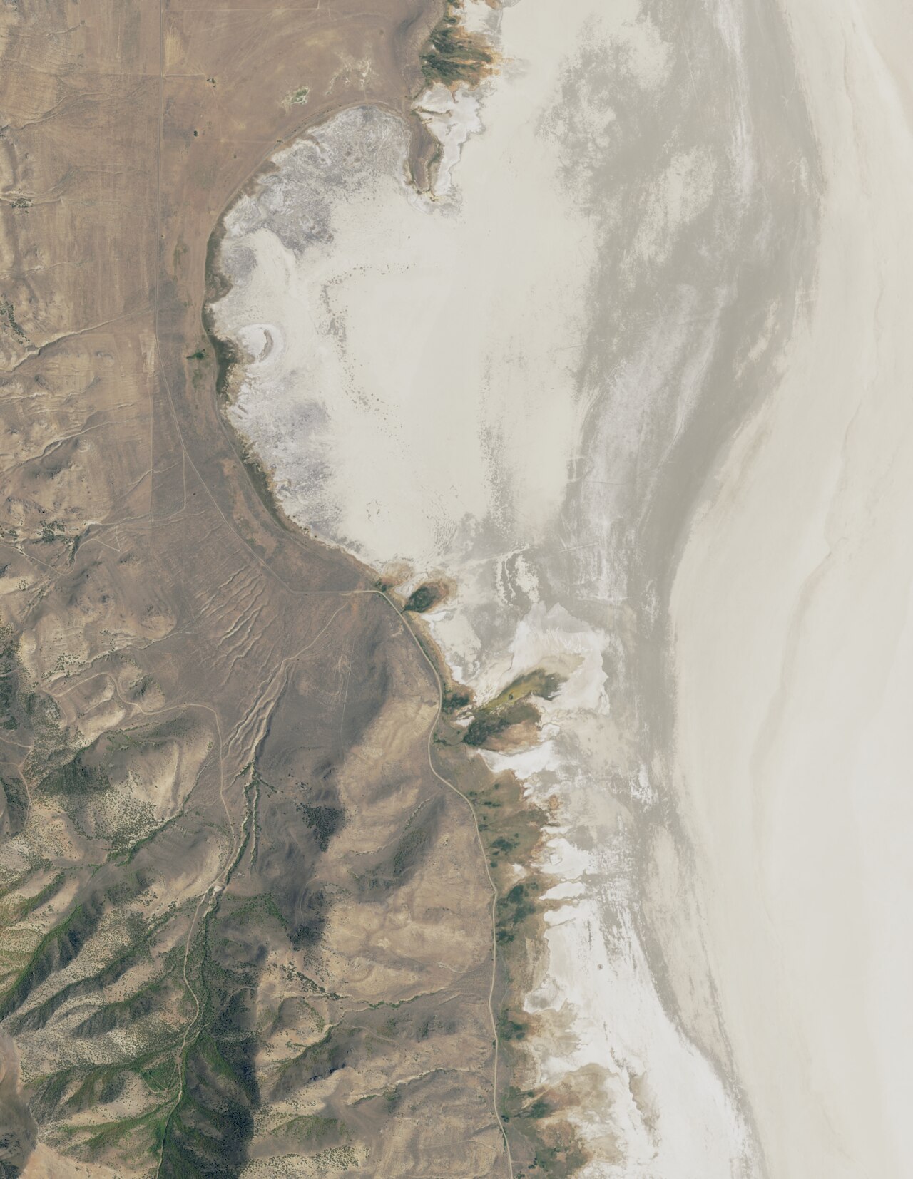
An unnamed warm spring on the shore lands of the Great Salt Lake in Weber County, on state land administered under the Great Salt Lake unit, about seventeen miles from Plain City. What stands out is the water: a 1963 sample found brine, chloride dominating and dissolved solids at a level well beyond anything you would drink. The flow itself is tepid. Access is listed as unknown.
South East Promontory Road passes within a few hundred feet, so the approach is a short walk over ground at lake level, a little over four thousand feet. The land owner on record is SDNR, a state agency, and the designation code is SOTH. Winter brings two feet of snow on average, and the year is moderately dry. There is a photograph on file.
December through February are the record's months. Simpson Springs Campground is the nearest listed, a long twenty-two miles away. The only chemistry is that 1963 sample and it is salt, so do not expect soft mineral water. Ask the state land office about access before you go, since the record marks it unknown.
Aircraft with laser scanners measured this ground to within inches. The scan strips out trees and buildings, leaving the bare shape of the land around this spring.
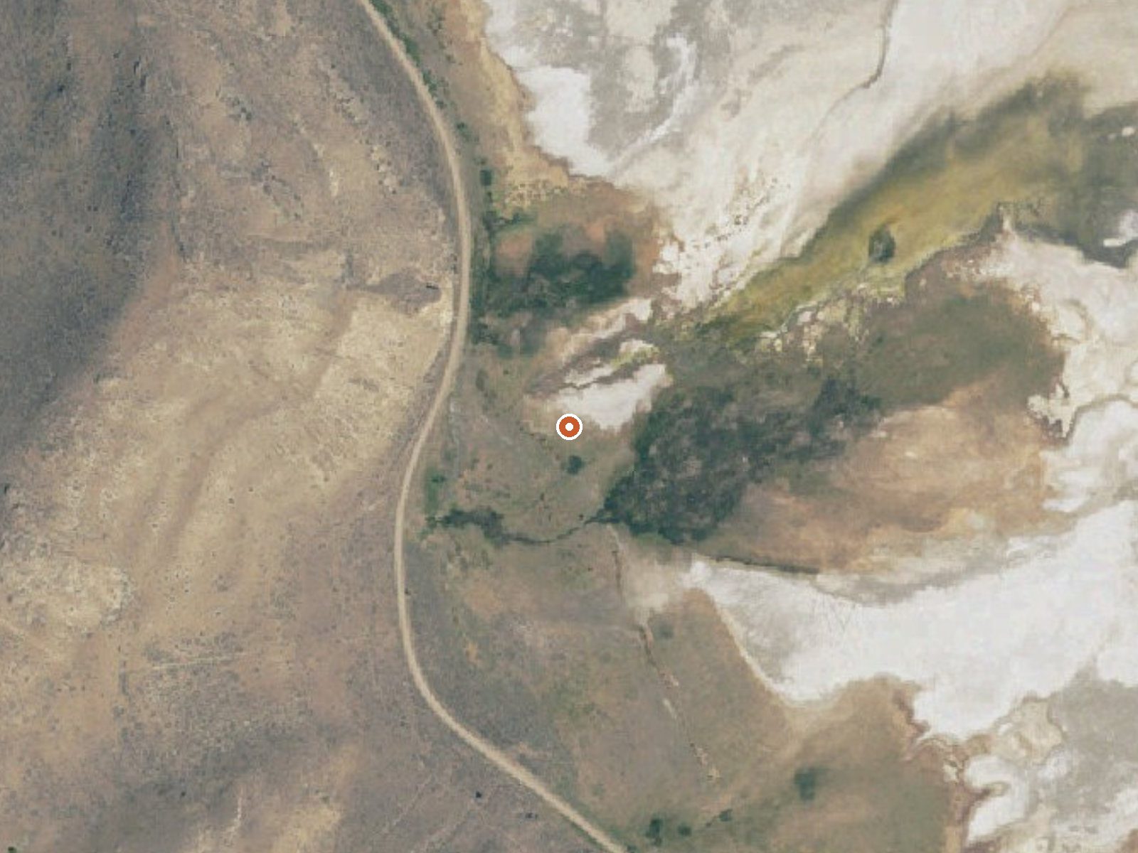
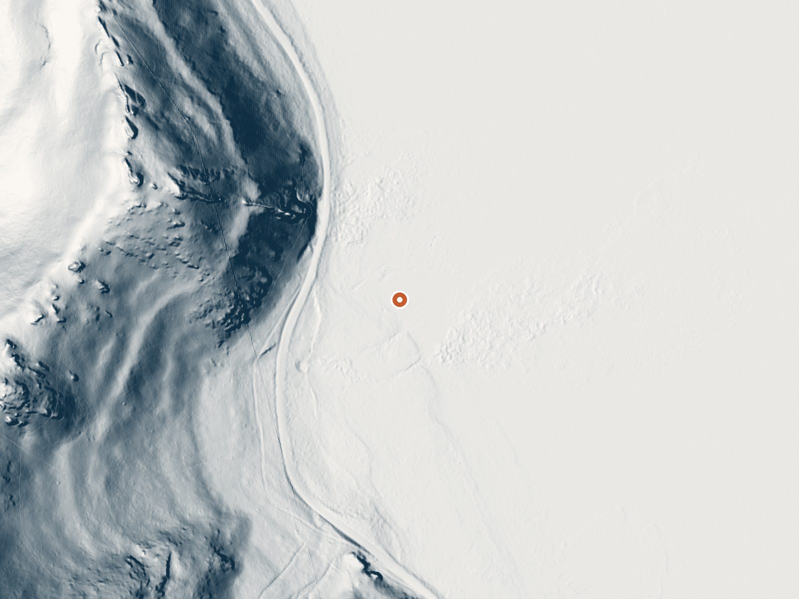
Drag the handle to compare the two views. The orange dot marks the spring, in a frame about three quarters of a mile wide.
- Setting
- Hillside
- The spring sits on a steep slope that climbs to the northwest.
- Highest ground nearby
- 448 ft above the spring
- Within a quarter mile, to the northwest
A slice through the ground from northwest to southeast, about 0.6 miles end to end.
Elevation data: USGS 3D Elevation Program. Aerial imagery: USGS The National Map. Public domain.
That's about 2½ times the US average of 65. It's higher than at 93% of the springs on this site.
Heat flow measures the warmth working its way up through the ground from deep inside the earth. Where it runs high, rain and snowmelt that seep down through cracks in the rock come back up hot.
See every spring on the geothermal heat map →
Heat flow estimate: Stanford Thermal Earth Model (Aljubran & Horne, 2024), CC BY 4.0.
The water at This spring contains 24900 mg/L total dissolved solids. It is notably rich in chloride (natural antiseptic with skin health benefits) and total dissolved solids (higher mineral concentration for therapeutic soaking).
Some links are affiliate links. We may earn a commission at no extra cost to you.
Overview The campground is situated on the eastern edge of Utah's West Desert near the historic Simpson Springs station on the Pony Express National Historic Trail. Simpson Springs was the site of a significant Civilian Conservation Corps (CCC) camp in the late 1930s and early 1940s, just prior to the establishment of the US Army Dugway Proving Grounds during World War II. Recreation Hiking, picnicking, OHV riding, mountian biking, horseback riding, wildlife viewing, scenic backcountry byway,...
this spring is road-accessible, so you can bring more gear.






As an Amazon Associate, we earn from qualifying purchases.