Alum Springs
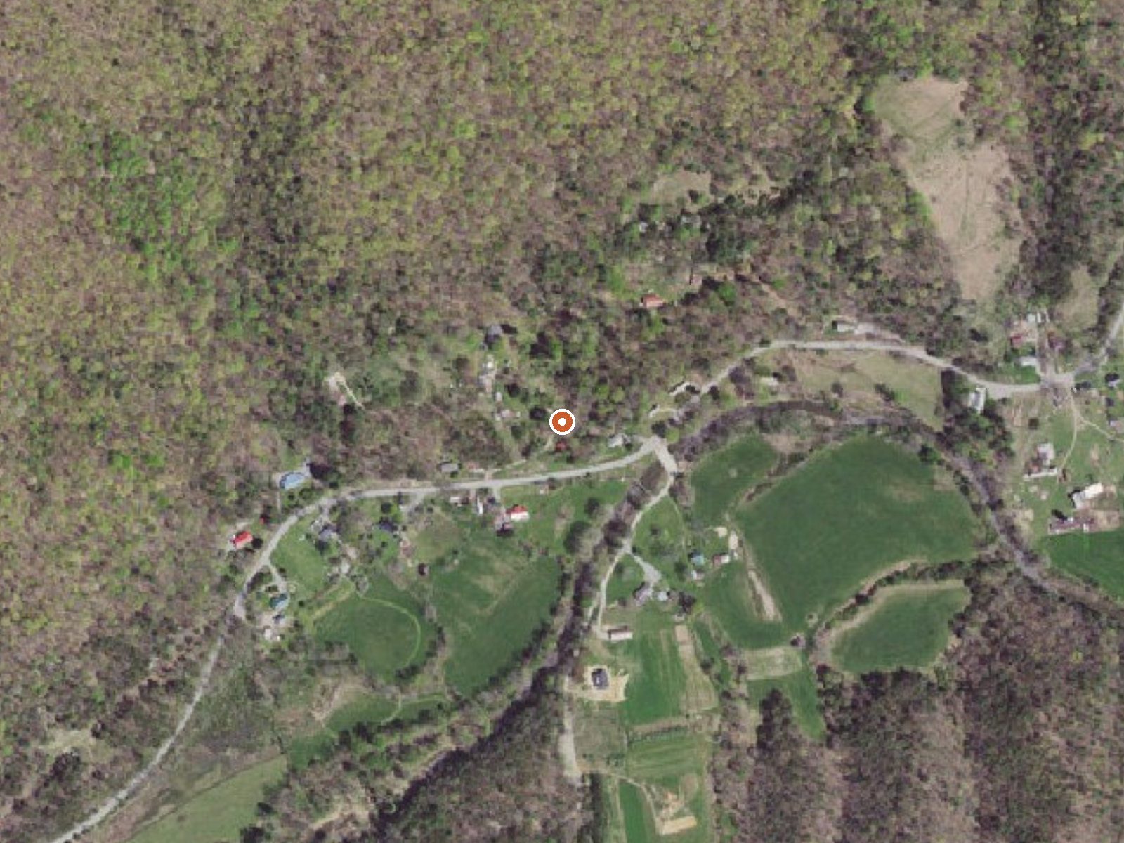
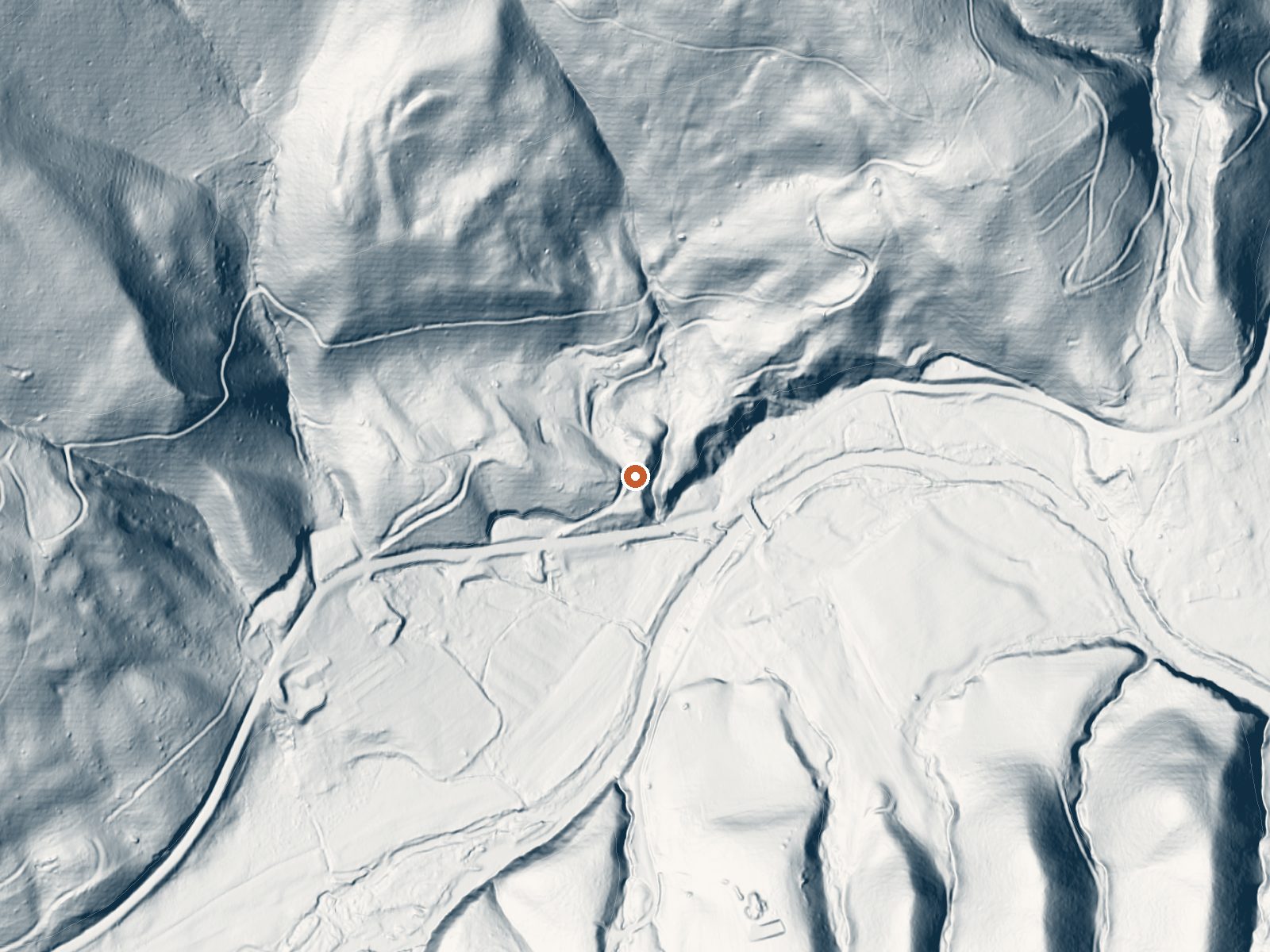
Drag the handle to compare the two views. The orange dot marks the spring, in a frame about three quarters of a mile wide.
Alum Springs, in Pulaski County, Virginia, is a tepid spring about eight miles from the town of Pulaski. Low seventies water, which on an August afternoon in the Appalachians feels like a cool creek. The name suggests alum in the water, but there is no chemistry on file to back that up. Nothing in the record names an owner, and nobody has recorded if the public can go there.
Little Creek Road comes within about two hundred feet, so you are looking at a roadside stop. The ground is near two thousand feet, ridge and valley country. Rain is the story here, forty-one inches in a year, while snow is light, about twenty inches. There is no USGS station and no photograph, and No land is on record, so you will be going in without much to guide you.
Winter has the best rating on file, and with the modest snowfall the road should stay drivable. The closest camping on record is Stony Fork Cabin, about twenty-three miles out. Assume private ground until you learn otherwise. The temperature is the one hard measurement recorded, and even that has no date attached.
Aircraft with laser scanners measured this ground to within inches. The scan strips out trees and buildings, leaving the bare shape of the land around Alum Springs.
- Setting
- Hillside
- The spring sits on a steep slope that climbs to the north.
- Highest ground nearby
- 416 ft above the spring
- Within a quarter mile, to the north
A slice through the ground from northwest to southeast, about 0.6 miles end to end.
Elevation data: USGS 3D Elevation Program. Aerial imagery: USGS The National Map. Public domain.
That's close to the US average of 65. It's higher than at 15% of the springs on this site.
Heat flow measures the warmth working its way up through the ground from deep inside the earth. Where it runs high, rain and snowmelt that seep down through cracks in the rock come back up hot.
See every spring on the geothermal heat map →
Heat flow estimate: Stanford Thermal Earth Model (Aljubran & Horne, 2024), CC BY 4.0.
Some links are affiliate links. We may earn a commission at no extra cost to you.
Overview Stony Fork Cabin is a cozy one-bedroom hideaway with most of the comforts of home. Visitors can hike, mountain bike, explore the many nearby creeks, or simply relax on the cabin's private patio. The cabin is located within the Stony Fork Campground along the Big Walker Mountain Scenic Byway. The Appalachian Trail, Seven Sisters Trail, and stocked fishing streams are all within a close proximity, and the site is easily accessed from I-77. State hunting and fishing regulations and lic...
Alum Springs is road-accessible, so you can bring more gear.






As an Amazon Associate, we earn from qualifying purchases.
Springs Near Alum Springs
More Springs Around 72°F
Hike 6 waterfalls near Alum Springs
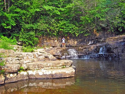

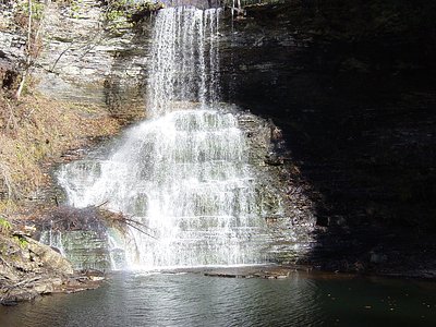
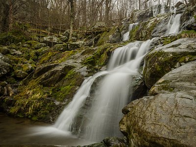

Looking for more outdoor adventures? Explore waterfall hikes near Alum Springs, Virginia.