Antelope Spring
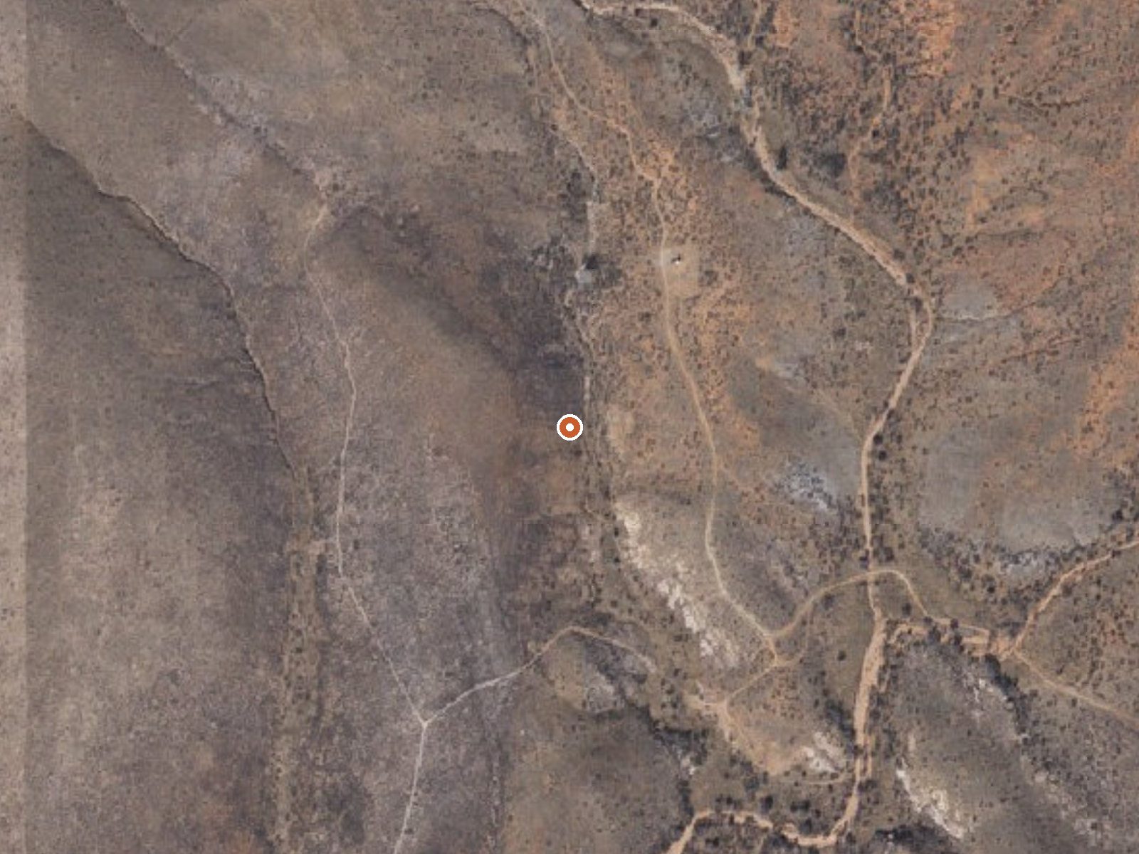
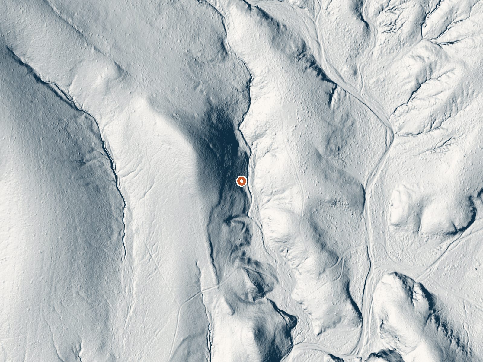
Drag the handle to compare the two views. The orange dot marks the spring, in a frame about three quarters of a mile wide.
Antelope Spring is a warm seep in Cochise County, about eleven miles from Tombstone, and that is close to everything known about it. The water is tepid, below body heat, the sort of temperature that feels pleasant in January and pointless in July. Nobody has recorded who owns the land. Access is not on record either. There is no chemistry on file and no picture.
High desert, not far short of a mile up, dry enough that snow is a rare event and rain totals stay in single digits. Three quarters of a mile, a bit less, separates the spring from the closest road, which the record classes as a short walk, and that road is nameless in the record. Shaw House is the nearest listed camp, roughly eighteen miles away. Land ownership is unrecorded.
Deep winter is what the record picks, December through February. The walk in from an unnamed road is short. For camping there is Shaw House, a long way out. Neither a fee nor an access status shows up anywhere, which means ownership is worth confirming before you set foot on it. Water this cool needs no heat warning.
Aircraft with laser scanners measured this ground to within inches. The scan strips out trees and buildings, leaving the bare shape of the land around Antelope Spring.
- Setting
- Hillside
- The spring sits on a steep slope that climbs to the northwest.
- Highest ground nearby
- 78 ft above the spring
- Within a quarter mile, to the northwest
A slice through the ground from northwest to southeast, about 0.6 miles end to end.
Elevation data: USGS 3D Elevation Program. Aerial imagery: USGS The National Map. Public domain.
That's about 1½ times the US average of 65. It's higher than at 32% of the springs on this site.
Heat flow measures the warmth working its way up through the ground from deep inside the earth. Where it runs high, rain and snowmelt that seep down through cracks in the rock come back up hot.
See every spring on the geothermal heat map →
Heat flow estimate: Stanford Thermal Earth Model (Aljubran & Horne, 2024), CC BY 4.0.
Some links are affiliate links. We may earn a commission at no extra cost to you.
Overview Is a cabin rental the right fit for your group? Shaw House is a stone masonry cabin located in East Cochise Stronghold in the Dragoon Mountains of the Coronado National Forest. The house is nestled in a dramatic landscape of canyons and rock formations offering guests to the area a unique lodging experience. Nearby trails provide excellent hiking, mountain biking, and horseback riding opportunities. An air conditioner/heating climate control unit makes Shaw House a year-round destina...
Antelope Spring is road-accessible, so you can bring more gear.




As an Amazon Associate, we earn from qualifying purchases.
Springs Near Antelope Spring
More Springs Around 79°F
Hike 1 waterfall near Antelope Spring
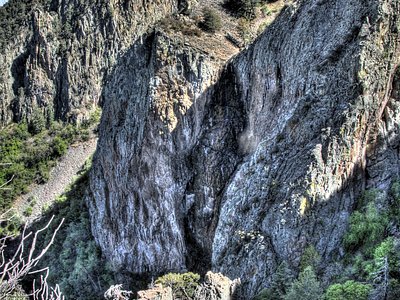
Looking for more outdoor adventures? Explore waterfall hikes near Antelope Spring, Arizona.