Monkey Spring
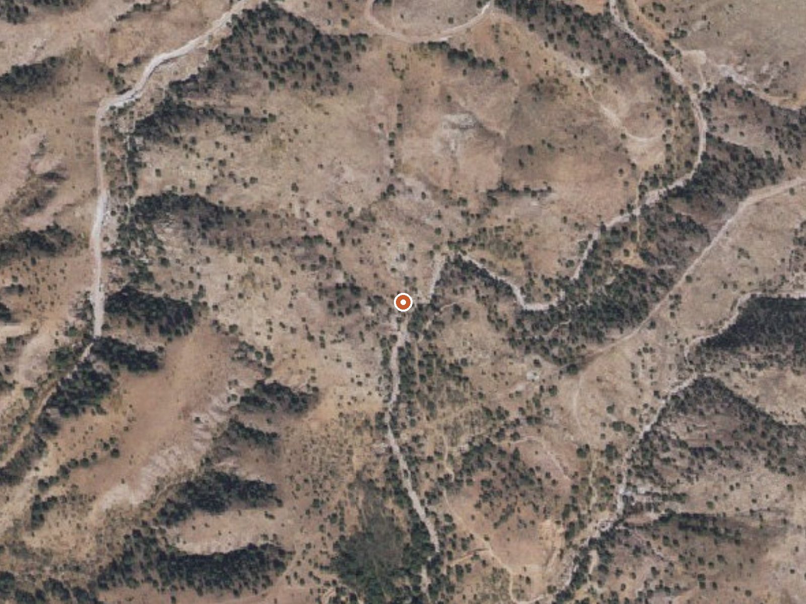
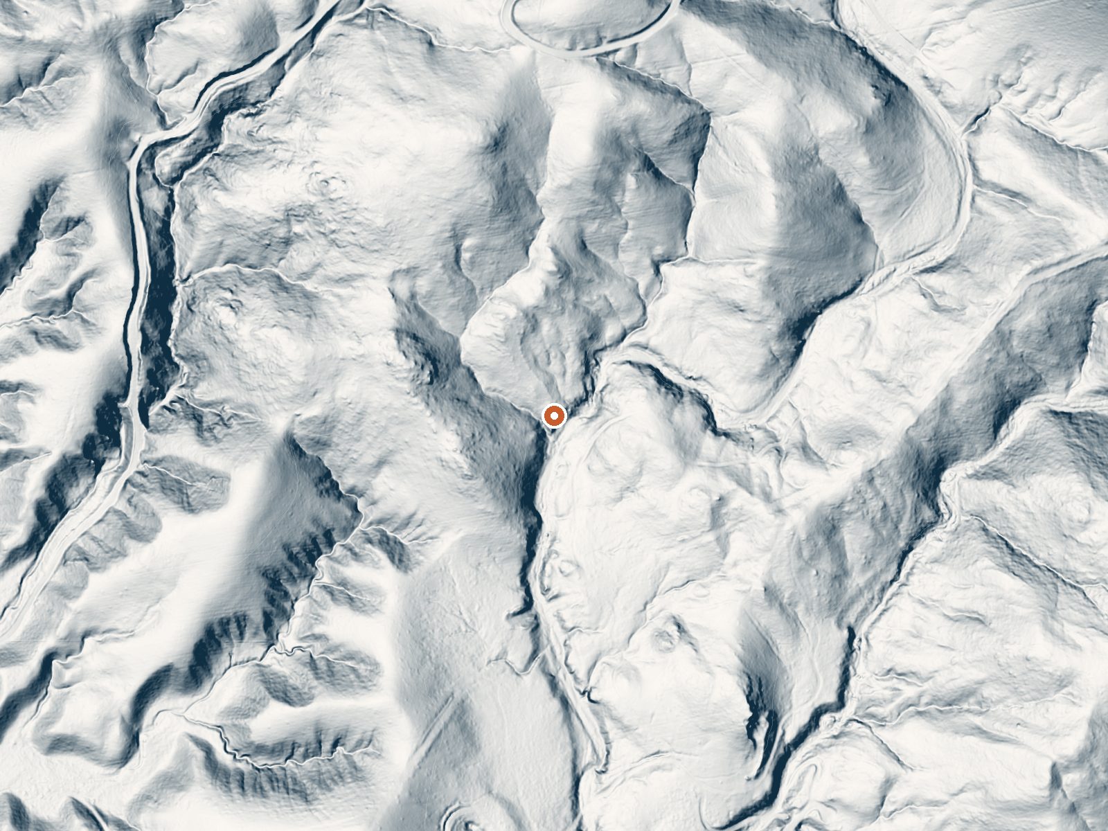
Drag the handle to compare the two views. The orange dot marks the spring, in a frame about three quarters of a mile wide.
Warm water in the low eighties, half a mile off the nearest road in Santa Cruz County: that is Monkey Spring. Rio Rico is the closest town, about nineteen miles away. The spring is a USGS thermal point more than a destination, and the record carries no land owner and no statement on public access, so nobody has said on paper that you can walk to it.
Half a mile separates the spring from the nearest road, which has no name on record, at a little over forty-five hundred feet. Winters bring a few inches of snow. Rain is modest, around fifteen inches. No land unit or designation is listed, and no fee either. The Kentucky Camp cabin, eight miles away, is the nearest overnight stop in the record.
Winter is the rated season. The only temperature on file is a single reading. Access status and land ownership are both missing; check them before driving out. No fee is listed either. The water is warm enough to feel and too cool for a hot soak.
Aircraft with laser scanners measured this ground to within inches. The scan strips out trees and buildings, leaving the bare shape of the land around Monkey Spring.
- Setting
- Valley floor
- Gentle slopes rise on both sides.
- Highest ground nearby
- 162 ft above the spring
- Within a quarter mile, to the north
A slice through the ground from south to north, about 0.6 miles end to end.
Elevation data: USGS 3D Elevation Program. Aerial imagery: USGS The National Map. Public domain.
That's about 1½ times the US average of 65. It's higher than at 20% of the springs on this site.
Heat flow measures the warmth working its way up through the ground from deep inside the earth. Where it runs high, rain and snowmelt that seep down through cracks in the rock come back up hot.
See every spring on the geothermal heat map →
Heat flow estimate: Stanford Thermal Earth Model (Aljubran & Horne, 2024), CC BY 4.0.
Overview Kentucky Camp Cabin and Headquarters is located in the Santa Rita Mountains near Sonoita, Arizona in the Coronado National Forest. The five adobe buildings originally served as headquarters for the Santa Rita Water and Mining Company from 1902 to 1906. The facility also served as a cattle ranch from the 1920s through the 1960s. The Forest Service acquired the land in 1989 and it has since become an ideal location for guests seeking a unique lodging experience, rich in mining and ranc...
Springs Near Monkey Spring
More Springs Around 82°F
Hike 2 waterfalls near Monkey Spring
Looking for more outdoor adventures? Explore waterfall hikes near Monkey Spring, Arizona.