Pumpkin Spring
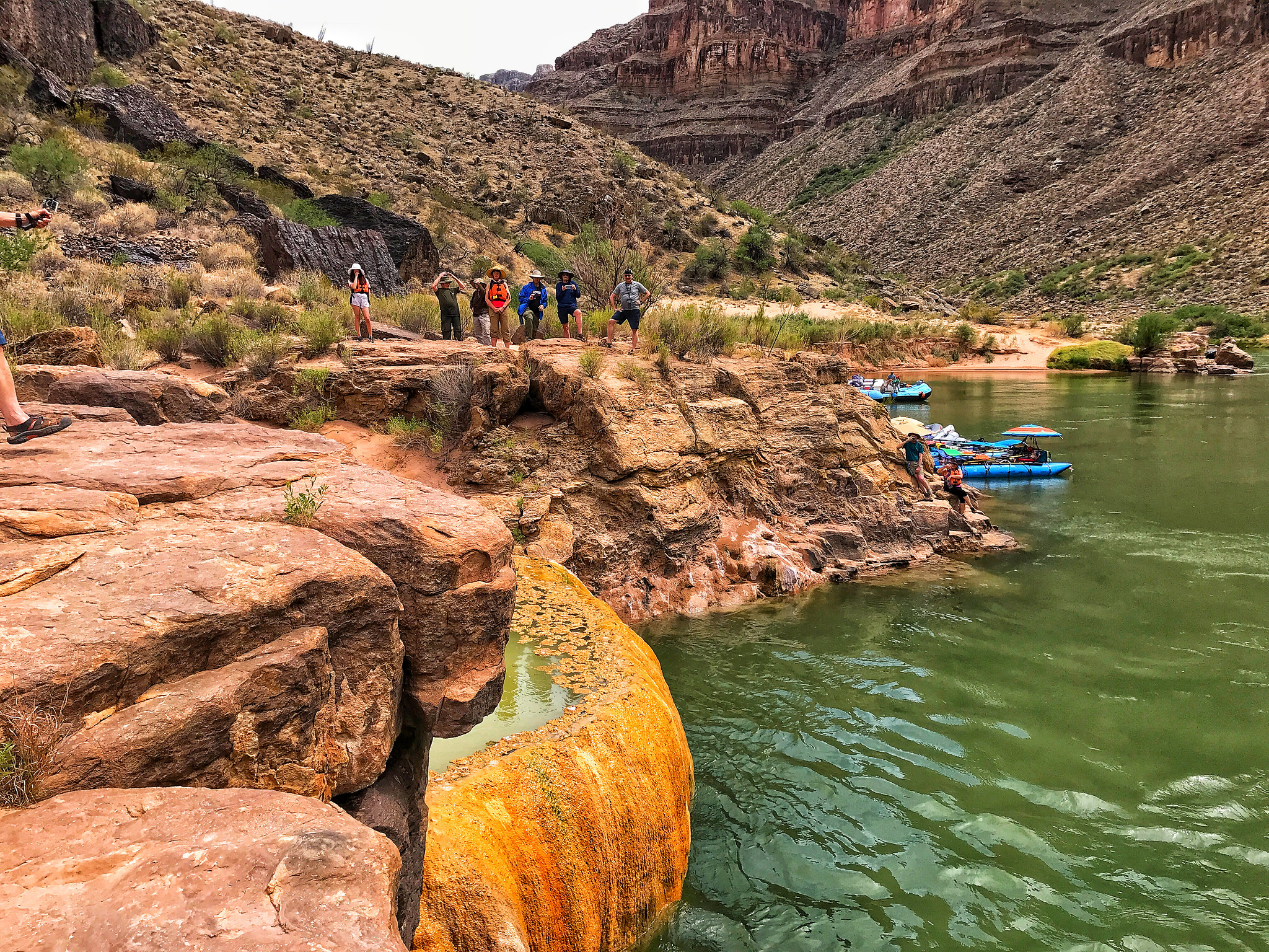
Pumpkin Spring is a mineral spring down in the Grand Canyon on the Hualapai Indian Reservation in Mohave County. It gets the name from bright orange mineral and organic deposits that have built up on the flowstone until the whole thing looks like an enormous pumpkin. No temperature is on file, so do not take this for a soaking spring. Peach Springs is the closest town, about 27 miles away by the record. Public access is marked unknown.
This is true backcountry. Seven miles from the nearest road, which goes nameless in the record, at a low elevation inside the canyon. The ground is tribal land. A 1995 water sample found the spring near neutral, with iron among the minerals, which fits the color. The climate figures show roughly a foot of snow a year and eleven inches of rain.
Reaching this spring means seven miles on foot, and the record says nothing about the route. Access is not established; this is Hualapai land and permission would be needed from the tribe before any attempt. No best months are listed. The water has never been measured for temperature here, and the orange deposits are minerals, so treat the spring as something to look at.
The color gave it the name. Orange deposits, mineral and organic both, coat the flowstone, and the spring has built a mineralized carbonate mound where it reaches the surface. USGS records put it among the thermal sites of the Grand Canyon.
USGS hasn't flown a detailed laser scan here yet, so this view comes from aerial photos and older elevation data.
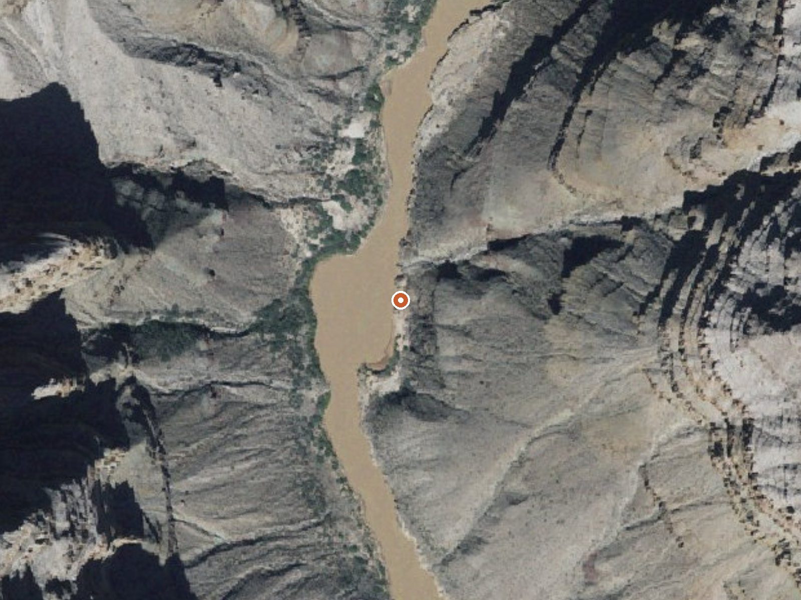
The orange dot marks the spring, in a frame about three quarters of a mile wide.
- Setting
- Canyon floor
- Steep ground climbs away on both sides of the spring.
- Highest ground nearby
- 779 ft above the spring
- Within a quarter mile, to the east
A slice through the ground from west to east, about 0.6 miles end to end.
Elevation data: USGS 3D Elevation Program. Aerial imagery: USGS The National Map. Public domain.
That's about 1½ times the US average of 65. It's higher than at 44% of the springs on this site.
Heat flow measures the warmth working its way up through the ground from deep inside the earth. Where it runs high, rain and snowmelt that seep down through cracks in the rock come back up hot.
See every spring on the geothermal heat map →
Heat flow estimate: Stanford Thermal Earth Model (Aljubran & Horne, 2024), CC BY 4.0.
The water at Pumpkin Spring is neutral (pH 6.9). It is notably rich in calcium (may support bone density and joint health), magnesium (known for muscle relaxation and stress relief), and sulfate (traditionally used for skin conditions and inflammation).
Some links are affiliate links. We may earn a commission at no extra cost to you.
Pumpkin Spring requires a hike to reach, so pack light but prepared. Bring sun protection for exposed soaking.






As an Amazon Associate, we earn from qualifying purchases.
Springs Near Pumpkin Spring
Neutral Springs (pH ~6.9)
Hike 6 waterfalls near Pumpkin Spring
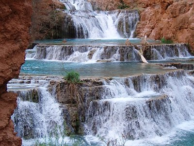
Looking for more outdoor adventures? Explore waterfall hikes near Pumpkin Spring, Arizona.