Spring
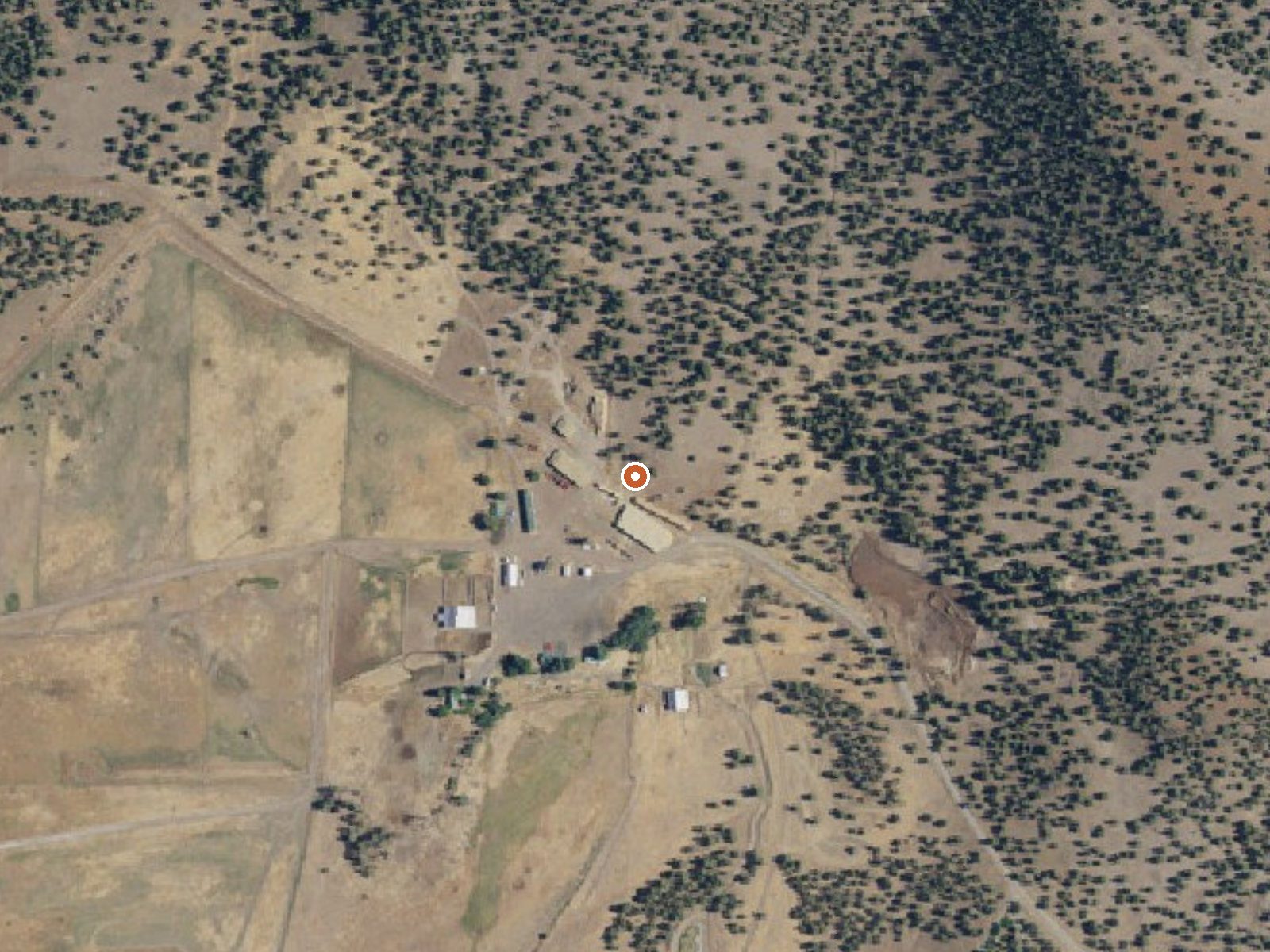
The orange dot marks the spring, in a frame about three quarters of a mile wide.
Eleven miles from Alturas in Modoc County, a plain entry on the thermal list: a spring named only Spring, running tepid at around eighty degrees. It sits almost on the road. The ownership line is blank, and so is public access, which means you cannot assume a right to be there.
Classified roadside, and the walk from the road is under a hundred yards. That road has no name on the record. High plateau country here, around 4,500 feet, and cold for California. The yearly average sits near fifty and winters lay down something near four feet of snow. Precipitation runs about eighteen inches.
Midwinter comes out on top for timing, though at this height that means walking in over snow. Tepid water carries no burn risk. Nothing shows up for camping nearby, and no fee is listed. Before going, run down who holds the land, because ownership and permission are both missing.
USGS hasn't flown a detailed laser scan here yet, so this view comes from aerial photos and older elevation data.
- Setting
- Gentle slope
- The ground tilts gently up to the east.
- Highest ground nearby
- 151 ft above the spring
- Within a quarter mile, to the east
A slice through the ground from southwest to northeast, about 0.6 miles end to end.
Elevation data: USGS 3D Elevation Program. Aerial imagery: USGS The National Map. Public domain.
That's about 1½ times the US average of 65. It's higher than at 27% of the springs on this site.
Heat flow measures the warmth working its way up through the ground from deep inside the earth. Where it runs high, rain and snowmelt that seep down through cracks in the rock come back up hot.
See every spring on the geothermal heat map →
Heat flow estimate: Stanford Thermal Earth Model (Aljubran & Horne, 2024), CC BY 4.0.
Some links are affiliate links. We may earn a commission at no extra cost to you.
Spring is road-accessible, so you can bring more gear.






As an Amazon Associate, we earn from qualifying purchases.
Springs Near Spring
More Springs Around 81°F
Hike 2 waterfalls near Spring

Looking for more outdoor adventures? Explore waterfall hikes near Spring, California.